Estimated Value: $625,000 - $844,000
4
Beds
3
Baths
2,436
Sq Ft
$294/Sq Ft
Est. Value
About This Home
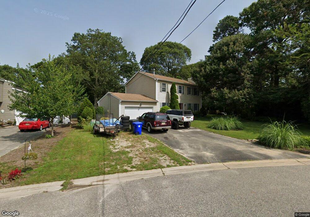
This home is located at 666 Hawks Nest Rd, Brick, NJ 08724 and is currently estimated at $716,770, approximately $294 per square foot. 666 Hawks Nest Rd is a home located in Ocean County with nearby schools including Midstreams Elementary School, Veterans Memorial Middle School, and Brick Township Memorial High School.
Ownership History
Date
Name
Owned For
Owner Type
Purchase Details
Closed on
Sep 4, 2018
Sold by
Samuelson Merle and Samuelson Donna L
Bought by
Merle R Samuleson Trust and Donna L Samuleson Trust
Current Estimated Value
Purchase Details
Closed on
Jul 19, 1989
Bought by
Samuelson Merle and Donna Kitchen
Create a Home Valuation Report for This Property
The Home Valuation Report is an in-depth analysis detailing your home's value as well as a comparison with similar homes in the area
Home Values in the Area
Average Home Value in this Area
Purchase History
| Date | Buyer | Sale Price | Title Company |
|---|---|---|---|
| Merle R Samuleson Trust | -- | None Available | |
| Samuelson Merle | $180,000 | -- |
Source: Public Records
Tax History Compared to Growth
Tax History
| Year | Tax Paid | Tax Assessment Tax Assessment Total Assessment is a certain percentage of the fair market value that is determined by local assessors to be the total taxable value of land and additions on the property. | Land | Improvement |
|---|---|---|---|---|
| 2025 | $9,339 | $357,800 | $171,200 | $186,600 |
| 2024 | $8,613 | $357,800 | $171,200 | $186,600 |
| 2023 | $8,484 | $357,800 | $171,200 | $186,600 |
| 2022 | $8,734 | $357,800 | $171,200 | $186,600 |
| 2021 | $8,301 | $357,800 | $171,200 | $186,600 |
| 2020 | $8,441 | $357,800 | $171,200 | $186,600 |
| 2019 | $8,290 | $357,800 | $171,200 | $186,600 |
| 2018 | $8,101 | $357,800 | $171,200 | $186,600 |
| 2017 | $7,882 | $357,800 | $171,200 | $186,600 |
| 2016 | $7,589 | $357,800 | $171,200 | $186,600 |
| 2015 | $7,385 | $357,800 | $171,200 | $186,600 |
| 2014 | $7,321 | $357,800 | $171,200 | $186,600 |
Source: Public Records
Map
Nearby Homes
- 665 Bancroft Rd
- 598 Robinhood Rd
- 693 Harbor Rd
- 590 Princeton Ave
- 648 Point Ave
- 34 Hidden Harbor Dr Unit 34
- 117 Joie Place
- 125 Northeast Dr
- 1615 Calamus Place
- 15 Hidden Harbor Dr
- 701 Princeton Ave
- 173 Cliff Rd
- 1621 Northstream Pkwy
- 8 Hidden Harbor Dr Unit 8H
- 2401 Mallow St
- 2419 Mallow St
- 502 Princeton Ave
- 80 Jordan Rd
- 1616 Beaver Dam Rd
- 1553 Littlehill Rd
- 671 Thoroughfare Rd
- 670 Hawks Nest Rd
- 664 Hawks Nest Rd
- 609 Shadow Way
- 667 Thoroughfare Rd
- 671 Hawks Nest Rd
- 667 Hawks Nest Rd
- 613 Shadow Way
- 674 Hawks Nest Rd
- 660 Hawks Nest Rd
- 668 Thoroughfare Rd
- 663 Thoroughfare Rd
- 608 Shadow Way
- 675 Hawks Nest Rd
- 663 Hawks Nest Rd
- 604 Shadow Way
- 612 Cedarstream Place
- 617 Shadow Way
- 602 Shadow Way
- 659 Hawks Nest Rd