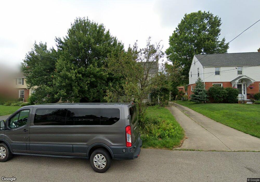
666 Sloane Ave Mansfield, OH 44903
Estimated Value: $187,176 - $208,000
3
Beds
4
Baths
1,788
Sq Ft
$110/Sq Ft
Est. Value
About This Home
This home is located at 666 Sloane Ave, Mansfield, OH 44903 and is currently estimated at $196,794, approximately $110 per square foot. 666 Sloane Ave is a home located in Richland County with nearby schools including Discovery School, St. Peter's High School/Junior High, and St. Peter's Elementary/Montessori School.
Ownership History
Date
Name
Owned For
Owner Type
Purchase Details
Closed on
Jan 28, 2005
Sold by
Crawford David C and Crawford Julia S
Bought by
Lacey Jody M
Current Estimated Value
Home Financials for this Owner
Home Financials are based on the most recent Mortgage that was taken out on this home.
Original Mortgage
$105,000
Outstanding Balance
$53,440
Interest Rate
5.77%
Mortgage Type
Purchase Money Mortgage
Estimated Equity
$143,354
Purchase Details
Closed on
Aug 1, 1985
Create a Home Valuation Report for This Property
The Home Valuation Report is an in-depth analysis detailing your home's value as well as a comparison with similar homes in the area
Home Values in the Area
Average Home Value in this Area
Purchase History
| Date | Buyer | Sale Price | Title Company |
|---|---|---|---|
| Lacey Jody M | $105,000 | Southern Title | |
| -- | $55,000 | -- |
Source: Public Records
Mortgage History
| Date | Status | Borrower | Loan Amount |
|---|---|---|---|
| Open | Lacey Jody M | $105,000 |
Source: Public Records
Tax History Compared to Growth
Tax History
| Year | Tax Paid | Tax Assessment Tax Assessment Total Assessment is a certain percentage of the fair market value that is determined by local assessors to be the total taxable value of land and additions on the property. | Land | Improvement |
|---|---|---|---|---|
| 2024 | $2,071 | $44,230 | $4,000 | $40,230 |
| 2023 | $2,071 | $44,230 | $4,000 | $40,230 |
| 2022 | $1,783 | $31,910 | $3,430 | $28,480 |
| 2021 | $1,795 | $31,910 | $3,430 | $28,480 |
| 2020 | $1,836 | $31,910 | $3,430 | $28,480 |
| 2019 | $2,035 | $31,910 | $3,430 | $28,480 |
| 2018 | $2,007 | $31,910 | $3,430 | $28,480 |
| 2017 | $1,953 | $31,910 | $3,430 | $28,480 |
| 2016 | $1,992 | $31,570 | $4,500 | $27,070 |
| 2015 | $1,992 | $31,570 | $4,500 | $27,070 |
| 2014 | $1,878 | $31,570 | $4,500 | $27,070 |
| 2012 | $753 | $33,240 | $4,740 | $28,500 |
Source: Public Records
Map
Nearby Homes
- 679 Coleman Rd
- 616 Cline Ave
- 408 Fairlawn Ave
- 538 Broadview Ave
- 191 Fairlawn Ave
- 212 Marlow Rd
- 143 Fairlawn Ave
- 135 Fairlawn Ave
- 129 Fairlawn Ave
- 118 Parkwood Blvd
- 133 Stewart Ave S
- 655 Woodhill Rd
- 190 S Linden Rd
- 126 Dawson Ave
- 78 Glenwood Blvd
- 143 Kingwood Place
- 88 Sherman Ave
- 244 S Trimble Rd Unit 246
- 232 S Trimble Rd Unit 234
- 41 Parkwood Blvd
- 672 Sloane Ave
- 662 Sloane Ave
- 678 Sloane Ave
- 656 Sloane Ave
- 665 Manchester Rd
- 671 Manchester Rd
- 679 Manchester Rd
- 659 Manchester Rd
- 650 Sloane Ave
- 673 Sloane Ave
- 685 Manchester Rd
- 653 Manchester Rd
- 679 Sloane Ave
- 655 Sloane Ave
- 690 Sloane Ave
- 646 Sloane Ave
- 651 Sloane Ave
- 647 Manchester Rd
- 691 Manchester Rd
- 664 Manchester Rd Unit 668