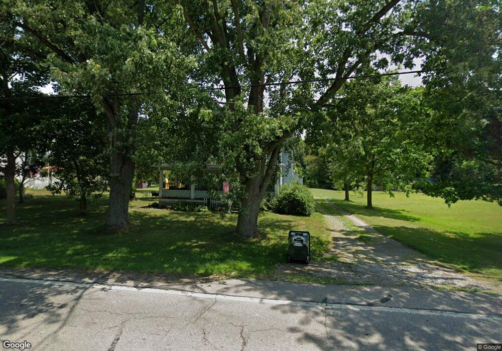
6661 N Elyria Rd West Salem, OH 44287
Estimated Value: $186,000 - $268,000
4
Beds
2
Baths
2,048
Sq Ft
$106/Sq Ft
Est. Value
About This Home
This home is located at 6661 N Elyria Rd, West Salem, OH 44287 and is currently estimated at $217,994, approximately $106 per square foot. 6661 N Elyria Rd is a home located in Wayne County with nearby schools including Northwestern Elementary School and Northwestern Middle School.
Ownership History
Date
Name
Owned For
Owner Type
Purchase Details
Closed on
Jun 11, 2023
Sold by
Kerstetter Michael R
Bought by
Preston Kathy M
Current Estimated Value
Purchase Details
Closed on
Jun 6, 2023
Sold by
Kerstetter John D
Bought by
Preston Kathy M
Purchase Details
Closed on
Jun 3, 2023
Sold by
Simone Elizabeth A
Bought by
Preston Kathy M
Purchase Details
Closed on
Dec 21, 2012
Sold by
Estate Of Jack D Kerstetter
Bought by
Kerstetter Mary J
Purchase Details
Closed on
Jan 1, 1987
Bought by
Kerstetter Jack D and Kerstetter Mary
Create a Home Valuation Report for This Property
The Home Valuation Report is an in-depth analysis detailing your home's value as well as a comparison with similar homes in the area
Home Values in the Area
Average Home Value in this Area
Purchase History
| Date | Buyer | Sale Price | Title Company |
|---|---|---|---|
| Preston Kathy M | $13,900 | None Listed On Document | |
| Preston Kathy M | $13,900 | None Listed On Document | |
| Preston Kathy M | $13,900 | None Listed On Document | |
| Preston Kathy M | $13,900 | None Listed On Document | |
| Preston Kathy M | $13,900 | None Listed On Document | |
| Preston Kathy M | $13,900 | None Listed On Document | |
| Preston Kathy M | $13,900 | None Listed On Document | |
| Preston Kathy M | $13,850 | None Listed On Document | |
| Preston Kathy M | $13,900 | None Listed On Document | |
| Preston Kathy M | $13,900 | None Listed On Document | |
| Preston Kathy M | $13,900 | None Listed On Document | |
| Preston Kathy M | $13,900 | None Listed On Document | |
| Preston Kathy M | $13,900 | None Listed On Document | |
| Kerstetter Mary J | -- | None Available | |
| Kerstetter Jack D | -- | -- |
Source: Public Records
Tax History Compared to Growth
Tax History
| Year | Tax Paid | Tax Assessment Tax Assessment Total Assessment is a certain percentage of the fair market value that is determined by local assessors to be the total taxable value of land and additions on the property. | Land | Improvement |
|---|---|---|---|---|
| 2024 | $1,638 | $46,970 | $5,950 | $41,020 |
| 2023 | $1,638 | $46,970 | $5,950 | $41,020 |
| 2022 | $1,100 | $37,280 | $4,720 | $32,560 |
| 2021 | $1,102 | $37,280 | $4,720 | $32,560 |
| 2020 | $1,115 | $37,280 | $4,720 | $32,560 |
| 2019 | $995 | $32,630 | $3,600 | $29,030 |
| 2018 | $973 | $32,630 | $3,600 | $29,030 |
| 2017 | $965 | $32,630 | $3,600 | $29,030 |
| 2016 | $887 | $31,380 | $3,460 | $27,920 |
| 2015 | $873 | $31,380 | $3,460 | $27,920 |
| 2014 | $883 | $31,380 | $3,460 | $27,920 |
| 2013 | $867 | $30,240 | $3,420 | $26,820 |
Source: Public Records
Map
Nearby Homes
- 10212 Lattasburg Rd
- 9657 W Smithville Western Rd
- 1137 County Road 175
- 156 U S 250
- 164 State Route 302
- 8743 Ashland Rd
- 999 Township Road 133
- 7789 Cedar Valley Rd
- 568 County Road 175
- 104 N Maple St
- V/L #10 Rice Hill Rd
- V/L #8 Rice Hill Rd
- V/L #7 Rice Hill Rd
- V/L #11 Rice Hill Rd
- V/L #5 Rice Hill Rd
- V/L #13 Rice Hill Rd
- V/L #2 Rice Hill Rd
- V/L #9 Rice Hill Rd
- V/L #6 Rice Hill Rd
- V/L #4 Rice Hill Rd
- 6687 N Elyria Rd
- 6627 N Elyria Rd
- 6680 N Elyria Rd
- 6636 N Elyria Rd
- 6607 N Elyria Rd
- 6717 N Elyria Rd
- 10257 Lattasburg Rd
- 10141 Lattasburg Rd
- 10271 Lattasburg Rd
- 10252 Lattasburg Rd
- 6732 N Elyria Rd
- 6732 N Elyria Rd
- 6739 N Elyria Rd
- 10091 Matty Rd
- 10148 Lattasburg Rd
- 10293 Lattasburg Rd
- 6570 N Elyria Rd
- 6496 Berkey Rd
- 10102 Lattasburg Rd
- 10284 Lattasburg Rd