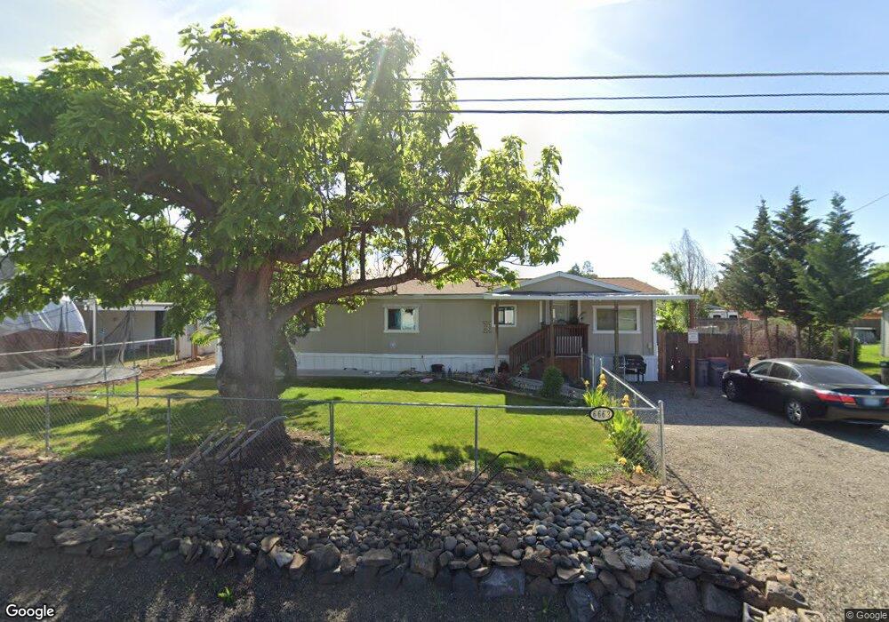
6663 Oakhurst St Central Point, OR 97502
Estimated Value: $120,000 - $214,000
Studio
2
Baths
1,344
Sq Ft
$116/Sq Ft
Est. Value
About This Home
This home is located at 6663 Oakhurst St, Central Point, OR 97502 and is currently estimated at $155,593, approximately $115 per square foot. 6663 Oakhurst St is a home located in Jackson County with nearby schools including Sams Valley Elementary School, Scenic Middle School, and Crater High School.
Ownership History
Date
Name
Owned For
Owner Type
Purchase Details
Closed on
Nov 15, 2011
Sold by
Witt Azeline
Bought by
Padilla Sonia
Current Estimated Value
Purchase Details
Closed on
Nov 15, 2010
Sold by
Corbin Dennis M and Corbin Donna F
Bought by
Witt Azeline
Purchase Details
Closed on
Nov 16, 2006
Sold by
Thompson Gracie L
Bought by
Corbin Dennis M and Corbin Donna F
Home Financials for this Owner
Home Financials are based on the most recent Mortgage that was taken out on this home.
Original Mortgage
$40,000
Interest Rate
6.22%
Mortgage Type
Purchase Money Mortgage
Purchase Details
Closed on
Sep 29, 1993
Sold by
Thompson Johny L and Thompson Gracie L
Bought by
Corbin Dennis M and Corbin Donna F
Create a Home Valuation Report for This Property
The Home Valuation Report is an in-depth analysis detailing your home's value as well as a comparison with similar homes in the area
Purchase History
| Date | Buyer | Sale Price | Title Company |
|---|---|---|---|
| Padilla Sonia | $50,000 | Amerititle | |
| Witt Azeline | -- | None Available | |
| Corbin Dennis M | $40,000 | Lawyers Title Ins | |
| Corbin Dennis M | $43,300 | Amerititle |
Source: Public Records
Mortgage History
| Date | Status | Borrower | Loan Amount |
|---|---|---|---|
| Previous Owner | Corbin Dennis M | $40,000 |
Source: Public Records
Tax History
| Year | Tax Paid | Tax Assessment Tax Assessment Total Assessment is a certain percentage of the fair market value that is determined by local assessors to be the total taxable value of land and additions on the property. | Land | Improvement |
|---|---|---|---|---|
| 2026 | $3,584 | $293,530 | -- | -- |
| 2025 | $1,092 | $62,470 | $62,470 | -- |
| 2024 | $1,092 | $86,300 | $60,640 | $25,660 |
| 2023 | $1,056 | $83,790 | $58,880 | $24,910 |
Source: Public Records
Map
Nearby Homes
- 380 W Gregory Rd Unit 1
- 594 W Gregory Rd
- 1729 E Gregory Rd
- 6850 Downing Rd Unit 11
- 6850 Downing Rd Unit SPC 31
- 6850 Downing Rd Unit 7
- 6850 Downing Rd Unit 25
- 6850 Downing Rd Unit 65
- 225 Wilson Rd
- 549 Wilson Rd
- 2460 Jeremy St
- 1917 Bobcat Way
- 1921 Bobcat Way
- 10068 SE Pavati Dr Unit 37
- 9674 SE Pavati Dr Unit 41
- 10098 SE Pavati Dr Unit 36
- 9697 SE Pavati Dr Unit 27
- 9868 SE Pavati Dr Unit 40
- 1617 Tennessee Ln
- 1653 Kentucky Ct
- 6645 Oakhurst St
- 6683 Oakhurst St
- 6703 Oakhurst St
- 6625 Oakhurst St
- 6656 Oakhurst St
- 6682 Oakhurst St
- 6636 Oakhurst St
- 6721 Oakhurst St
- 6607 Oakhurst St
- 6704 Pinehurst St
- 6646 Pinehurst St
- 210 Laurelhurst St
- 6720 Oakhurst St
- 6589 Oakhurst St
- 194 Laurelhurst St
- 168 Laurelhurst St
- 6664 Pinehurst St
- 6708 Pinehurst St
- 6569 Oakhurst St
- 6590 Pinehurst St
Your Personal Tour Guide
Ask me questions while you tour the home.