Estimated Value: $492,526 - $652,000
--
Bed
1
Bath
2,428
Sq Ft
$231/Sq Ft
Est. Value
About This Home
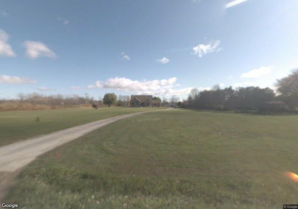
This home is located at 66632 Hartway Rd, Ray, MI 48096 and is currently estimated at $561,132, approximately $231 per square foot. 66632 Hartway Rd is a home located in Macomb County with nearby schools including Orville C. Krause Elementary School, Armada Middle School, and Armada High School.
Ownership History
Date
Name
Owned For
Owner Type
Purchase Details
Closed on
Jun 20, 2018
Sold by
Phillips Lawrence J and Phillips Rochelle
Bought by
Macauley Robert D and Macauley Dana E
Current Estimated Value
Home Financials for this Owner
Home Financials are based on the most recent Mortgage that was taken out on this home.
Original Mortgage
$256,560
Outstanding Balance
$221,881
Interest Rate
4.5%
Mortgage Type
New Conventional
Estimated Equity
$339,251
Create a Home Valuation Report for This Property
The Home Valuation Report is an in-depth analysis detailing your home's value as well as a comparison with similar homes in the area
Home Values in the Area
Average Home Value in this Area
Purchase History
| Date | Buyer | Sale Price | Title Company |
|---|---|---|---|
| Macauley Robert D | $320,700 | Liberty Title |
Source: Public Records
Mortgage History
| Date | Status | Borrower | Loan Amount |
|---|---|---|---|
| Open | Macauley Robert D | $256,560 |
Source: Public Records
Tax History Compared to Growth
Tax History
| Year | Tax Paid | Tax Assessment Tax Assessment Total Assessment is a certain percentage of the fair market value that is determined by local assessors to be the total taxable value of land and additions on the property. | Land | Improvement |
|---|---|---|---|---|
| 2025 | $6,465 | $261,600 | $0 | $0 |
| 2024 | $4,337 | $244,000 | $0 | $0 |
| 2023 | $5,656 | $226,600 | $0 | $0 |
| 2022 | $5,656 | $207,400 | $0 | $0 |
| 2021 | $5,508 | $202,600 | $0 | $0 |
| 2020 | $5,004 | $190,700 | $0 | $0 |
| 2019 | $4,227 | $179,100 | $0 | $0 |
| 2018 | $4,365 | $187,700 | $0 | $0 |
| 2017 | $4,274 | $176,400 | $31,500 | $144,900 |
| 2016 | $4,227 | $176,400 | $0 | $0 |
| 2015 | -- | $170,494 | $0 | $0 |
| 2012 | -- | $142,527 | $0 | $0 |
Source: Public Records
Map
Nearby Homes
- 67525 Hartway Rd
- 0 31 Mile Rd Unit 50156618
- 0 31 Mile Rd Parcel 3
- 0 32 Mile Rd Unit 50104250
- 21710 29 Mile 29 Mile
- 22222 29 Mile Rd
- 24555 Murray Lot C Dr
- 24437 Murray Lot B Dr
- 24701 Murray Lot D Dr
- 000 26 Mile Rd E
- 23401 29 Mile Rd
- 62408 Linda Dr
- 21500 33 Mile Rd
- Vacant Omo Rd
- 2150000 33 Mile Rd
- 000 33 Mile Rd
- 00 Armada Ridge Rd
- 70107 Wolcott Rd
- 19070 33 Mile Rd
- 61170 North Ave
- 66600 Hartway Rd
- 66654 Hartway Rd
- 66500 Hartway Rd
- 22100 31 Mile Rd
- 66400 Hartway Rd
- 22150 31 Mile Rd
- 66300 Hartway Rd
- 66653 Hartway Rd
- 21870 31 Mile Rd
- 21780 31 Mile Rd
- 21869 31 Mile Rd
- 66180 Hartway Rd
- 21829 31 Mile Rd
- 21901 31 Mile Rd
- 66219 Hartway Rd
- 66160 Hartway Rd
- 21700 31 Mile Rd
- 21640 31 Mile Rd
- 22244 31 Mile Rd
- 67099 Hartway Rd