6665 W Burnside St Unit 439 Portland, OR 97210
Estimated Value: $351,000 - $433,000
2
Beds
3
Baths
1,412
Sq Ft
$286/Sq Ft
Est. Value
About This Home
This home is located at 6665 W Burnside St Unit 439, Portland, OR 97210 and is currently estimated at $403,331, approximately $285 per square foot. 6665 W Burnside St Unit 439 is a home located in Washington County with nearby schools including West Tualatin View Elementary School, Cedar Park Middle School, and Beaverton High School.
Ownership History
Date
Name
Owned For
Owner Type
Purchase Details
Closed on
Apr 3, 2015
Sold by
Kattenberg Richard R and Kattenberg Victoria
Bought by
Kattenberg Richard Rex and Kattenberg Victoria Marie
Current Estimated Value
Purchase Details
Closed on
Oct 16, 2008
Sold by
Wetter Courtney
Bought by
Kattenberg Richard R and Kattenberg Victoria M
Home Financials for this Owner
Home Financials are based on the most recent Mortgage that was taken out on this home.
Original Mortgage
$282,000
Outstanding Balance
$181,134
Interest Rate
5.9%
Mortgage Type
Unknown
Estimated Equity
$222,197
Purchase Details
Closed on
Jun 13, 2005
Sold by
Montgomerie James L
Bought by
Wetter Courtney
Home Financials for this Owner
Home Financials are based on the most recent Mortgage that was taken out on this home.
Original Mortgage
$120,000
Interest Rate
5.62%
Mortgage Type
Fannie Mae Freddie Mac
Purchase Details
Closed on
Nov 4, 2004
Sold by
Pilkey David M
Bought by
Montgomerie James L
Home Financials for this Owner
Home Financials are based on the most recent Mortgage that was taken out on this home.
Original Mortgage
$212,000
Interest Rate
5.69%
Mortgage Type
Unknown
Purchase Details
Closed on
May 11, 2004
Sold by
Redmond Eric D and Williams Alexandra L
Bought by
Pilkey David M
Purchase Details
Closed on
May 21, 1999
Sold by
Debruin Theofilus
Bought by
Redmond Eric D and Redmond Alexandra L
Home Financials for this Owner
Home Financials are based on the most recent Mortgage that was taken out on this home.
Original Mortgage
$181,600
Interest Rate
6.92%
Purchase Details
Closed on
Oct 13, 1997
Sold by
Qbw Llc
Bought by
Debruin Theofilus
Home Financials for this Owner
Home Financials are based on the most recent Mortgage that was taken out on this home.
Original Mortgage
$142,900
Interest Rate
7.36%
Create a Home Valuation Report for This Property
The Home Valuation Report is an in-depth analysis detailing your home's value as well as a comparison with similar homes in the area
Home Values in the Area
Average Home Value in this Area
Purchase History
| Date | Buyer | Sale Price | Title Company |
|---|---|---|---|
| Kattenberg Richard Rex | -- | None Available | |
| Kattenberg Richard R | $352,500 | Ticor Title | |
| Wetter Courtney | $295,000 | Ticor Title Insurance Compan | |
| Montgomerie James L | $265,000 | Ticor Title Insurance Compan | |
| Pilkey David M | $189,000 | First American | |
| Redmond Eric D | $227,000 | Ticor Title Insurance | |
| Debruin Theofilus | $209,052 | Transnation Title Insurance |
Source: Public Records
Mortgage History
| Date | Status | Borrower | Loan Amount |
|---|---|---|---|
| Open | Kattenberg Richard R | $282,000 | |
| Previous Owner | Wetter Courtney | $120,000 | |
| Previous Owner | Montgomerie James L | $212,000 | |
| Previous Owner | Redmond Eric D | $181,600 | |
| Previous Owner | Debruin Theofilus | $142,900 | |
| Closed | Montgomerie James L | $20,000 |
Source: Public Records
Tax History Compared to Growth
Tax History
| Year | Tax Paid | Tax Assessment Tax Assessment Total Assessment is a certain percentage of the fair market value that is determined by local assessors to be the total taxable value of land and additions on the property. | Land | Improvement |
|---|---|---|---|---|
| 2026 | $5,634 | $320,430 | -- | -- |
| 2025 | $5,634 | $311,100 | -- | -- |
| 2024 | $5,290 | $302,040 | -- | -- |
| 2023 | $5,290 | $293,250 | $0 | $0 |
| 2022 | $5,119 | $293,250 | $0 | $0 |
| 2021 | $4,935 | $276,420 | $0 | $0 |
| 2020 | $4,786 | $268,370 | $0 | $0 |
| 2019 | $4,630 | $260,560 | $0 | $0 |
| 2018 | $4,478 | $252,980 | $0 | $0 |
| 2017 | $4,317 | $245,620 | $0 | $0 |
| 2016 | $4,163 | $238,470 | $0 | $0 |
| 2015 | $4,003 | $231,530 | $0 | $0 |
| 2014 | $3,922 | $224,790 | $0 | $0 |
Source: Public Records
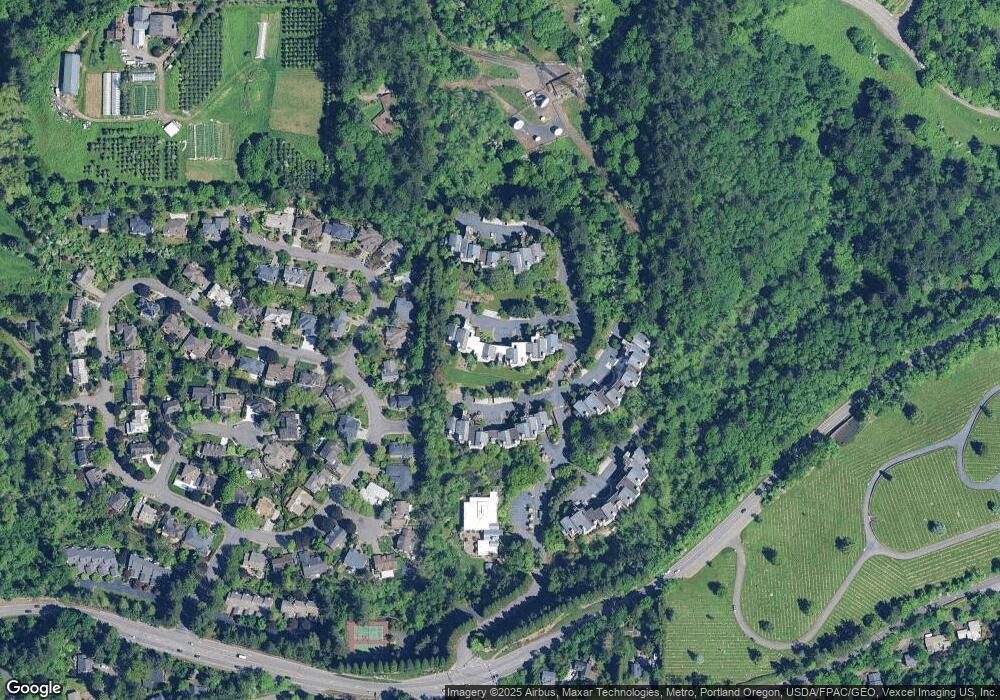
Map
Nearby Homes
- 6665 W Burnside Rd Unit 410
- 6665 W Burnside Rd Unit 447
- 6685 W Burnside St Unit 350
- 6685 W Burnside St Unit 324
- 6645 W Burnside Rd Unit 550
- 6625 W Burnside St Unit 250
- 6605 W Burnside Rd Unit 152
- 6605 W Burnside St Unit 131
- 6827 SW Windemere Loop
- 6865 SW Windemere Loop
- 262 NW Royal Blvd
- 6103 SW Salmon St
- 5912 SW Yamhill St
- 0 W Side 841 Nw Greenlea Rd Unit 24522408
- 1503 SW 61st Dr
- 5720-5724 SW Barnes Rd
- 6371 NW Winston Dr
- 955 SW Summit View Dr
- 8588 SW Summit Ct
- 0 SW Ascot Ct
- 6665 W Burnside St Unit 431
- 6665 W Burnside -Easy Show Unit 431
- 6665 W Burnside St Unit 424
- 6665 W Burnside St Unit 455
- 6665 W Burnside St Unit 454
- 6665 W Burnside St Unit 453
- 6665 W Burnside St Unit 452
- 6665 W Burnside St Unit 451
- 6665 W Burnside St Unit 450
- 6665 W Burnside St Unit 447
- 6665 W Burnside St Unit 446
- 6665 W Burnside St Unit 445
- 6665 W Burnside St Unit 444
- 6665 W Burnside St Unit 443
- 6665 W Burnside St Unit 442
- 6665 W Burnside St Unit 441
- 6665 W Burnside St Unit 440
- 6665 W Burnside St Unit 428
- 6665 W Burnside St
- 6665 W Burnside St Unit 436