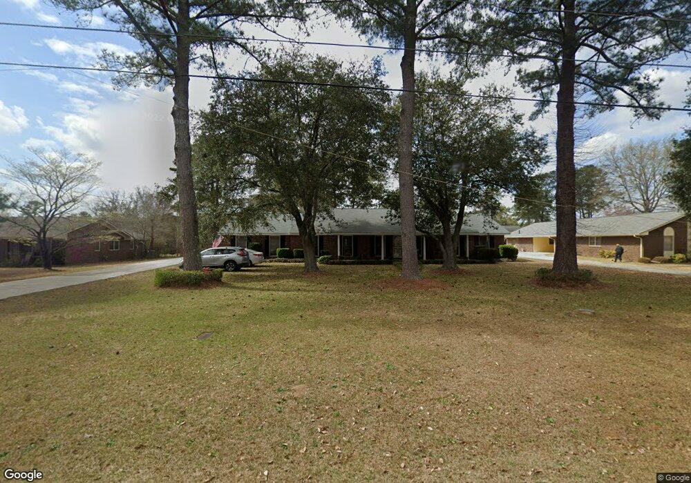
6669 Fran Dr Macon, GA 31216
Estimated Value: $234,000 - $256,000
3
Beds
2
Baths
2,230
Sq Ft
$110/Sq Ft
Est. Value
About This Home
This home is located at 6669 Fran Dr, Macon, GA 31216 and is currently estimated at $246,266, approximately $110 per square foot. 6669 Fran Dr is a home located in Bibb County with nearby schools including Heard Elementary School, Rutland Middle School, and Rutland High School.
Ownership History
Date
Name
Owned For
Owner Type
Purchase Details
Closed on
Aug 26, 2008
Sold by
Brooks John L
Bought by
Brooks John L
Current Estimated Value
Home Financials for this Owner
Home Financials are based on the most recent Mortgage that was taken out on this home.
Original Mortgage
$67,000
Interest Rate
6.48%
Mortgage Type
Purchase Money Mortgage
Purchase Details
Closed on
Dec 17, 2001
Sold by
Brooks John L Jr - Martha D
Bought by
Brooks John L
Purchase Details
Closed on
Oct 12, 1999
Bought by
Brooks John L Jr - Martha D
Create a Home Valuation Report for This Property
The Home Valuation Report is an in-depth analysis detailing your home's value as well as a comparison with similar homes in the area
Home Values in the Area
Average Home Value in this Area
Purchase History
| Date | Buyer | Sale Price | Title Company |
|---|---|---|---|
| Brooks John L | -- | -- | |
| Brooks John L | -- | -- | |
| Brooks John L Jr - Martha D | $130,000 | -- |
Source: Public Records
Mortgage History
| Date | Status | Borrower | Loan Amount |
|---|---|---|---|
| Closed | Brooks John L | $67,000 |
Source: Public Records
Tax History Compared to Growth
Tax History
| Year | Tax Paid | Tax Assessment Tax Assessment Total Assessment is a certain percentage of the fair market value that is determined by local assessors to be the total taxable value of land and additions on the property. | Land | Improvement |
|---|---|---|---|---|
| 2025 | $1,726 | $77,237 | $9,660 | $67,577 |
| 2024 | $1,784 | $77,237 | $9,660 | $67,577 |
| 2023 | $1,327 | $77,237 | $9,660 | $67,577 |
| 2022 | $2,092 | $67,435 | $8,760 | $58,675 |
| 2021 | $2,297 | $67,435 | $8,760 | $58,675 |
| 2020 | $2,346 | $67,435 | $8,760 | $58,675 |
| 2019 | $2,289 | $65,477 | $8,760 | $56,717 |
| 2018 | $3,480 | $62,049 | $8,760 | $53,289 |
| 2017 | $2,062 | $62,049 | $8,760 | $53,289 |
| 2016 | $1,965 | $63,802 | $10,512 | $53,289 |
| 2015 | $2,782 | $63,802 | $10,512 | $53,289 |
| 2014 | $2,787 | $63,802 | $10,512 | $53,289 |
Source: Public Records
Map
Nearby Homes
- 6661 Fran Dr
- 6677 Fran Dr
- 6668 Vinson Rd
- 6653 Fran Dr
- 6676 Vinson Rd
- 6660 Vinson Rd
- 6670 Fran Dr
- 6662 Fran Dr
- 3489 Liberty Church Rd
- 6685 Fran Dr
- 6684 Vinson Rd
- 6678 Fran Dr
- 6652 Vinson Rd
- 6654 Fran Dr
- 6654 Fran Dr Unit 167
- 0 Fran Dr Unit 8583468
- 0 Fran Dr Unit 9005557
- 0 Fran Dr Unit 8783456
- 0 Fran Dr Unit 3079570
- 0 Fran Dr Unit 3267804