66690 Bulhand Rd Cassopolis, MI 49031
Estimated Value: $89,360 - $221,000
Studio
--
Bath
--
Sq Ft
3.7
Acres
About This Home
This home is located at 66690 Bulhand Rd, Cassopolis, MI 49031 and is currently estimated at $152,340. 66690 Bulhand Rd is a home located in Cass County with nearby schools including Sam Adams Elementary School, Cassopolis Middle School, and Cassopolis Ross Beatty High School.
Ownership History
Date
Name
Owned For
Owner Type
Purchase Details
Closed on
Dec 16, 2004
Sold by
Eri Housing
Bought by
Biggs Elaine M
Current Estimated Value
Home Financials for this Owner
Home Financials are based on the most recent Mortgage that was taken out on this home.
Original Mortgage
$101,000
Outstanding Balance
$50,749
Interest Rate
5.78%
Estimated Equity
$101,591
Purchase Details
Closed on
Aug 24, 2004
Sold by
Biggs Elaine M
Bought by
Eri Housing
Home Financials for this Owner
Home Financials are based on the most recent Mortgage that was taken out on this home.
Original Mortgage
$2,000,000
Interest Rate
6.08%
Mortgage Type
Small Business Administration
Create a Home Valuation Report for This Property
The Home Valuation Report is an in-depth analysis detailing your home's value as well as a comparison with similar homes in the area
Purchase History
| Date | Buyer | Sale Price | Title Company |
|---|---|---|---|
| Biggs Elaine M | -- | -- | |
| Eri Housing | -- | Meridian Title Corp |
Source: Public Records
Mortgage History
| Date | Status | Borrower | Loan Amount |
|---|---|---|---|
| Open | Biggs Elaine M | $101,000 | |
| Previous Owner | Eri Housing | $2,000,000 |
Source: Public Records
Tax History
| Year | Tax Paid | Tax Assessment Tax Assessment Total Assessment is a certain percentage of the fair market value that is determined by local assessors to be the total taxable value of land and additions on the property. | Land | Improvement |
|---|---|---|---|---|
| 2025 | $470 | $29,900 | $29,900 | $0 |
| 2024 | $177 | $33,600 | $33,600 | $0 |
| 2023 | $168 | $28,200 | $0 | $0 |
| 2022 | $160 | $18,600 | $0 | $0 |
| 2021 | $412 | $23,100 | $0 | $0 |
| 2020 | $154 | $22,600 | $0 | $0 |
| 2019 | $322 | $22,700 | $0 | $0 |
| 2018 | $148 | $24,400 | $0 | $0 |
| 2017 | $145 | $16,400 | $0 | $0 |
| 2016 | $143 | $17,400 | $0 | $0 |
| 2015 | -- | $16,100 | $0 | $0 |
| 2011 | -- | $24,500 | $0 | $0 |
Source: Public Records
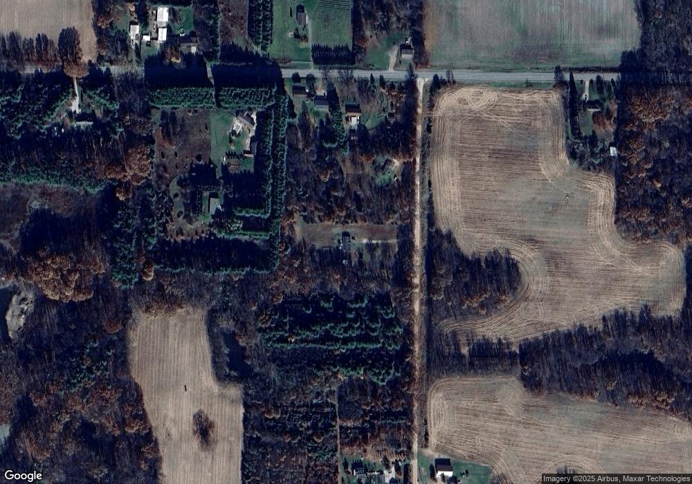
Map
Nearby Homes
- 11 Ashley Rd
- 68456 Cassopolis Rd
- 23316 N Shore Dr
- 68640 Christiana Lake Rd
- 00000 N Shore Dr
- 21932 Buffalo Ln
- 68283 Park Shore Dr
- VL Mount Zion St
- 23675 N Shore Dr
- 22160 Country Trace
- 0 Calvin Center Rd
- 65945 Calvin Center Rd
- V/L Calvin Center Rd
- 68090 Calvin Center Rd
- 68199 Sassafras St
- 23803 Evan St
- 22322 U S 12
- 22451 US Highway 12
- 68881 3rd St
- V/L U S 12
- 66590 Bulhand Rd
- 21556 Calvin Hill St
- 21635 Calvin Hill St
- 21641 Calvin Hill St
- 21583 Calvin Hill St
- 21594 Calvin Hill St
- 66869 Bulhand Rd
- 21686 Calvin Hill St
- 21413 Calvin Hill St
- 21801 Calvin Hill St
- 66850 Bulhand Rd
- 21742 Calvin Hill St
- 21638 Calvin Hill St
- 66514 N Shore Dr
- 21236 Calvin Hill St
- 67044 Bulhand Rd
- 67044 Bulhand Rd
- 67044 Bulhand Rd
- 66614 N Shore Dr
- 66614 N Shore Dr
Your Personal Tour Guide
Ask me questions while you tour the home.