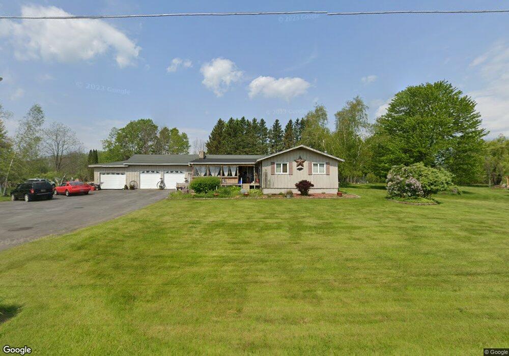
667 Lower Rd West Monroe, NY 13167
Estimated Value: $278,000 - $382,896
4
Beds
2
Baths
2,176
Sq Ft
$153/Sq Ft
Est. Value
About This Home
This home is located at 667 Lower Rd, West Monroe, NY 13167 and is currently estimated at $332,974, approximately $153 per square foot. 667 Lower Rd is a home located in Oswego County with nearby schools including Paul V. Moore High School.
Ownership History
Date
Name
Owned For
Owner Type
Purchase Details
Closed on
Jun 14, 2004
Sold by
Scrimale James J
Bought by
Kenney Jay S
Current Estimated Value
Purchase Details
Closed on
Oct 2, 2000
Sold by
Hoyt Paul F
Bought by
Scrimale James J
Create a Home Valuation Report for This Property
The Home Valuation Report is an in-depth analysis detailing your home's value as well as a comparison with similar homes in the area
Home Values in the Area
Average Home Value in this Area
Purchase History
| Date | Buyer | Sale Price | Title Company |
|---|---|---|---|
| Kenney Jay S | $133,000 | Mark Farchione | |
| Scrimale James J | $91,900 | Stanley R. Germain |
Source: Public Records
Mortgage History
| Date | Status | Borrower | Loan Amount |
|---|---|---|---|
| Open | Kenney Jay S | $54,300 |
Source: Public Records
Tax History Compared to Growth
Tax History
| Year | Tax Paid | Tax Assessment Tax Assessment Total Assessment is a certain percentage of the fair market value that is determined by local assessors to be the total taxable value of land and additions on the property. | Land | Improvement |
|---|---|---|---|---|
| 2024 | $6,215 | $288,800 | $40,600 | $248,200 |
| 2023 | $5,601 | $249,000 | $35,000 | $214,000 |
| 2022 | $6,194 | $220,000 | $35,000 | $185,000 |
| 2021 | $6,015 | $190,000 | $35,000 | $155,000 |
| 2020 | $4,947 | $190,000 | $35,000 | $155,000 |
| 2019 | $4,893 | $190,000 | $35,000 | $155,000 |
| 2018 | $4,893 | $190,000 | $35,200 | $154,800 |
| 2017 | $4,839 | $190,000 | $35,200 | $154,800 |
| 2016 | $4,924 | $190,000 | $35,200 | $154,800 |
| 2015 | -- | $184,500 | $26,700 | $157,800 |
| 2014 | -- | $6,212 | $800 | $5,412 |
Source: Public Records
Map
Nearby Homes
- 37 Depot Rd
- 2334 State Route 49
- 2337 State Route 49 Unit 43
- 19 Whig Hill Rd
- 94 Avery Rd
- 2 Monroe Blvd
- 356 Lower Rd
- 143 Toad Harbor Rd
- 388 County Route 11
- 0 Cr-26 Unit S1632231
- 2800 State Route 49
- 0 Slosson Rd
- 160 Dutch Rd
- 11 28th St
- 0 County Route 37 Unit S1629157
- 0 County Route 37 Unit S1629156
- 543 County Route 11
- 734 County Route 23
- 15 Parker Rd
- Slosson Rd
- 687 Lower Rd
- 688 Lower Rd
- 649 Lower Rd
- 693 Lower Rd
- 643 Lower Rd
- 639 Lower Rd
- 2241 State Route 49
- 696 Lower Rd
- 628 Lower Rd
- 633 Lower Rd
- 2251 State Route 49
- 2250 State Route 49
- 618 Lower Rd
- 2260 State Route 49
- 78 Lower Rd
- 2183 State Route 49
- 2274 State Route 49
- 35 Depot Rd
- 596 Lower Rd
- 2177 State Route 49