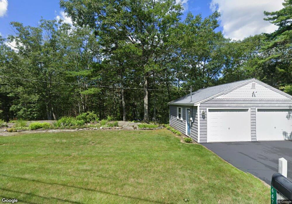
667 Main Rd Westport Island, ME 04578
Estimated Value: $949,000 - $1,147,000
3
Beds
3
Baths
5,906
Sq Ft
$177/Sq Ft
Est. Value
About This Home
This home is located at 667 Main Rd, Westport Island, ME 04578 and is currently estimated at $1,048,023, approximately $177 per square foot. 667 Main Rd is a home located in Lincoln County.
Ownership History
Date
Name
Owned For
Owner Type
Purchase Details
Closed on
Jun 28, 2005
Sold by
Flavin John T and Flavin Mary A
Bought by
Coventry Richard B and Coventry Mary A
Current Estimated Value
Home Financials for this Owner
Home Financials are based on the most recent Mortgage that was taken out on this home.
Original Mortgage
$325,000
Outstanding Balance
$83,028
Interest Rate
5.82%
Mortgage Type
Commercial
Estimated Equity
$964,995
Create a Home Valuation Report for This Property
The Home Valuation Report is an in-depth analysis detailing your home's value as well as a comparison with similar homes in the area
Home Values in the Area
Average Home Value in this Area
Purchase History
| Date | Buyer | Sale Price | Title Company |
|---|---|---|---|
| Coventry Richard B | -- | -- | |
| Coventry Richard B | -- | -- | |
| Coventry Richard B | -- | -- |
Source: Public Records
Mortgage History
| Date | Status | Borrower | Loan Amount |
|---|---|---|---|
| Open | Coventry Richard B | $325,000 | |
| Closed | Coventry Richard B | $325,000 |
Source: Public Records
Tax History Compared to Growth
Tax History
| Year | Tax Paid | Tax Assessment Tax Assessment Total Assessment is a certain percentage of the fair market value that is determined by local assessors to be the total taxable value of land and additions on the property. | Land | Improvement |
|---|---|---|---|---|
| 2024 | $6,150 | $831,143 | $323,300 | $507,843 |
| 2023 | $5,406 | $825,304 | $317,461 | $507,843 |
| 2022 | $5,615 | $676,479 | $260,214 | $416,265 |
| 2021 | $5,344 | $676,479 | $260,214 | $416,265 |
| 2020 | $5,479 | $676,479 | $260,214 | $416,265 |
| 2019 | $5,053 | $676,479 | $260,214 | $416,265 |
| 2018 | $4,465 | $676,479 | $260,214 | $416,265 |
| 2016 | $5,871 | $0 | $0 | $0 |
| 2014 | $5,871 | $781,817 | $0 | $0 |
| 2013 | $6,059 | $781,817 | $336,870 | $444,947 |
Source: Public Records
Map
Nearby Homes
- 13 Porcupine Ln
- 0 Maine 144
- 15 Lewis Dr
- 30 Taylor Rd
- 19 Riverside Ave
- 44 Stone Point Ln
- 27 Doggett Rd
- 17 Lester Rd
- 2 Ready Point Rd
- M4 L12.30B McCarty Cove Rd
- 18 High Head Rd
- 712 Back River Rd
- 50 Bunchberry Ln
- 34 Bunchberry Ln
- Lot 1 Sanders Rd
- 23 Sunny Acres Ln
- 4 Fawn Meadow Dr
- Lot 4 Fawn Meadow Dr
- 576 Back River Rd
- Lot 7 Moose Way