667 River Rd Eliot, ME 03903
South Eliot NeighborhoodEstimated Value: $605,000 - $757,000
3
Beds
2
Baths
1,946
Sq Ft
$362/Sq Ft
Est. Value
About This Home
This home is located at 667 River Rd, Eliot, ME 03903 and is currently estimated at $704,668, approximately $362 per square foot. 667 River Rd is a home located in York County with nearby schools including Marshwood High School and Seacoast Waldorf School.
Create a Home Valuation Report for This Property
The Home Valuation Report is an in-depth analysis detailing your home's value as well as a comparison with similar homes in the area
Home Values in the Area
Average Home Value in this Area
Tax History
| Year | Tax Paid | Tax Assessment Tax Assessment Total Assessment is a certain percentage of the fair market value that is determined by local assessors to be the total taxable value of land and additions on the property. | Land | Improvement |
|---|---|---|---|---|
| 2024 | $7,711 | $650,700 | $412,000 | $238,700 |
| 2023 | $7,768 | $634,100 | $406,100 | $228,000 |
| 2022 | $7,541 | $623,200 | $406,100 | $217,100 |
| 2021 | $8,053 | $620,300 | $406,100 | $214,200 |
| 2020 | $8,421 | $597,600 | $406,100 | $191,500 |
| 2019 | $8,785 | $597,600 | $406,100 | $191,500 |
| 2018 | $8,785 | $597,600 | $406,100 | $191,500 |
| 2017 | $8,546 | $597,600 | $406,100 | $191,500 |
| 2016 | $8,396 | $597,600 | $406,100 | $191,500 |
| 2015 | $8,366 | $597,600 | $406,100 | $191,500 |
| 2014 | $8,247 | $597,600 | $406,100 | $191,500 |
| 2013 | $7,870 | $597,600 | $406,100 | $191,500 |
Source: Public Records
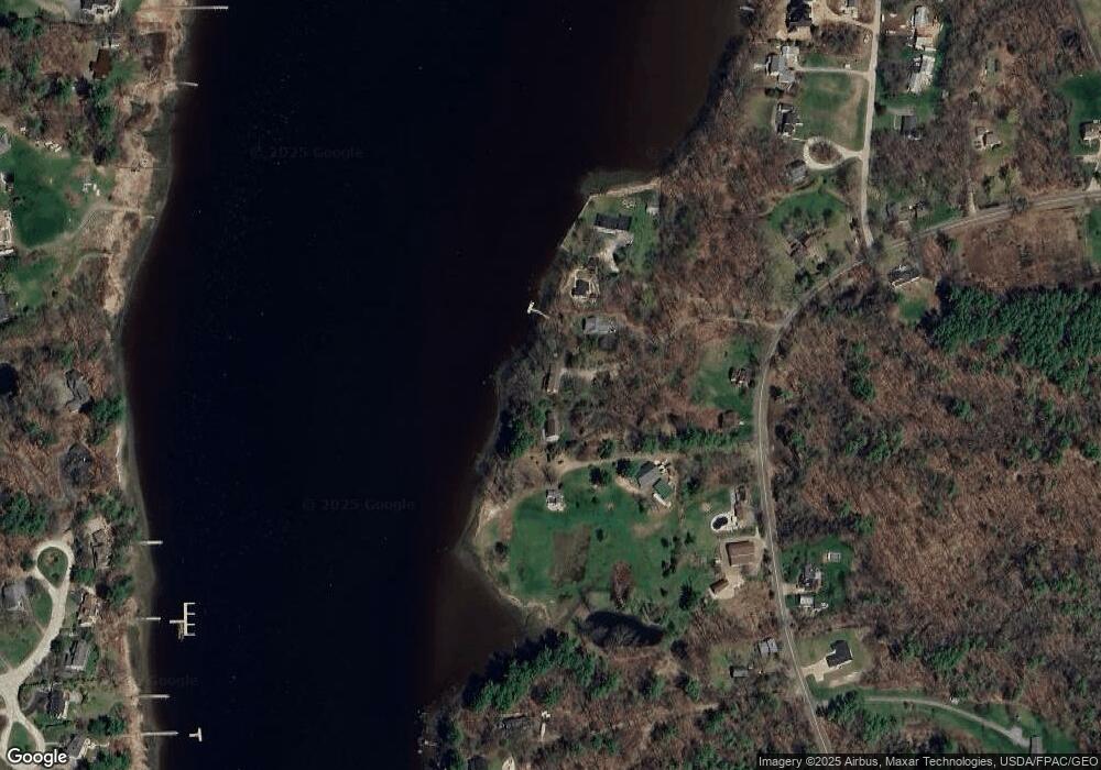
Map
Nearby Homes
- 220 Dover Point Rd
- 11 Ayers Ln
- 25 Fosters Dr
- Slip B18 Little Bay
- 21 Clearwater Dr
- 18 Deborah Ln
- 41 Clearwater Dr
- 0 Cote Dr Unit 55B
- 65 Polly Ann Trailer Park
- 69 Polly Ann Trailer Park
- 348 Dover Point Rd
- 354 Dover Point Rd
- 25 Heritage Dr
- 6 Isaac Lucas Cir
- 16 Polly Ann Park
- 116 Heron Cove Rd
- 28 Little Bay Dr
- 30 Cedar Point Rd
- 33 Little Bay Dr
- 13 Little Bay Dr
Your Personal Tour Guide
Ask me questions while you tour the home.