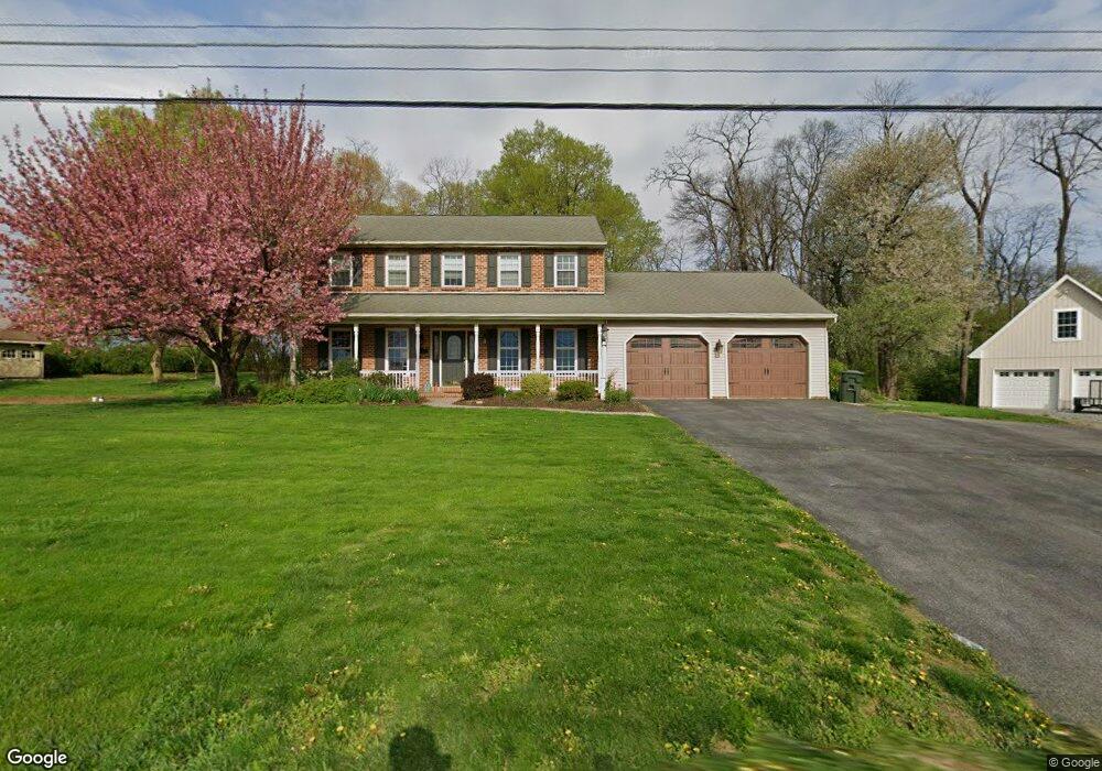
667 Wide Hollow Rd East Earl, PA 17519
Estimated Value: $488,000 - $543,000
3
Beds
3
Baths
1,960
Sq Ft
$260/Sq Ft
Est. Value
About This Home
This home is located at 667 Wide Hollow Rd, East Earl, PA 17519 and is currently estimated at $509,304, approximately $259 per square foot. 667 Wide Hollow Rd is a home located in Lancaster County with nearby schools including Garden Spot Middle School, Garden Spot Senior High School, and Muddy Creek Christian School.
Ownership History
Date
Name
Owned For
Owner Type
Purchase Details
Closed on
Jul 20, 2020
Sold by
Eby John H and Eby Karen I
Bought by
Denlinger Abram P and Denlinger Katherine E
Current Estimated Value
Home Financials for this Owner
Home Financials are based on the most recent Mortgage that was taken out on this home.
Original Mortgage
$272,000
Outstanding Balance
$241,192
Interest Rate
3.1%
Mortgage Type
New Conventional
Estimated Equity
$268,112
Purchase Details
Closed on
Apr 24, 1995
Bought by
Eby John H and Eby Karen I
Create a Home Valuation Report for This Property
The Home Valuation Report is an in-depth analysis detailing your home's value as well as a comparison with similar homes in the area
Home Values in the Area
Average Home Value in this Area
Purchase History
| Date | Buyer | Sale Price | Title Company |
|---|---|---|---|
| Denlinger Abram P | $340,000 | Realty Settlement Svc Inc | |
| Eby John H | $59,900 | -- |
Source: Public Records
Mortgage History
| Date | Status | Borrower | Loan Amount |
|---|---|---|---|
| Open | Denlinger Abram P | $272,000 |
Source: Public Records
Tax History Compared to Growth
Tax History
| Year | Tax Paid | Tax Assessment Tax Assessment Total Assessment is a certain percentage of the fair market value that is determined by local assessors to be the total taxable value of land and additions on the property. | Land | Improvement |
|---|---|---|---|---|
| 2025 | $5,178 | $289,100 | $79,600 | $209,500 |
| 2024 | $5,178 | $289,100 | $79,600 | $209,500 |
| 2023 | $4,556 | $258,100 | $79,600 | $178,500 |
| 2022 | $4,507 | $258,100 | $79,600 | $178,500 |
| 2021 | $4,435 | $258,100 | $79,600 | $178,500 |
| 2020 | $4,435 | $258,100 | $79,600 | $178,500 |
| 2019 | $4,387 | $258,100 | $79,600 | $178,500 |
| 2018 | $5,161 | $258,100 | $79,600 | $178,500 |
| 2017 | $4,094 | $196,600 | $49,800 | $146,800 |
| 2016 | $4,094 | $196,600 | $49,800 | $146,800 |
| 2015 | $1,137 | $196,600 | $49,800 | $146,800 |
| 2014 | $2,769 | $196,600 | $49,800 | $146,800 |
Source: Public Records
Map
Nearby Homes
- 575 Red Run Rd
- 61 Gentle Dr
- 133 Millstone Dr
- 232 New St
- 111 Oatfield Dr
- 420 Linden St
- 412 Linden St
- 200 E Main St
- 205 E Main St
- 117 Hawk Valley Ln Unit 105
- 101 Hawk Valley Ln
- Westbrooke Plan at Hawk Valley Estates
- Callahan Plan at Hawk Valley Estates
- Silverbrooke Plan at Hawk Valley Estates
- Wesley Plan at Hawk Valley Estates
- Bridgemont Plan at Hawk Valley Estates
- Logan Plan at Hawk Valley Estates
- Brookfield Plan at Hawk Valley Estates
- Kingston Plan at Hawk Valley Estates
- Berkley Plan at Hawk Valley Estates
- 663 Wide Hollow Rd
- 681 Wide Hollow Rd
- 664 Wide Hollow Rd
- 658 Wide Hollow Rd
- 655 Wide Hollow Rd
- 619 Red Run Rd
- 696 Wide Hollow Rd
- 0 Red Run Rd Unit 12 1004703915
- 0 Red Run Rd Unit 12 1004703887
- 0 Red Run Rd Unit 12 1004703459
- 0 Red Run Rd Unit 4 1004576781
- 0 Red Run Rd Unit 11 1004541159
- 0 Red Run Rd Unit 12 1004511687
- 0 Red Run Rd Unit 149646
- 0 Red Run Rd Unit 141674
- 0 Red Run Rd Unit 142053
- 0 Red Run Rd Unit 142054
- 0 Red Run Rd Unit 174148
- 0 Red Run Rd Unit 187261
- 0 Red Run Rd Unit 190561