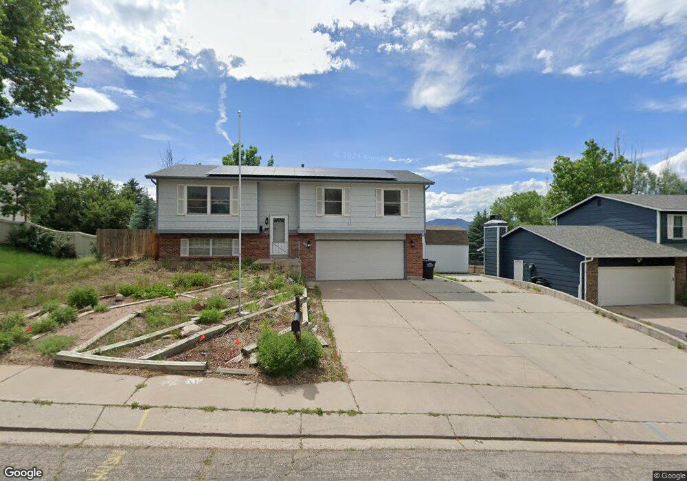
6670 Buffalo Dr Colorado Springs, CO 80918
Norwood NeighborhoodEstimated Value: $422,000 - $445,000
3
Beds
1
Bath
1,668
Sq Ft
$260/Sq Ft
Est. Value
About This Home
This home is located at 6670 Buffalo Dr, Colorado Springs, CO 80918 and is currently estimated at $433,753, approximately $260 per square foot. 6670 Buffalo Dr is a home located in El Paso County with nearby schools including King Elementary School, Russell Middle School, and Doherty High School.
Ownership History
Date
Name
Owned For
Owner Type
Purchase Details
Closed on
Dec 6, 2021
Sold by
Perea Melinda
Bought by
Reyna Vincent and Hawkins Kathleen
Current Estimated Value
Home Financials for this Owner
Home Financials are based on the most recent Mortgage that was taken out on this home.
Original Mortgage
$409,200
Outstanding Balance
$376,256
Interest Rate
3.09%
Mortgage Type
VA
Estimated Equity
$57,497
Purchase Details
Closed on
May 29, 2012
Sold by
Encizo Mcguire Living Trust
Bought by
Perea Melinda
Home Financials for this Owner
Home Financials are based on the most recent Mortgage that was taken out on this home.
Original Mortgage
$160,075
Interest Rate
3.93%
Mortgage Type
New Conventional
Purchase Details
Closed on
Nov 16, 2011
Sold by
Mcguire K J and Mcguire Madeline A
Bought by
Mcguire K J and Mcguire Madeline A
Purchase Details
Closed on
Jul 1, 1981
Bought by
Perea Melinda
Create a Home Valuation Report for This Property
The Home Valuation Report is an in-depth analysis detailing your home's value as well as a comparison with similar homes in the area
Home Values in the Area
Average Home Value in this Area
Purchase History
| Date | Buyer | Sale Price | Title Company |
|---|---|---|---|
| Reyna Vincent | $400,000 | Unified Title Co | |
| Perea Melinda | $168,500 | Empire Title Of Co Springs | |
| Mcguire K J | -- | None Available | |
| Perea Melinda | -- | -- |
Source: Public Records
Mortgage History
| Date | Status | Borrower | Loan Amount |
|---|---|---|---|
| Open | Reyna Vincent | $409,200 | |
| Previous Owner | Perea Melinda | $160,075 |
Source: Public Records
Tax History Compared to Growth
Tax History
| Year | Tax Paid | Tax Assessment Tax Assessment Total Assessment is a certain percentage of the fair market value that is determined by local assessors to be the total taxable value of land and additions on the property. | Land | Improvement |
|---|---|---|---|---|
| 2025 | $1,352 | $29,110 | -- | -- |
| 2024 | $1,239 | $28,740 | $5,700 | $23,040 |
| 2022 | $1,172 | $20,950 | $5,060 | $15,890 |
| 2021 | $1,272 | $21,560 | $5,210 | $16,350 |
| 2020 | $1,271 | $18,730 | $4,530 | $14,200 |
| 2019 | $1,264 | $18,730 | $4,530 | $14,200 |
| 2018 | $1,164 | $15,860 | $3,810 | $12,050 |
| 2017 | $1,102 | $15,860 | $3,810 | $12,050 |
| 2016 | $876 | $15,110 | $3,940 | $11,170 |
| 2015 | $873 | $15,110 | $3,940 | $11,170 |
| 2014 | $826 | $13,730 | $3,890 | $9,840 |
Source: Public Records
Map
Nearby Homes
- 2842 Deliverance Dr
- 6815 Woodgate Ct
- 6835 Woodgate Ct
- 2970 Banjo Dr
- 3245 Chestnut Glen Ln
- 3305 Chestnut Glen Ln
- 3320 Chestnut Glen Ln
- 3315 Chestnut Glen Ln
- 3157 Hearthridge Cir
- 3273 Hearthridge Cir Unit 102
- 6525 Montarbor Dr
- 2940 Purgatory Dr
- 2860 Purgatory Dr
- 2840 Purgatory Dr
- 3219 Hearthridge Cir Unit 1003
- 6590 Stonehedge Dr
- 2650 Canton Ln
- 7104 Lilac Place
- 6945 Nettlewood Place
- 2635 Canton Ln
- 6660 Buffalo Dr
- 2920 Reuben Dr
- 2910 Reuben Dr
- 6675 Buffalo Dr
- 2930 Reuben Dr
- 6640 Buffalo Dr
- 6665 Buffalo Dr
- 6695 Buffalo Dr
- 6645 Buffalo Dr
- 2908 Deliverance Dr
- 2918 Deliverance Dr
- 6630 Buffalo Dr
- 6670 Bugle Dr
- 2915 Reuben Dr
- 2905 Reuben Dr
- 2902 Deliverance Dr
- 6660 Bugle Dr
- 2928 Deliverance Dr
- 2925 Reuben Dr
- 6635 Buffalo Dr