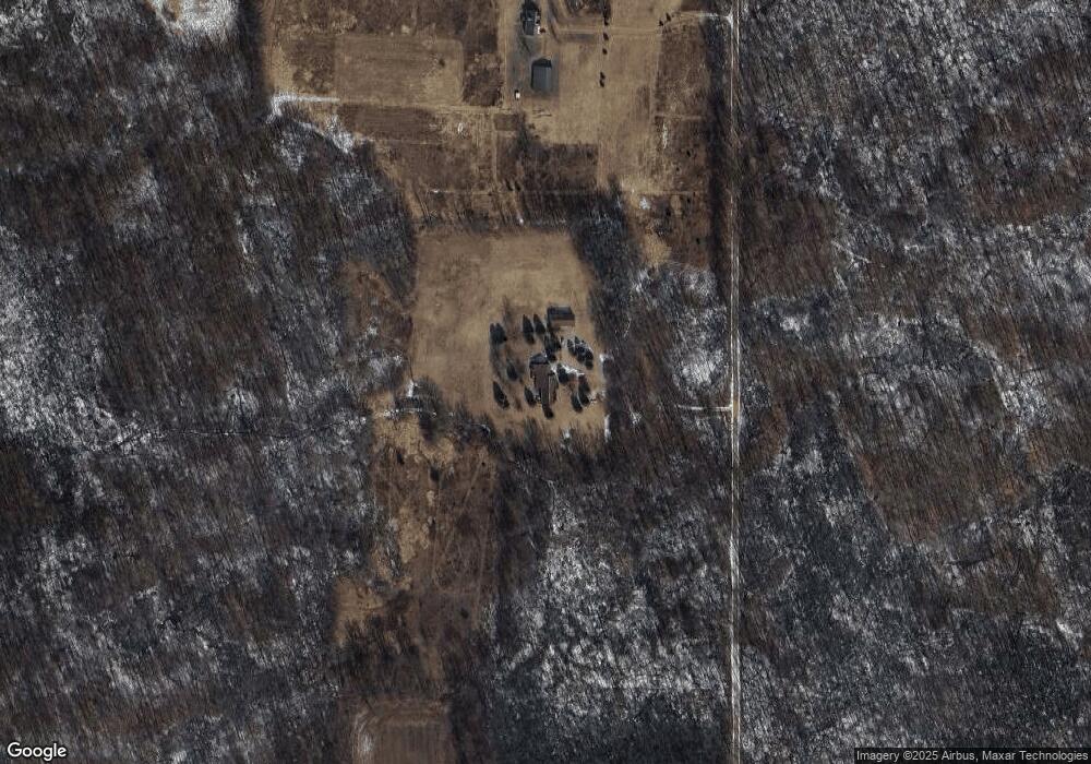
6670 Denning Rd North Adams, MI 49262
Estimated Value: $561,000 - $1,040,000
--
Bed
2
Baths
2,772
Sq Ft
$261/Sq Ft
Est. Value
About This Home
This home is located at 6670 Denning Rd, North Adams, MI 49262 and is currently estimated at $724,724, approximately $261 per square foot. 6670 Denning Rd is a home located in Hillsdale County with nearby schools including North Adams-Jerome Elementary School and North Adams-Jerome Middle/High School.
Ownership History
Date
Name
Owned For
Owner Type
Purchase Details
Closed on
Dec 5, 2024
Sold by
Second Amendment And Restatement Of Trus and Mackie Jonathan
Bought by
Cortright Tyler and Cortright Maycee
Current Estimated Value
Home Financials for this Owner
Home Financials are based on the most recent Mortgage that was taken out on this home.
Original Mortgage
$476,000
Outstanding Balance
$472,256
Interest Rate
6.79%
Mortgage Type
New Conventional
Estimated Equity
$252,468
Purchase Details
Closed on
Dec 14, 2009
Sold by
Grant Jeffrey W and Grant Susan C
Bought by
Second Amendment & Restatement Of Trust and Sakai George
Home Financials for this Owner
Home Financials are based on the most recent Mortgage that was taken out on this home.
Original Mortgage
$116,000
Interest Rate
5.02%
Mortgage Type
Future Advance Clause Open End Mortgage
Create a Home Valuation Report for This Property
The Home Valuation Report is an in-depth analysis detailing your home's value as well as a comparison with similar homes in the area
Home Values in the Area
Average Home Value in this Area
Purchase History
| Date | Buyer | Sale Price | Title Company |
|---|---|---|---|
| Cortright Tyler | $560,000 | Elevate Title | |
| Second Amendment & Restatement Of Trust | $428,000 | None Available |
Source: Public Records
Mortgage History
| Date | Status | Borrower | Loan Amount |
|---|---|---|---|
| Open | Cortright Tyler | $476,000 | |
| Previous Owner | Second Amendment & Restatement Of Trust | $116,000 |
Source: Public Records
Tax History Compared to Growth
Tax History
| Year | Tax Paid | Tax Assessment Tax Assessment Total Assessment is a certain percentage of the fair market value that is determined by local assessors to be the total taxable value of land and additions on the property. | Land | Improvement |
|---|---|---|---|---|
| 2025 | $4,073 | $365,400 | $0 | $0 |
| 2024 | $2,085 | $344,100 | $0 | $0 |
| 2023 | $1,986 | $283,700 | $0 | $0 |
| 2022 | $3,709 | $257,100 | $0 | $0 |
| 2021 | $3,602 | $265,800 | $0 | $0 |
| 2020 | $3,578 | $265,000 | $0 | $0 |
| 2019 | $3,575 | $254,400 | $0 | $0 |
| 2018 | $3,397 | $231,100 | $0 | $0 |
| 2017 | $3,280 | $227,700 | $0 | $0 |
| 2016 | $3,253 | $178,100 | $0 | $0 |
| 2015 | $1,673 | $178,100 | $0 | $0 |
| 2013 | -- | $147,930 | $0 | $0 |
| 2012 | $1,753 | $160,000 | $0 | $0 |
Source: Public Records
Map
Nearby Homes
- 6333 Brown Rd
- 5160 Barker Rd
- 0 Moscow Rd
- 0 Combs Rd
- 5435 State Rd
- 4219 Kim Dr
- 8470 Moscow Rd
- 3189 N Lake Pleasant Rd
- 5560 Dewey Rd
- 2331 Slater Rd
- 6838 Moreland Rd
- 7751 Moreland Rd
- 4794 Keith Rd
- 4745 Keith Rd
- 4545 State Rd
- 9159-D Moreland Rd
- 0 Oakridge Dr
- 9159 Moreland Rd
- 9240 Moreland Rd
- V/L Half Moon Lake Rd
- 6670 Denning Rd
- 5835 Denning Rd
- 5840 Denning Rd
- 5831 Denning Rd
- 6870 Denning Rd
- 6151 Addison Rd
- 5631 Denning Rd
- 5631 Denning Rd
- 0 Addison Rd Unit 4703829
- 0 Addison Rd Unit 4743428
- 0 Addison Rd Unit 15025219
- 0 Addison Rd Unit 201600014
- 0 Addison Rd Unit 16000027
- 0 Addison Rd Unit M21039029
- 6100 Addison Rd
- 6191 Addison Rd
- 5500 Denning Rd
- 5665 Addison Rd
- 5788 Knowles Rd
- 6240 Dennings Rd
