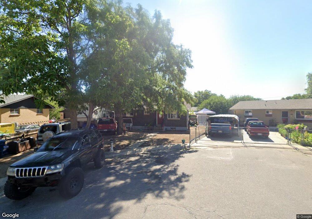
6670 Doris Ct Commerce City, CO 80022
Kemp NeighborhoodEstimated Value: $324,519 - $390,000
3
Beds
1
Bath
864
Sq Ft
$408/Sq Ft
Est. Value
About This Home
This home is located at 6670 Doris Ct, Commerce City, CO 80022 and is currently estimated at $352,130, approximately $407 per square foot. 6670 Doris Ct is a home located in Adams County with nearby schools including Kemp Elementary School, Kearney Middle School, and Adams City High School.
Ownership History
Date
Name
Owned For
Owner Type
Purchase Details
Closed on
Dec 27, 2017
Sold by
Mccarrick Jess M
Bought by
Mccarrick Jamie S
Current Estimated Value
Purchase Details
Closed on
Aug 11, 2003
Sold by
Shipman Kevin Arley
Bought by
Mccarrick Geneva H
Purchase Details
Closed on
Aug 23, 2001
Sold by
Mccarrick Geneva Hope
Bought by
Mccarrick Jess Michael and Mccarrick Jamie Sue
Purchase Details
Closed on
May 14, 1998
Sold by
Mccarrick Geneva Hope
Bought by
Mccarrick Jess Michael
Create a Home Valuation Report for This Property
The Home Valuation Report is an in-depth analysis detailing your home's value as well as a comparison with similar homes in the area
Home Values in the Area
Average Home Value in this Area
Purchase History
| Date | Buyer | Sale Price | Title Company |
|---|---|---|---|
| Mccarrick Jamie S | -- | None Available | |
| Mccarrick Geneva H | -- | -- | |
| Mccarrick Jess Michael | -- | -- | |
| Mccarrick Jess Michael | -- | -- | |
| Mccarrick Jamie Sue | -- | -- |
Source: Public Records
Tax History
| Year | Tax Paid | Tax Assessment Tax Assessment Total Assessment is a certain percentage of the fair market value that is determined by local assessors to be the total taxable value of land and additions on the property. | Land | Improvement |
|---|---|---|---|---|
| 2025 | $1,298 | $22,640 | $5,780 | $16,860 |
| 2024 | $1,298 | $20,810 | $5,310 | $15,500 |
| 2023 | $1,142 | $23,610 | $5,750 | $17,860 |
| 2022 | $1,080 | $18,970 | $5,770 | $13,200 |
| 2021 | $1,095 | $18,970 | $5,770 | $13,200 |
| 2020 | $789 | $15,910 | $5,010 | $10,900 |
| 2019 | $788 | $15,910 | $5,010 | $10,900 |
| 2018 | $491 | $10,650 | $4,460 | $6,190 |
| 2017 | $466 | $10,650 | $4,460 | $6,190 |
| 2016 | $488 | $10,760 | $2,710 | $8,050 |
| 2015 | $995 | $10,760 | $2,710 | $8,050 |
| 2014 | -- | $8,260 | $1,830 | $6,430 |
Source: Public Records
Map
Nearby Homes
- 6625 Locust St
- 6721 Leyden St
- 6540 Poplar St
- 6502 E 62nd Way
- 6813 Locust St Unit 6813/6815
- 6780 Bax Ct
- 6493 E 62nd Ave
- 5391 E 63rd Place
- 6170 Oneida St
- 5681 Demott Ave
- 6312 Kearney St
- 5651 E 62nd Ave Unit 1
- 6721 E 61st Ave
- 6322 Ivanhoe St
- 6195 E 61st Ave
- 5971 E 69th Ave
- 5971 E 69th Ave Unit 21
- 6601 E 71st Ave
- 6081 E 61st Ave
- 5441 E 67th Place
- 6680 Doris Ct
- 6660 Doris Ct
- 6581 Niagara St
- 6680 E 66th Ave
- 6650 Doris Ct
- 6690 Doris Ct
- 6571 Niagara St
- 6640 Doris Ct
- 6561 Niagara St
- 6690 E 66th Ave
- 6691 Doris Ct
- 6630 Doris Ct
- 6551 Niagara St
- 6601 Niagara St
- 6620 Doris Ct
- 6541 Niagara St
- 6595 E 65th Place
- 6600 Doris Ct
- 6591 E 65th Place
- 6596 Niagara St
Your Personal Tour Guide
Ask me questions while you tour the home.