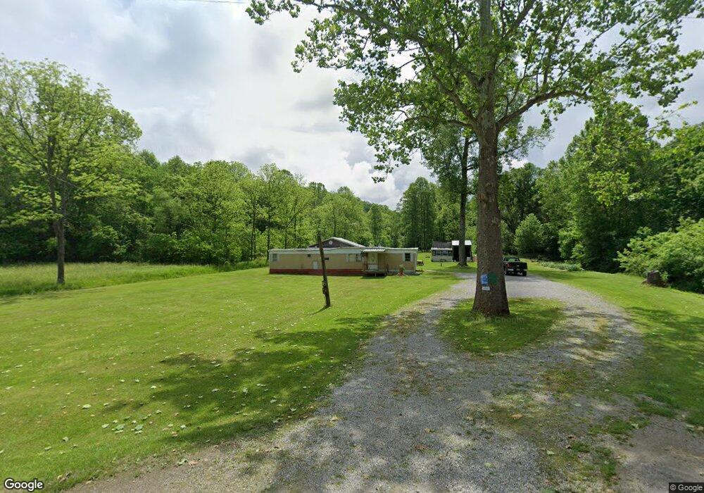
6670 Ferneau Rd Bainbridge, OH 45612
Estimated Value: $63,332 - $328,000
--
Bed
--
Bath
--
Sq Ft
2.61
Acres
About This Home
This home is located at 6670 Ferneau Rd, Bainbridge, OH 45612 and is currently estimated at $196,111. 6670 Ferneau Rd is a home located in Highland County with nearby schools including McClain High School.
Ownership History
Date
Name
Owned For
Owner Type
Purchase Details
Closed on
Aug 6, 2010
Sold by
Simmons Bill R
Bought by
Simmons Bill R
Current Estimated Value
Purchase Details
Closed on
Aug 7, 1996
Sold by
Mccoy Sandra D
Bought by
Simmons Bill R
Home Financials for this Owner
Home Financials are based on the most recent Mortgage that was taken out on this home.
Original Mortgage
$14,400
Interest Rate
8.33%
Mortgage Type
New Conventional
Purchase Details
Closed on
Mar 23, 1994
Sold by
Stratton John A and Stratton Thelma
Bought by
Knisley John D and Knisley Tracey
Purchase Details
Closed on
Jan 1, 1990
Bought by
Stratton John A and Stratton Thelma
Create a Home Valuation Report for This Property
The Home Valuation Report is an in-depth analysis detailing your home's value as well as a comparison with similar homes in the area
Home Values in the Area
Average Home Value in this Area
Purchase History
| Date | Buyer | Sale Price | Title Company |
|---|---|---|---|
| Simmons Bill R | -- | Attorney | |
| Simmons Bill R | $18,000 | -- | |
| Knisley John D | $75,000 | -- | |
| Stratton John A | -- | -- |
Source: Public Records
Mortgage History
| Date | Status | Borrower | Loan Amount |
|---|---|---|---|
| Closed | Simmons Bill R | $14,400 |
Source: Public Records
Tax History Compared to Growth
Tax History
| Year | Tax Paid | Tax Assessment Tax Assessment Total Assessment is a certain percentage of the fair market value that is determined by local assessors to be the total taxable value of land and additions on the property. | Land | Improvement |
|---|---|---|---|---|
| 2024 | $455 | $14,670 | $11,380 | $3,290 |
| 2023 | $455 | $13,230 | $9,800 | $3,430 |
| 2022 | $453 | $13,230 | $9,800 | $3,430 |
| 2021 | $431 | $13,230 | $9,800 | $3,430 |
| 2020 | $370 | $11,030 | $8,160 | $2,870 |
| 2019 | $375 | $11,030 | $8,160 | $2,870 |
| 2018 | $378 | $11,030 | $8,160 | $2,870 |
| 2017 | $364 | $10,580 | $7,740 | $2,840 |
| 2016 | $365 | $10,580 | $7,740 | $2,840 |
| 2015 | $190 | $10,580 | $7,740 | $2,840 |
| 2014 | -- | $10,050 | $7,350 | $2,700 |
| 2013 | $191 | $10,050 | $7,350 | $2,700 |
Source: Public Records
Map
Nearby Homes
- 61 Maple Dr
- 355 Maple Dr
- 0 Maple Dr Unit 1841507
- 14703 Brier Rd
- 12977 U S 50
- 6838 McCoppin Mill Rd
- 7724 Cave Rd
- 6935 Laura Blvd
- 0.459ac Lakefront Dr
- 0 Martha Dr Unit 1857951
- 7094 Cedar Trail
- 11850 Maple Trail
- 6749 Loch Lomond Cir
- 11515 Dundee Dr
- 1646 Bell Hollow Rd
- 5283 Drybone Rd
- 7069 Forest Cove Cir
- 6949 Highland Trail W Unit TLW
- 11245 Karnes Rd
- acres +- N Beach Rd
- 6696 Ferneau Rd
- 6640 Ferneau Rd
- 6640 Ferneau Rd
- 6615 Ferneau Rd
- 6641 Ferneau Rd
- 6641 Ferneau Rd
- 6486 Ferneau Rd
- 6460 Ferneau Rd
- 13772 Barrett Mill Rd
- 14253 Barrett Mill Rd
- 13654 Barrett Mill Rd
- 6911 Cave Rd
- 6410 Ferneau Rd
- 13988 Barrett Mill Rd
- 6920 Cave Rd
- 13605 Barrett Mill Rd
- 6929 Cave Rd
- 14039 Brier Rd
- 6450 Ferneau Rd
- 14039 Brier Rd