6670 N Wrightstown Rd Glouster, OH 45732
Estimated Value: $161,000 - $255,000
2
Beds
1
Bath
1,420
Sq Ft
$142/Sq Ft
Est. Value
About This Home
This home is located at 6670 N Wrightstown Rd, Glouster, OH 45732 and is currently estimated at $201,648, approximately $142 per square foot. 6670 N Wrightstown Rd is a home located in Morgan County with nearby schools including Morgan High School.
Ownership History
Date
Name
Owned For
Owner Type
Purchase Details
Closed on
Aug 21, 2009
Sold by
Syfert Michael B and Syfert Jerri L
Bought by
Hooper Katie J and Mcgee George D
Current Estimated Value
Home Financials for this Owner
Home Financials are based on the most recent Mortgage that was taken out on this home.
Original Mortgage
$50,400
Outstanding Balance
$32,928
Interest Rate
5.25%
Mortgage Type
Adjustable Rate Mortgage/ARM
Estimated Equity
$168,720
Purchase Details
Closed on
Apr 7, 2003
Sold by
Syfert Thomas I and Syfert Lilla A
Bought by
Syfert Michael B and Syfert Jerri L
Purchase Details
Closed on
Aug 12, 1992
Sold by
Syfert Thomas I and Syfert Lilla A
Bought by
Syfert Thomas I and Syfert Lilla A
Create a Home Valuation Report for This Property
The Home Valuation Report is an in-depth analysis detailing your home's value as well as a comparison with similar homes in the area
Purchase History
| Date | Buyer | Sale Price | Title Company |
|---|---|---|---|
| Hooper Katie J | $63,000 | None Available | |
| Syfert Michael B | -- | -- | |
| Syfert Thomas I | -- | -- |
Source: Public Records
Mortgage History
| Date | Status | Borrower | Loan Amount |
|---|---|---|---|
| Open | Hooper Katie J | $50,400 |
Source: Public Records
Tax History
| Year | Tax Paid | Tax Assessment Tax Assessment Total Assessment is a certain percentage of the fair market value that is determined by local assessors to be the total taxable value of land and additions on the property. | Land | Improvement |
|---|---|---|---|---|
| 2024 | $1,081 | $34,510 | $3,180 | $31,330 |
| 2023 | $1,084 | $18,780 | $2,470 | $16,310 |
| 2022 | $582 | $18,780 | $2,470 | $16,310 |
| 2021 | $588 | $18,780 | $2,470 | $16,310 |
| 2019 | $585 | $17,910 | $2,360 | $15,550 |
| 2018 | $562 | $17,910 | $2,360 | $15,550 |
| 2017 | $528 | $16,461 | $1,680 | $14,781 |
| 2016 | $529 | $16,461 | $1,680 | $14,781 |
| 2015 | $529 | $16,461 | $1,680 | $14,781 |
| 2014 | $10 | $277 | $277 | $0 |
| 2013 | $10 | $277 | $277 | $0 |
Source: Public Records
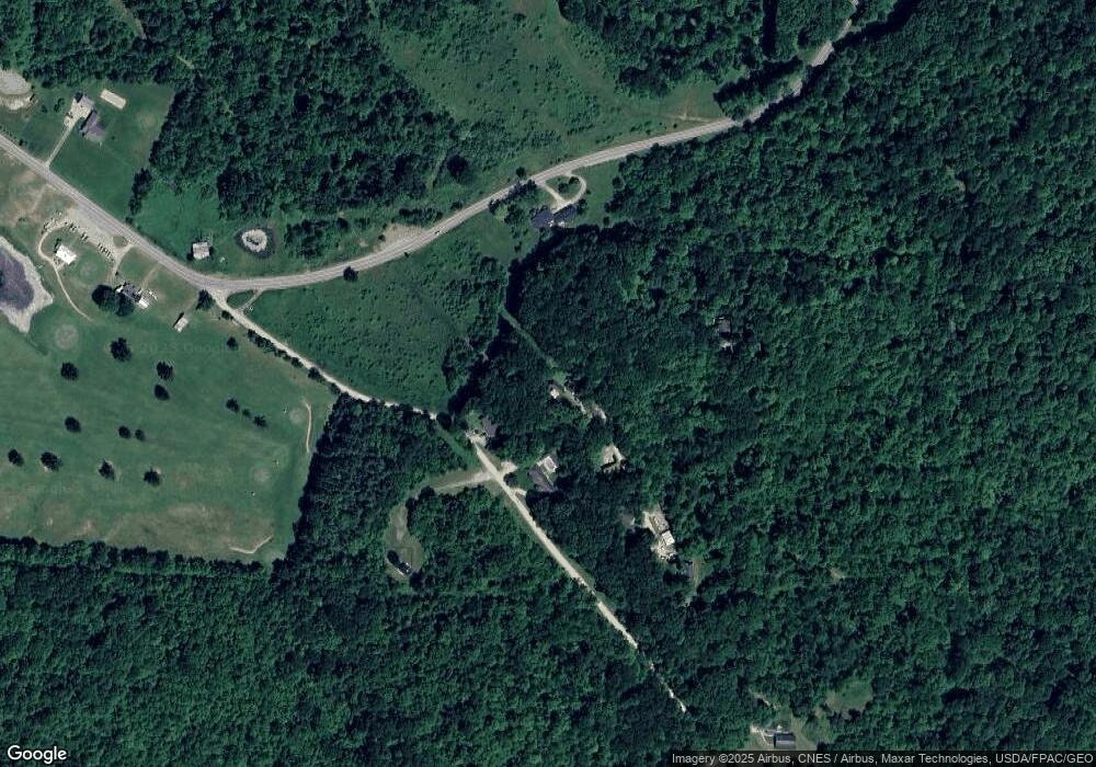
Map
Nearby Homes
- 6690 N Wrightstown Rd
- 6650 N Wrightstown Rd
- 6696 N Wrightstown Rd
- 6710 N Wrightstown Rd
- 5930 S State Route 78
- 5908 S State Route 78
- 6460 S State Route 78
- 6810 N Wrightstown Rd
- 6033 S State Route 78
- 6037 S State Route 78
- 6041 S State Route 78
- 6049 S State Route 78
- 6830 N Wrightstown Rd
- 6363 S State Route 78
- 2057 S R 78
- 6345 S State Route 78
- 6325 S State Route 78
- 6485 S State Route 78
- 6309 S State Route 78
- 6299 S State Route 78
Your Personal Tour Guide
Ask me questions while you tour the home.