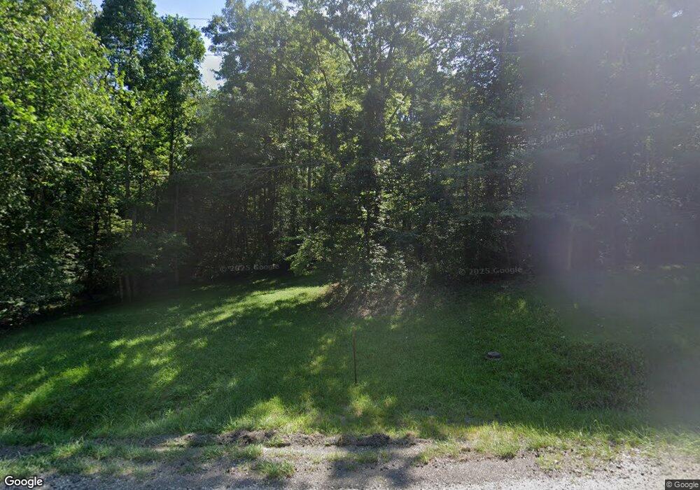
Estimated Value: $166,000 - $464,832
3
Beds
2
Baths
1,400
Sq Ft
$248/Sq Ft
Est. Value
About This Home
This home is located at 6670 State Route 312, Logan, OH 43138 and is currently estimated at $346,958, approximately $247 per square foot. 6670 State Route 312 is a home with nearby schools including Green Elementary School.
Ownership History
Date
Name
Owned For
Owner Type
Purchase Details
Closed on
Aug 9, 2001
Sold by
Stoessel Clifford J and Stoessel Priscilla N
Bought by
Wolfe Ryan W and Wolfe Vanessa A
Current Estimated Value
Home Financials for this Owner
Home Financials are based on the most recent Mortgage that was taken out on this home.
Original Mortgage
$27,000
Interest Rate
5.88%
Mortgage Type
Future Advance Clause Open End Mortgage
Create a Home Valuation Report for This Property
The Home Valuation Report is an in-depth analysis detailing your home's value as well as a comparison with similar homes in the area
Home Values in the Area
Average Home Value in this Area
Purchase History
| Date | Buyer | Sale Price | Title Company |
|---|---|---|---|
| Wolfe Ryan W | -- | None Available |
Source: Public Records
Mortgage History
| Date | Status | Borrower | Loan Amount |
|---|---|---|---|
| Previous Owner | Wolfe Ryan W | $27,000 |
Source: Public Records
Tax History Compared to Growth
Tax History
| Year | Tax Paid | Tax Assessment Tax Assessment Total Assessment is a certain percentage of the fair market value that is determined by local assessors to be the total taxable value of land and additions on the property. | Land | Improvement |
|---|---|---|---|---|
| 2024 | $2,980 | $81,100 | $18,150 | $62,950 |
| 2023 | $2,980 | $81,100 | $18,150 | $62,950 |
| 2022 | $2,353 | $59,960 | $12,730 | $47,230 |
| 2021 | $2,360 | $59,960 | $12,730 | $47,230 |
| 2020 | $2,360 | $59,960 | $12,730 | $47,230 |
| 2019 | $2,154 | $55,200 | $12,600 | $42,600 |
| 2018 | $2,116 | $55,200 | $12,600 | $42,600 |
| 2017 | $2,047 | $55,200 | $12,600 | $42,600 |
| 2016 | $1,985 | $50,770 | $11,580 | $39,190 |
| 2015 | $2,030 | $50,770 | $11,580 | $39,190 |
| 2014 | $1,916 | $50,770 | $11,580 | $39,190 |
| 2013 | $962 | $50,770 | $11,580 | $39,190 |
| 2012 | -- | $49,590 | $11,580 | $38,010 |
Source: Public Records
Map
Nearby Homes
- 5840 Township Road 248
- 5400 Saunders Rd
- 0 Ohio 668
- 4181 Van Horn Rd SW
- 0 Schmeltzer Rd
- 9168 Bremen Rd
- 0 Bethel Rd SE Unit 225039271
- 35041 Hunter Rd
- 10132 Bremen Rd
- 5618 Ohio 664
- 12151 State Route 93 N
- 8941 State Route 664 N
- 2910 Township Road 185 SW
- 9600 Larimer Rd
- 8931 Sacred Heart Rd SE
- 12170 State Route 93 N
- 3675 County Rd 11
- 3385 Marietta Rd SW
- 11200 Bremen Rd
- 0 Walnut Dowler Rd Unit 225043922
- 6682 State Route 312
- 6635 State Route 312
- 7052 State Route 312
- 6605 State Route 312
- 6925 State Route 312
- 6945 State Route 312
- 6521 State Route 312
- 6521 State Route 312
- 5250 Griggs Rd
- 6505 State Route 312
- 7150 State Route 312
- 7245 State Route 312
- 6330 State Route 312
- 7290 State Route 312
- 7285 State Route 312
- 6950 Township Road 234
- 7038 Township Road 234
- 6215 State Route 312
- 6161 State Route 312
- 6130 State Route 312
