6670 W Townsend Rd Saint Johns, MI 48879
Estimated Value: $350,000 - $541,401
3
Beds
2
Baths
1,576
Sq Ft
$278/Sq Ft
Est. Value
About This Home
This home is located at 6670 W Townsend Rd, Saint Johns, MI 48879 and is currently estimated at $437,467, approximately $277 per square foot. 6670 W Townsend Rd is a home located in Clinton County with nearby schools including St. Johns High School.
Ownership History
Date
Name
Owned For
Owner Type
Purchase Details
Closed on
Sep 22, 2004
Sold by
Cole Michael S
Bought by
Taylor Thomas P and Taylor Catherine L
Current Estimated Value
Home Financials for this Owner
Home Financials are based on the most recent Mortgage that was taken out on this home.
Original Mortgage
$252,000
Outstanding Balance
$124,930
Interest Rate
5.89%
Mortgage Type
Purchase Money Mortgage
Estimated Equity
$312,537
Purchase Details
Closed on
Feb 2, 2004
Sold by
Mortgage Electronic Registration System
Bought by
Federal National Mortgage Association
Purchase Details
Closed on
Jan 29, 2004
Sold by
Cole Michael S and Cole Lisa
Bought by
Mortgage Electronic Registration Systems
Create a Home Valuation Report for This Property
The Home Valuation Report is an in-depth analysis detailing your home's value as well as a comparison with similar homes in the area
Home Values in the Area
Average Home Value in this Area
Purchase History
| Date | Buyer | Sale Price | Title Company |
|---|---|---|---|
| Taylor Thomas P | $315,000 | Fatic | |
| Federal National Mortgage Association | -- | -- | |
| Mortgage Electronic Registration Systems | $280,203 | -- |
Source: Public Records
Mortgage History
| Date | Status | Borrower | Loan Amount |
|---|---|---|---|
| Open | Taylor Thomas P | $252,000 |
Source: Public Records
Tax History Compared to Growth
Tax History
| Year | Tax Paid | Tax Assessment Tax Assessment Total Assessment is a certain percentage of the fair market value that is determined by local assessors to be the total taxable value of land and additions on the property. | Land | Improvement |
|---|---|---|---|---|
| 2025 | -- | $266,400 | $91,700 | $174,700 |
| 2024 | $3,100 | $242,000 | $87,000 | $155,000 |
| 2023 | $3,100 | $222,800 | $0 | $0 |
| 2022 | $1,276 | $207,500 | $80,400 | $127,100 |
| 2021 | $3,100 | $182,000 | $69,300 | $112,700 |
| 2020 | $3,100 | $167,800 | $71,300 | $96,500 |
| 2019 | $1,203 | $147,600 | $59,200 | $88,400 |
| 2018 | $0 | $150,400 | $59,200 | $91,200 |
| 2017 | -- | $143,900 | $58,100 | $85,800 |
| 2016 | -- | $109,400 | $36,700 | $72,700 |
| 2015 | -- | $104,100 | $0 | $0 |
| 2011 | -- | $100,400 | $0 | $0 |
Source: Public Records
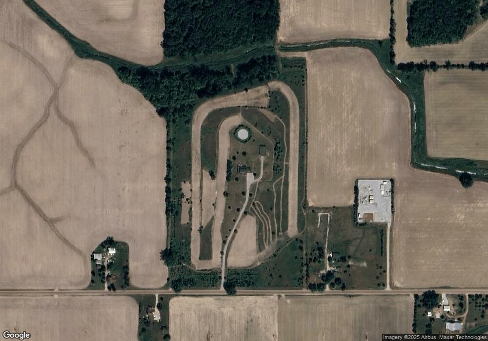
Map
Nearby Homes
- 5458 W Taft Rd
- 3445 W County Line Rd
- The Claire Plan at Fieldstone Village
- The Lilly Plan at Fieldstone Village
- 0 V/L W Colony Rd
- 812 W Park St
- 0 W Colony Unit 286993
- 812 W Cass St
- 2403 W Gallant Fox Way
- 2386 W Gallant Fox Way
- 800 W State St
- V/L W M21
- 2353 Winners Cir
- 10911 E Kent St
- 2239 Secretariat Ln
- 11040 W Ionia St
- 306 S Emmons St
- 11138 W 2nd St
- 2320 Secretariat Ln
- 5550 Paxton Rd
- 6552 W Townsend Rd
- 6788 W Townsend Rd
- 6721 W Townsend Rd Unit STREET
- 6370 W Townsend Rd
- 6415 W Townsend Rd
- 6260 W Townsend Rd
- 1700 S Francis Rd
- 1520 S Francis Rd
- 7104 W Townsend Rd
- 1305 S Francis Rd
- 1400 S Francis Rd
- 7234 W Townsend Rd
- 2104 S Lowell Rd
- 7305 W Townsend Rd
- 1177 S Francis Rd
- 1188 S Francis Rd
- 1501 S Lowell Rd
- 5794 W Townsend Rd
- 6897 Michigan 21
- 6301 W M 21