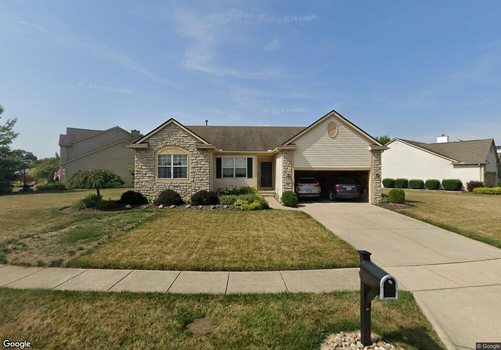
6671 Deagle Dr Westerville, OH 43081
West Albany NeighborhoodEstimated Value: $400,000 - $435,262
3
Beds
2
Baths
1,697
Sq Ft
$247/Sq Ft
Est. Value
About This Home
This home is located at 6671 Deagle Dr, Westerville, OH 43081 and is currently estimated at $419,316, approximately $247 per square foot. 6671 Deagle Dr is a home located in Franklin County with nearby schools including Avalon Elementary School, Northgate Intermediate, and Woodward Park Middle School.
Ownership History
Date
Name
Owned For
Owner Type
Purchase Details
Closed on
Jul 27, 2006
Sold by
Stover Scot W
Bought by
Pharris Lottie J and Pharris Connie H
Current Estimated Value
Purchase Details
Closed on
Jul 20, 2001
Sold by
Diyanni Brothers Inc
Bought by
Stover Scot W
Home Financials for this Owner
Home Financials are based on the most recent Mortgage that was taken out on this home.
Original Mortgage
$193,193
Outstanding Balance
$74,452
Interest Rate
7.14%
Mortgage Type
FHA
Estimated Equity
$344,864
Create a Home Valuation Report for This Property
The Home Valuation Report is an in-depth analysis detailing your home's value as well as a comparison with similar homes in the area
Home Values in the Area
Average Home Value in this Area
Purchase History
| Date | Buyer | Sale Price | Title Company |
|---|---|---|---|
| Pharris Lottie J | $206,500 | Amerititle | |
| Stover Scot W | $194,800 | Title First Agency Inc |
Source: Public Records
Mortgage History
| Date | Status | Borrower | Loan Amount |
|---|---|---|---|
| Open | Stover Scot W | $193,193 |
Source: Public Records
Tax History Compared to Growth
Tax History
| Year | Tax Paid | Tax Assessment Tax Assessment Total Assessment is a certain percentage of the fair market value that is determined by local assessors to be the total taxable value of land and additions on the property. | Land | Improvement |
|---|---|---|---|---|
| 2024 | $5,093 | $123,280 | $39,380 | $83,900 |
| 2023 | $5,056 | $123,270 | $39,375 | $83,895 |
| 2022 | $3,729 | $80,640 | $16,800 | $63,840 |
| 2021 | $3,735 | $80,640 | $16,800 | $63,840 |
| 2020 | $3,740 | $80,640 | $16,800 | $63,840 |
| 2019 | $3,578 | $67,730 | $14,000 | $53,730 |
| 2018 | $3,527 | $67,730 | $14,000 | $53,730 |
| 2017 | $3,576 | $67,730 | $14,000 | $53,730 |
| 2016 | $3,837 | $66,680 | $14,980 | $51,700 |
| 2015 | $3,484 | $66,680 | $14,980 | $51,700 |
| 2014 | $3,492 | $66,680 | $14,980 | $51,700 |
| 2013 | $1,629 | $63,525 | $14,280 | $49,245 |
Source: Public Records
Map
Nearby Homes
- 5656 Apothecary Way Unit 2
- 6501 Walnut Fork Dr Unit 6501
- 6498 Ash Rock Cir Unit 6498
- 5604 Apothecary Way Unit 4
- 5600 Apothecary Way
- 6455 Walnut Fork Dr Unit 6455
- 6950 Harlem Rd
- 5556 Falco Dr
- 5981 Niahway St Unit 57
- 5937 Seffner Dr
- 5730 Colts Gate Dr Unit 43
- 5777 Colts Gate Dr Unit 44
- 6813 Ridge Rock Dr Unit 14
- 6746 Morningside Heights Place
- 5798 Aristides Way
- 6923 Rothwell St Unit 46923
- 7016 Churchill Downs Dr
- 6931 Rothwell St Unit 36931
- 6221 Hudson Reserve Way
- 6423 Azile Way
- 6695 Deagle Dr
- 6647 Deagle Dr
- 6670 Deagle Dr
- 6658 Sanibel Ave
- 6658 Deagle Dr
- 6650 Sanibel Ave
- 6678 Deagle Dr
- 6686 Deagle Dr
- 6654 Deagle Dr
- 6642 Sanibel Ave
- 6662 Deagle Dr
- 6694 Deagle Dr
- 6646 Deagle Dr
- 6633 Deagle Dr
- 6702 Deagle Dr
- 6638 Deagle Dr
- 6634 Sanibel Ave
- 6710 Deagle Dr
- 6632 Deagle Dr
- 6728 Bethany Dr