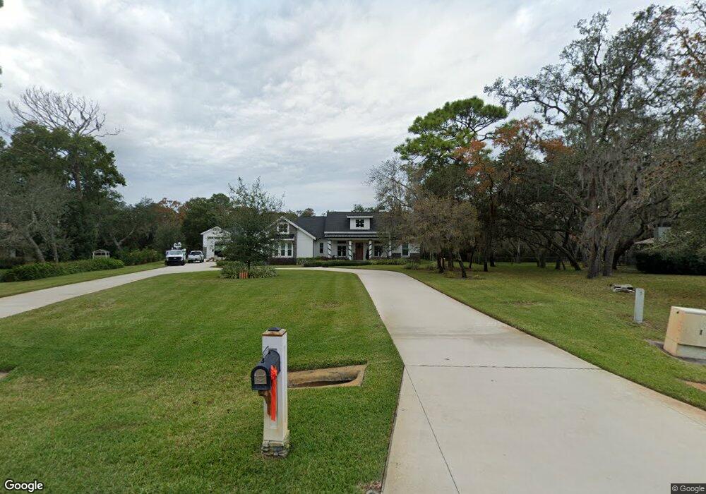
6671 Millstone Dr New Port Richey, FL 34655
Oak Ridge NeighborhoodEstimated Value: $752,000 - $915,000
--
Bed
--
Bath
2,277
Sq Ft
$356/Sq Ft
Est. Value
About This Home
This home is located at 6671 Millstone Dr, New Port Richey, FL 34655 and is currently estimated at $809,878, approximately $355 per square foot. 6671 Millstone Dr is a home with nearby schools including Trinity Oaks Elementary School, Seven Springs Middle School, and James W. Mitchell High School.
Ownership History
Date
Name
Owned For
Owner Type
Purchase Details
Closed on
Apr 19, 2017
Sold by
Frakes Thomas A and Frakes Joanne T
Bought by
Walsingham Steven K and Walsingham Tabitha L
Current Estimated Value
Home Financials for this Owner
Home Financials are based on the most recent Mortgage that was taken out on this home.
Original Mortgage
$144,435
Outstanding Balance
$120,192
Interest Rate
4.21%
Mortgage Type
Future Advance Clause Open End Mortgage
Estimated Equity
$689,686
Purchase Details
Closed on
Nov 27, 1996
Sold by
James F
Bought by
Frakes Thomas A and Frakes Joanne T
Create a Home Valuation Report for This Property
The Home Valuation Report is an in-depth analysis detailing your home's value as well as a comparison with similar homes in the area
Home Values in the Area
Average Home Value in this Area
Purchase History
| Date | Buyer | Sale Price | Title Company |
|---|---|---|---|
| Walsingham Steven K | $145,000 | Heartland Title Co | |
| Frakes Thomas A | $66,500 | -- |
Source: Public Records
Mortgage History
| Date | Status | Borrower | Loan Amount |
|---|---|---|---|
| Open | Walsingham Steven K | $144,435 |
Source: Public Records
Tax History Compared to Growth
Tax History
| Year | Tax Paid | Tax Assessment Tax Assessment Total Assessment is a certain percentage of the fair market value that is determined by local assessors to be the total taxable value of land and additions on the property. | Land | Improvement |
|---|---|---|---|---|
| 2025 | $8,186 | $542,020 | -- | -- |
| 2024 | $8,186 | $511,910 | -- | -- |
| 2023 | $7,898 | $497,000 | $0 | $0 |
| 2022 | $7,112 | $482,530 | $0 | $0 |
| 2021 | $6,996 | $468,480 | $99,484 | $368,996 |
| 2020 | $6,896 | $462,017 | $99,484 | $362,533 |
| 2019 | $7,477 | $453,324 | $99,484 | $353,840 |
| 2018 | $1,611 | $99,484 | $99,484 | $0 |
| 2017 | $1,546 | $99,484 | $99,484 | $0 |
| 2016 | $1,367 | $81,661 | $81,661 | $0 |
| 2015 | $1,397 | $81,661 | $81,661 | $0 |
| 2014 | $1,298 | $77,161 | $77,161 | $0 |
Source: Public Records
Map
Nearby Homes
- 1868 Overview Dr
- 6568 Millstone Dr
- 1627 Belltower Dr
- 6938 Coronet Dr
- 6602 Winding Brook Dr
- 1357 Dinsmore Ct
- 6848 Copperfield Dr
- 6130 Japonica Ct
- 0 Japonica Ct Unit MFRU8253219
- 2202 Amity Ct
- 7115 Hummingbird Ln
- 2309 Woodbend Cir
- 7230 Hummingbird Ln
- 7246 Gaberia Rd
- 7212 Otter Creek Dr
- 1455 Haverhill Dr
- 0 Flotilla Dr Unit MFRW7875566
- 5828 Mariposa Dr
- 2323 Tarragon Ln
- 6906 Collingswood Ct
- 6655 Millstone Dr
- 6675 Millstone Dr
- 6637 Millstone Dr
- 6695 Millstone Dr
- 1751 Blackrock Ct
- 1904 Overview Dr
- 6522 Sunhigh Dr
- 6611 Millstone Dr
- 6507 Sunhigh Dr
- 1840 Overview Dr
- 6713 Millstone Dr
- 6638 Millstone Dr
- 6567 Millstone Dr
- 1918 Overview Dr
- 1741 Blackrock Ct
- 6723 Millstone Dr
- 6622 Millstone Dr
- 1766 Overview Dr
- 6551 Millstone Dr
- 1905 Overview Dr