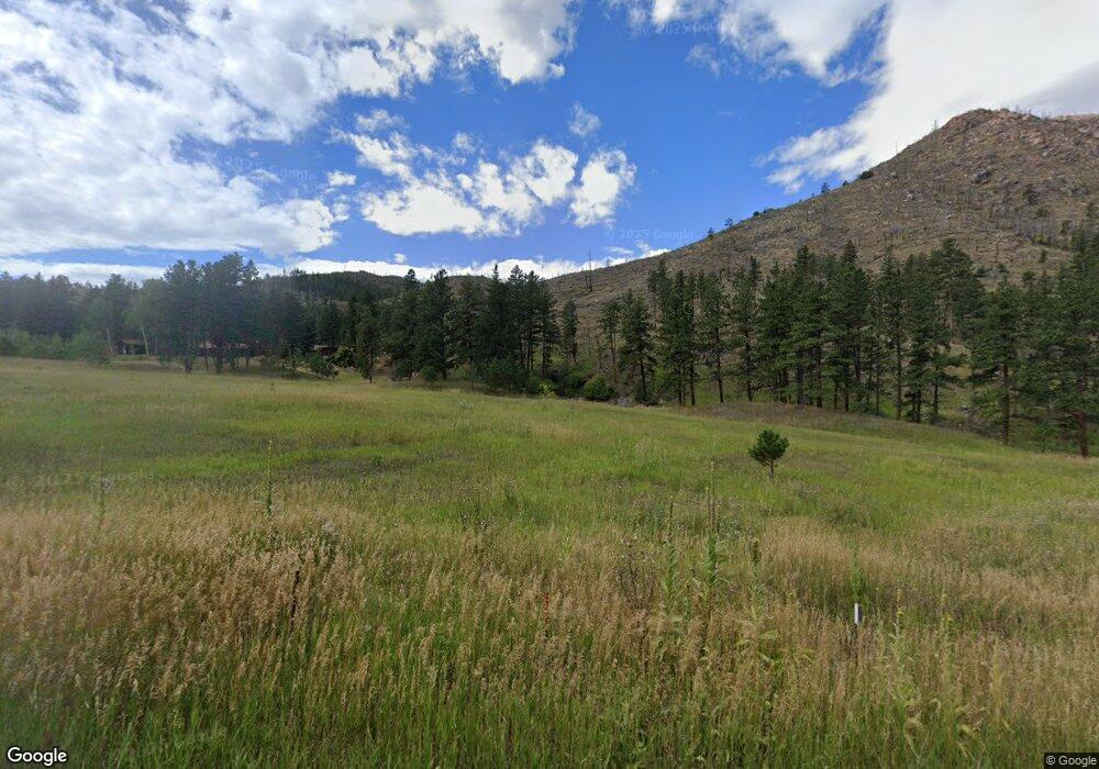
6671 Stove Prairie Rd Bellvue, CO 80512
Estimated Value: $580,000 - $925,000
3
Beds
2
Baths
2,833
Sq Ft
$259/Sq Ft
Est. Value
About This Home
This home is located at 6671 Stove Prairie Rd, Bellvue, CO 80512 and is currently estimated at $733,715, approximately $258 per square foot. 6671 Stove Prairie Rd is a home located in Larimer County with nearby schools including Stove Prairie Elementary School, Cache La Poudre Middle School, and Poudre High School.
Ownership History
Date
Name
Owned For
Owner Type
Purchase Details
Closed on
Jan 15, 2016
Sold by
Ramos Rafael A
Bought by
Ramos Patricia
Current Estimated Value
Home Financials for this Owner
Home Financials are based on the most recent Mortgage that was taken out on this home.
Original Mortgage
$190,000
Outstanding Balance
$145,493
Interest Rate
2.87%
Mortgage Type
Seller Take Back
Estimated Equity
$588,222
Purchase Details
Closed on
Jun 1, 1994
Sold by
Creeden W T
Bought by
Ramos Rafael A
Create a Home Valuation Report for This Property
The Home Valuation Report is an in-depth analysis detailing your home's value as well as a comparison with similar homes in the area
Home Values in the Area
Average Home Value in this Area
Purchase History
| Date | Buyer | Sale Price | Title Company |
|---|---|---|---|
| Ramos Patricia | $240,000 | Stewart Title | |
| Ramos Rafael A | $245,000 | -- |
Source: Public Records
Mortgage History
| Date | Status | Borrower | Loan Amount |
|---|---|---|---|
| Open | Ramos Patricia | $190,000 |
Source: Public Records
Tax History Compared to Growth
Tax History
| Year | Tax Paid | Tax Assessment Tax Assessment Total Assessment is a certain percentage of the fair market value that is determined by local assessors to be the total taxable value of land and additions on the property. | Land | Improvement |
|---|---|---|---|---|
| 2025 | $2,773 | $36,304 | $275 | $36,029 |
| 2024 | $2,621 | $36,304 | $275 | $36,029 |
| 2022 | $1,765 | $21,142 | $272 | $20,870 |
| 2021 | $1,792 | $21,899 | $299 | $21,600 |
| 2020 | $1,953 | $23,633 | $290 | $23,343 |
| 2019 | $1,962 | $23,633 | $290 | $23,343 |
| 2018 | $2,028 | $25,291 | $273 | $25,018 |
| 2017 | $2,020 | $25,291 | $273 | $25,018 |
| 2016 | $1,611 | $20,047 | $249 | $19,798 |
| 2015 | $1,598 | $20,050 | $250 | $19,800 |
| 2014 | $989 | $12,320 | $230 | $12,090 |
Source: Public Records
Map
Nearby Homes
- 0 Tbd Old Flowers Rd
- 520 Isaac Ln
- 9200 Old Flowers Rd
- 0 Tbd Stratton Park Rd Lot 3
- 14884 Rist Canyon Rd
- 552 Blue Grouse Ln
- 45 Bull Rock Ct
- 151 Black Mountain Ct
- 598 Mount McConnell Dr
- 107 Mount Audubon Way
- 743 Horse Mountain Dr
- 112 Rabbit Ears Ct
- 42 Smokey Mountain Ct
- 232 Red Mountain Ct
- 0 Falls Creek Dr Unit 1048302
- 113 Purple Mountain Ct
- 200 Falls Creek Dr
- 38 Carson Peak Ct
- 890 Meadow Mountain Dr
- 1324 Meadow Mountain Dr
