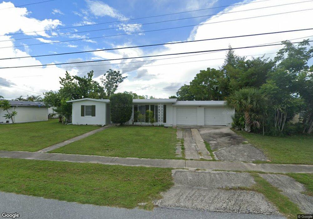
6672 Marius Rd North Port, FL 34287
Estimated Value: $236,000 - $288,000
2
Beds
2
Baths
1,060
Sq Ft
$242/Sq Ft
Est. Value
About This Home
This home is located at 6672 Marius Rd, North Port, FL 34287 and is currently estimated at $256,855, approximately $242 per square foot. 6672 Marius Rd is a home located in Sarasota County with nearby schools including North Port High School, Lamarque Elementary School, and Heron Creek Middle School.
Ownership History
Date
Name
Owned For
Owner Type
Purchase Details
Closed on
Jul 16, 1998
Sold by
Kelser Amanda and Kelser Hans P
Bought by
Paxton Brooke C and Paxton Diane L
Current Estimated Value
Home Financials for this Owner
Home Financials are based on the most recent Mortgage that was taken out on this home.
Original Mortgage
$60,315
Outstanding Balance
$12,279
Interest Rate
6.94%
Estimated Equity
$244,576
Purchase Details
Closed on
Apr 2, 1998
Sold by
Isphording R O and Feldmann Maria B
Bought by
Kaiser Amanda
Create a Home Valuation Report for This Property
The Home Valuation Report is an in-depth analysis detailing your home's value as well as a comparison with similar homes in the area
Home Values in the Area
Average Home Value in this Area
Purchase History
| Date | Buyer | Sale Price | Title Company |
|---|---|---|---|
| Paxton Brooke C | $33,600 | -- | |
| Kaiser Amanda | -- | -- |
Source: Public Records
Mortgage History
| Date | Status | Borrower | Loan Amount |
|---|---|---|---|
| Open | Paxton Brooke C | $60,315 |
Source: Public Records
Tax History Compared to Growth
Tax History
| Year | Tax Paid | Tax Assessment Tax Assessment Total Assessment is a certain percentage of the fair market value that is determined by local assessors to be the total taxable value of land and additions on the property. | Land | Improvement |
|---|---|---|---|---|
| 2024 | $3,810 | $210,383 | -- | -- |
| 2023 | $3,810 | $228,600 | $64,100 | $164,500 |
| 2022 | $3,174 | $186,700 | $52,700 | $134,000 |
| 2021 | $2,835 | $141,700 | $39,600 | $102,100 |
| 2020 | $1,080 | $56,570 | $0 | $0 |
| 2019 | $1,063 | $55,298 | $0 | $0 |
| 2018 | $988 | $54,267 | $0 | $0 |
| 2017 | $964 | $53,151 | $0 | $0 |
| 2016 | $967 | $120,700 | $35,600 | $85,100 |
| 2015 | $973 | $106,600 | $34,500 | $72,100 |
| 2014 | $949 | $50,528 | $0 | $0 |
Source: Public Records
Map
Nearby Homes
- 8680 Quinn Ct
- 8661 Quinn Ct
- 6488 Angle Place
- 6368 Mataro Ct
- 6480 Angle Place
- LOTS 12, 13 & 14 Lamar Ct
- 6339 Pontiac Ln
- 6655 Pan American Blvd
- 0 Mystic Cir Unit MFRC7504572
- 6540 Marius Rd
- 6309 Pontiac Ln
- 1204 Malaluka Ct
- 35 Lino Rd
- 34 Lino Rd
- 33 Lino Rd
- 32 Lino Rd
- 6382 Talbot St
- 8774 Mystic Cir
- 6355 Freemont St
- 7 Ramblewood St