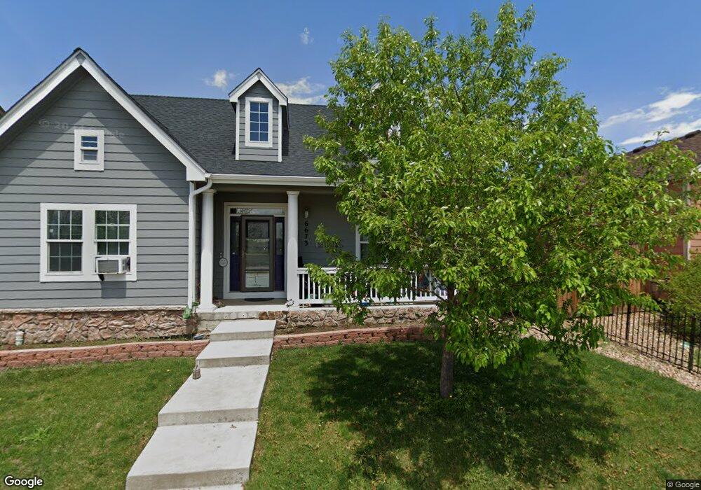
6673 14th St Frederick, CO 80530
Estimated Value: $466,000 - $524,000
3
Beds
2
Baths
1,474
Sq Ft
$334/Sq Ft
Est. Value
About This Home
This home is located at 6673 14th St, Frederick, CO 80530 and is currently estimated at $491,933, approximately $333 per square foot. 6673 14th St is a home located in Weld County with nearby schools including Thunder Valley K-8 and Frederick Senior High School.
Ownership History
Date
Name
Owned For
Owner Type
Purchase Details
Closed on
Jun 20, 2008
Sold by
The Pueblo Bank & Trust Co
Bought by
Taylor Daniel G and Taylor Toni
Current Estimated Value
Home Financials for this Owner
Home Financials are based on the most recent Mortgage that was taken out on this home.
Original Mortgage
$199,090
Outstanding Balance
$127,951
Interest Rate
6.08%
Mortgage Type
VA
Estimated Equity
$363,982
Purchase Details
Closed on
Dec 12, 2007
Sold by
Windstorm V Corp
Bought by
The Pueblo Bank And Trust Co
Create a Home Valuation Report for This Property
The Home Valuation Report is an in-depth analysis detailing your home's value as well as a comparison with similar homes in the area
Home Values in the Area
Average Home Value in this Area
Purchase History
| Date | Buyer | Sale Price | Title Company |
|---|---|---|---|
| Taylor Daniel G | $194,900 | Stewart Title | |
| The Pueblo Bank And Trust Co | -- | None Available |
Source: Public Records
Mortgage History
| Date | Status | Borrower | Loan Amount |
|---|---|---|---|
| Open | Taylor Daniel G | $199,090 |
Source: Public Records
Tax History
| Year | Tax Paid | Tax Assessment Tax Assessment Total Assessment is a certain percentage of the fair market value that is determined by local assessors to be the total taxable value of land and additions on the property. | Land | Improvement |
|---|---|---|---|---|
| 2025 | $3,235 | $30,910 | $6,250 | $24,660 |
| 2024 | $3,235 | $30,910 | $6,250 | $24,660 |
| 2023 | $3,103 | $35,100 | $6,770 | $28,330 |
| 2022 | $2,720 | $26,070 | $5,910 | $20,160 |
| 2021 | $2,747 | $26,820 | $6,080 | $20,740 |
| 2020 | $2,630 | $25,890 | $5,360 | $20,530 |
| 2019 | $2,669 | $25,890 | $5,360 | $20,530 |
| 2018 | $2,304 | $23,200 | $4,680 | $18,520 |
| 2017 | $2,356 | $23,200 | $4,680 | $18,520 |
| 2016 | $2,054 | $19,900 | $3,180 | $16,720 |
| 2015 | $1,991 | $19,900 | $3,180 | $16,720 |
| 2014 | $1,406 | $14,070 | $2,310 | $11,760 |
Source: Public Records
Map
Nearby Homes
- 6654 12th St
- 6120 Needlegrass Green
- 7780 Primrose Green Unit 175
- 7725 Primrose Green Unit 165
- 7745 Primrose Green Unit 163
- 6160 Mallow Green Unit 272
- 6311 Indian Paintbrush St Unit 110
- 6311 Indian Paintbrush St
- 6100 Bluestem Green
- 7971 Larkspur Cir Unit 219
- 1106 Mac Davidson Cir
- 436 Sterling Ln
- 6122 Shamrock Cir
- 511 Sterling Ln
- 3620 County Road 15
- 1044 MacDavidson Cir
- 304 Sunset Ln
- 1055 Sunrise Cir
- 6135 Lincoln St
- 125 6th St
Your Personal Tour Guide
Ask me questions while you tour the home.