Estimated Value: $173,000 - $213,214
About This Home
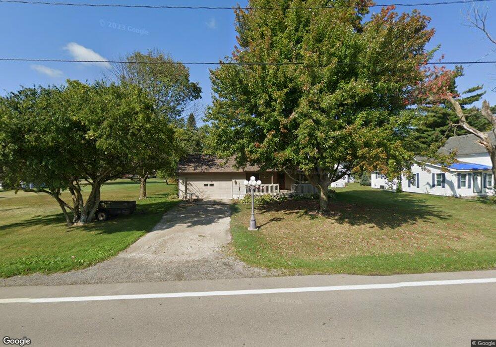
This home is located at 6673 Us Highway 127, Bryan, OH 43506 and is currently estimated at $190,804, approximately $153 per square foot. 6673 Us Highway 127 is a home located in Williams County with nearby schools including Bryan Elementary PK-5, Washington Elementary School, and Bryan Middle School/High School.
Ownership History
We collect this data history from publicly available records. To have your information removed, we recommend requesting removal directly through your county’s website.
Purchase Details
Purchase Details
Home Financials for this Owner
Home Financials are based on the most recent Mortgage that was taken out on this home.Purchase Details
Purchase Details
Purchase History
We collect this data history from publicly available records. To have your information removed, we recommend requesting removal directly through your county’s website.
| Date | Buyer | Sale Price | Title Company |
|---|---|---|---|
| -- | None Listed On Document | ||
| -- | None Listed On Document | ||
| $119,900 | None Available | ||
| $82,000 | -- | ||
| $7,300 | -- |
Mortgage History
We collect this data history from publicly available records. To have your information removed, we recommend requesting removal directly through your county’s website.
| Date | Status | Borrower | Loan Amount |
|---|---|---|---|
| Previous Owner | $119,900 |
Tax History
We collect this data history from publicly available records. To have your information removed, we recommend requesting removal directly through your county’s website.
| Year | Tax Paid | Tax Assessment Tax Assessment Total Assessment is a certain percentage of the fair market value that is determined by local assessors to be the total taxable value of land and additions on the property. | Land | Improvement |
|---|---|---|---|---|
| 2025 | $2,471 | $55,090 | $5,390 | $49,700 |
| 2024 | $2,447 | $55,090 | $5,390 | $49,700 |
| 2023 | $2,471 | $41,200 | $5,640 | $35,560 |
| 2022 | $2,059 | $41,200 | $5,640 | $35,560 |
| 2021 | $2,059 | $41,200 | $5,640 | $35,560 |
| 2020 | $1,772 | $34,340 | $4,690 | $29,650 |
| 2019 | $1,757 | $34,340 | $4,690 | $29,650 |
| 2018 | $1,657 | $34,340 | $4,690 | $29,650 |
| 2017 | $1,633 | $32,270 | $4,690 | $27,580 |
| 2016 | $1,560 | $32,270 | $4,690 | $27,580 |
| 2015 | $1,626 | $32,270 | $4,690 | $27,580 |
| 2014 | $1,626 | $32,270 | $4,690 | $27,580 |
| 2013 | $1,638 | $32,270 | $4,690 | $27,580 |
Map
- 130 Shaffer Blvd
- 107 Shaffer Blvd
- 4739 County Road 15 75
- 110 Shaffer Blvd
- 8437 18 Rd
- 202 Huntington Dr
- 15173 E Mulberry St
- 6695 Ohio 15 Unit 16
- 6695 Ohio 15 Unit 11
- 925 E Bryan St
- 401 Charles St
- 1805 E Wilson St
- 517 N Allen St
- 509 E Mulberry St
- 13673 County Rd E Unit 10
- 228 N Beech St
- 8741 Ohio 34
- 0 Lynn St Unit 6110702
- 330 W Butler St
- 422 S Main St
- 6673 State Highway 127
- 6673 U S Hwy 127
- 6675 Us Highway 127
- 6675 US Hwy 127
- 6669 Us Highway 127
- 128 Mill St S
- 6747 Us Highway 127
- 16424 County Road F75
- 6649 U S 127
- 6649 US Highway 127
- 6649 Us Highway 127
- 6751 Us Highway 127
- 200 Mill St N
- 6738 Us Highway 127
- 118 Mill St S
- 6635 Us Highway 127
- 129 Mill St S
- 6750 Us Hwy 127
- 125 Mill St S
- 6750 Us Highway 127
Ask me questions while you tour the home.