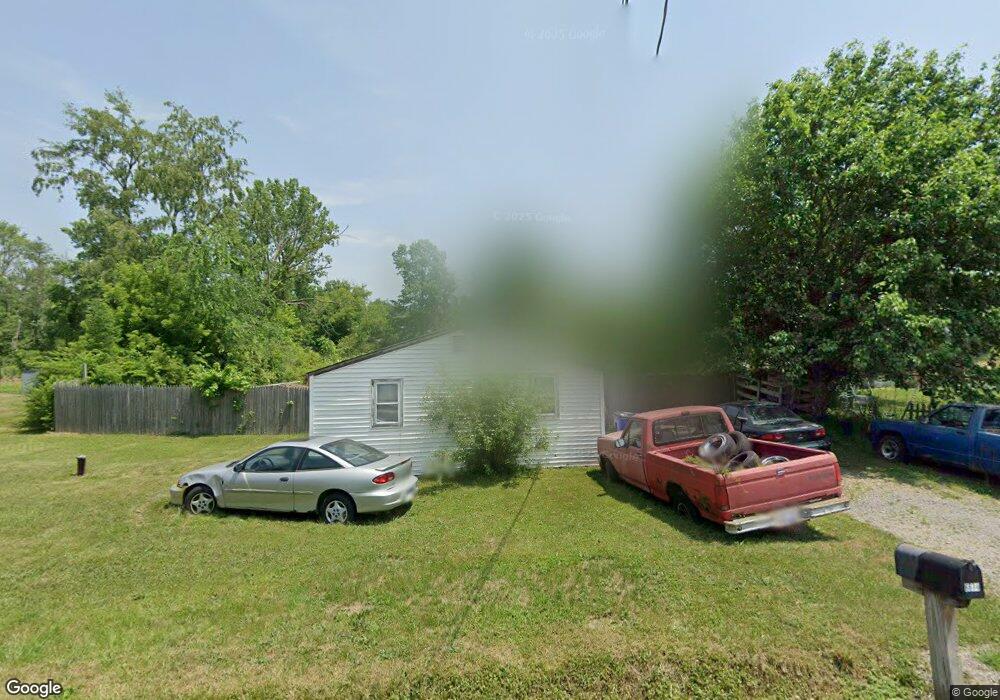
6674 Sprott Rd Ravenna, OH 44266
Estimated Value: $77,469 - $107,000
1
Bed
2
Baths
572
Sq Ft
$167/Sq Ft
Est. Value
About This Home
This home is located at 6674 Sprott Rd, Ravenna, OH 44266 and is currently estimated at $95,617, approximately $167 per square foot. 6674 Sprott Rd is a home located in Portage County with nearby schools including West Park Elementary School, Brown Middle School, and Ravenna High School.
Ownership History
Date
Name
Owned For
Owner Type
Purchase Details
Closed on
May 21, 2002
Sold by
Shaffer Carl L and Shaffer Barbara J
Bought by
Sanford Earl H
Current Estimated Value
Purchase Details
Closed on
Feb 15, 1996
Sold by
White Walter L
Bought by
Shaffer Carl L and Shaffer Barbara
Home Financials for this Owner
Home Financials are based on the most recent Mortgage that was taken out on this home.
Original Mortgage
$14,250
Interest Rate
7.07%
Mortgage Type
New Conventional
Create a Home Valuation Report for This Property
The Home Valuation Report is an in-depth analysis detailing your home's value as well as a comparison with similar homes in the area
Home Values in the Area
Average Home Value in this Area
Purchase History
| Date | Buyer | Sale Price | Title Company |
|---|---|---|---|
| Sanford Earl H | $45,000 | -- | |
| Shaffer Carl L | $15,000 | -- |
Source: Public Records
Mortgage History
| Date | Status | Borrower | Loan Amount |
|---|---|---|---|
| Previous Owner | Shaffer Carl L | $10,135 | |
| Previous Owner | Shaffer Carl L | $28,000 | |
| Previous Owner | Shaffer Carl L | $14,250 |
Source: Public Records
Tax History Compared to Growth
Tax History
| Year | Tax Paid | Tax Assessment Tax Assessment Total Assessment is a certain percentage of the fair market value that is determined by local assessors to be the total taxable value of land and additions on the property. | Land | Improvement |
|---|---|---|---|---|
| 2024 | $333 | $21,850 | $4,380 | $17,470 |
| 2023 | $265 | $15,050 | $3,990 | $11,060 |
| 2022 | $243 | $15,050 | $3,990 | $11,060 |
| 2021 | $225 | $15,050 | $3,990 | $11,060 |
| 2020 | $408 | $15,050 | $3,990 | $11,060 |
| 2019 | $407 | $15,050 | $3,990 | $11,060 |
| 2018 | $374 | $14,530 | $4,660 | $9,870 |
| 2017 | $374 | $14,530 | $4,660 | $9,870 |
| 2016 | $344 | $14,530 | $4,660 | $9,870 |
| 2015 | $345 | $14,530 | $4,660 | $9,870 |
| 2014 | $347 | $14,530 | $4,660 | $9,870 |
| 2013 | $346 | $14,530 | $4,660 | $9,870 |
Source: Public Records
Map
Nearby Homes
- 6615 Cleveland Rd Unit K2
- 6768 Terrill St
- 0 Sumner St
- 6704 Wall St
- 3461 Mabel Ave
- 3487 Lovers Ln
- 3505 Ohio 59 Unit 105
- 3505 Ohio 59 Unit 166
- 3505 Ohio 59 Unit 46
- 825 W Highland Ave
- 6311 Roselawn Ave
- 6388 Marchinn Dr
- 656 W Highland Ave
- 110 Oakwood St
- 856 W Main St
- 255 North Ave
- 6942 State Route 44
- 510 Day St
- 6972 State Route 44
- 1024 W Riddle Ave
- 3627 Parker Rd
- 6678 Sprott Rd
- 6685 Sprott Rd
- 6683 Sprott Rd
- 6764 Sprott Rd
- 6683 Cleveland Rd
- 6689 Cleveland Rd
- 6789 Sprott Rd
- 6694 Cleveland Rd
- 6676 Cleveland Rd
- 6699 Cleveland Rd
- 6672 Cleveland Rd
- 3673 McElrath Ave
- 6650 Cleveland Rd
- 6716 Adams St
- 3686 McElrath Ave
- 0 Adams St
- 6728 Infirmary Rd
- 6628 Cleveland Rd
- 6790 Wall St