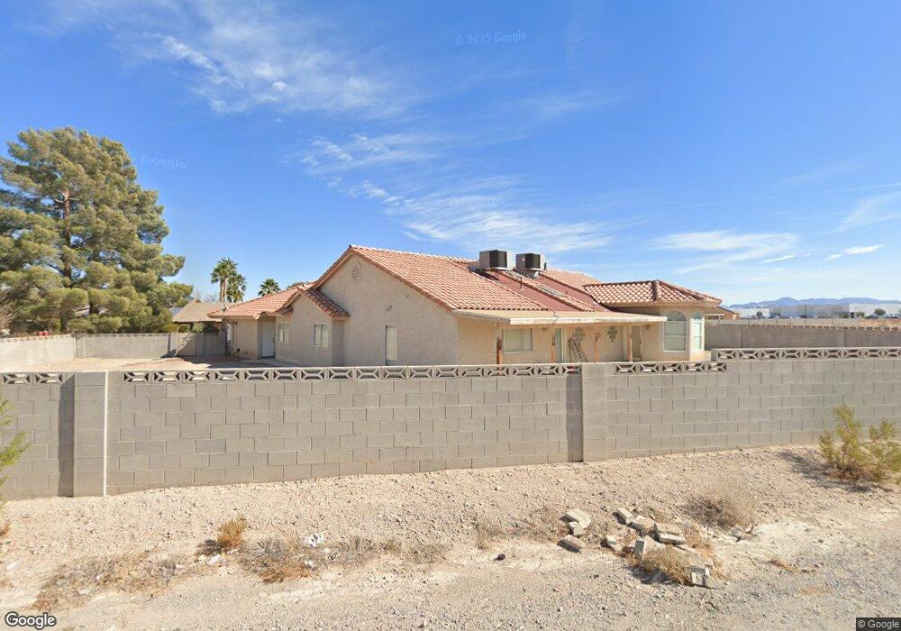
6675 W Patrick Ln Las Vegas, NV 89118
Estimated Value: $786,097 - $908,000
4
Beds
3
Baths
2,946
Sq Ft
$287/Sq Ft
Est. Value
About This Home
This home is located at 6675 W Patrick Ln, Las Vegas, NV 89118 and is currently estimated at $844,774, approximately $286 per square foot. 6675 W Patrick Ln is a home located in Clark County with nearby schools including Marion B Earl Elementary School, Grant Sawyer Middle School, and Durango High School.
Ownership History
Date
Name
Owned For
Owner Type
Purchase Details
Closed on
Jul 14, 2023
Sold by
Rhodes John W and Chen-Rhodes Diana T
Bought by
Rhodes Family Trust and Rhodes
Current Estimated Value
Purchase Details
Closed on
Feb 23, 2005
Sold by
Rhodes Johnny W and Chen Diana T
Bought by
Rhodes John W and Chen Rhodes Diana T
Home Financials for this Owner
Home Financials are based on the most recent Mortgage that was taken out on this home.
Original Mortgage
$303,000
Interest Rate
5.73%
Mortgage Type
New Conventional
Purchase Details
Closed on
Jan 31, 2004
Sold by
Homeyer Jeffrey
Bought by
6655 W Patrick Lane Well Assn
Create a Home Valuation Report for This Property
The Home Valuation Report is an in-depth analysis detailing your home's value as well as a comparison with similar homes in the area
Home Values in the Area
Average Home Value in this Area
Purchase History
| Date | Buyer | Sale Price | Title Company |
|---|---|---|---|
| Rhodes Family Trust | -- | None Listed On Document | |
| Rhodes John W | -- | North American Title Company | |
| 6655 W Patrick Lane Well Assn | $1,000 | -- |
Source: Public Records
Mortgage History
| Date | Status | Borrower | Loan Amount |
|---|---|---|---|
| Previous Owner | Rhodes John W | $303,000 |
Source: Public Records
Tax History Compared to Growth
Tax History
| Year | Tax Paid | Tax Assessment Tax Assessment Total Assessment is a certain percentage of the fair market value that is determined by local assessors to be the total taxable value of land and additions on the property. | Land | Improvement |
|---|---|---|---|---|
| 2025 | $3,647 | $195,345 | $73,500 | $121,845 |
| 2024 | $3,541 | $195,345 | $73,500 | $121,845 |
| 2023 | $3,541 | $177,680 | $61,250 | $116,430 |
| 2022 | $3,438 | $160,838 | $54,250 | $106,588 |
| 2021 | $3,338 | $151,526 | $49,000 | $102,526 |
| 2020 | $3,238 | $151,419 | $49,000 | $102,419 |
| 2019 | $3,143 | $145,294 | $43,750 | $101,544 |
| 2018 | $3,052 | $138,750 | $40,250 | $98,500 |
| 2017 | $3,964 | $135,144 | $35,000 | $100,144 |
| 2016 | $2,890 | $125,798 | $28,000 | $97,798 |
| 2015 | $2,884 | $125,645 | $26,250 | $99,395 |
| 2014 | $2,800 | $92,629 | $17,500 | $75,129 |
Source: Public Records
Map
Nearby Homes
- 0 W Unit 2633036
- 6480 W Oquendo Rd
- 5877 Steinbeck Valley St
- 5652 Redwood St
- 5669 Steampunk St
- 5663 Sartorial St
- 5633 Steampunk St
- 5770 El Camino Rd
- 5692 Tinar St
- 5677 Asyma Ct
- 7086 Parkallen Ave
- 7232 Deer View Ct
- 5535 Mount Diablo Dr
- 7058 Baza Ave
- 5734 Prima St
- 0 Unit 2701179
- 5595 El Camino Rd
- 5603 Deer Creek Falls Ct
- 7280 Saxby Ave
- 7255 W Sunset Rd Unit 1174
- 6695 W Patrick Ln
- 6665 W Patrick Ln
- 6655 W Patrick Ln
- 6165 Sorrel St
- 6175 Sorrel St
- 6155 Sorrel St
- 6185 Sorrel St
- 6640 W Patrick Ln
- 6550 Sobb Ave
- 6580 W Patrick Ln
- 6260 Redwood St
- 6025 Sorrel St
- 6510 Sobb Ave
- 6565 Ponderosa Way
- 6525 Ponderosa Way
- 6120 S Torrey Pines Dr
- 6579 W Oquendo Rd
- 6180 S Torrey Pines Dr
- 6735 W Oquendo Rd
- 6571 W Oquendo Rd