6676 Ragland Rd Cincinnati, OH 45244
Estimated Value: $437,000 - $951,936
5
Beds
2
Baths
5,394
Sq Ft
$135/Sq Ft
Est. Value
About This Home
This home is located at 6676 Ragland Rd, Cincinnati, OH 45244 and is currently estimated at $727,234, approximately $134 per square foot. 6676 Ragland Rd is a home located in Hamilton County with nearby schools including Mercer Elementary School, Nagel Middle School, and Turpin High School.
Ownership History
Date
Name
Owned For
Owner Type
Purchase Details
Closed on
Nov 26, 1997
Sold by
Blum Robert W
Bought by
Rusk Mary Blum and Rusk Gregory S
Current Estimated Value
Home Financials for this Owner
Home Financials are based on the most recent Mortgage that was taken out on this home.
Original Mortgage
$730,000
Outstanding Balance
$108,649
Interest Rate
7.46%
Mortgage Type
Seller Take Back
Estimated Equity
$618,585
Purchase Details
Closed on
Apr 18, 1996
Sold by
Blum Robert W and Blum Helen S
Bought by
Blum Elizabeth L
Create a Home Valuation Report for This Property
The Home Valuation Report is an in-depth analysis detailing your home's value as well as a comparison with similar homes in the area
Home Values in the Area
Average Home Value in this Area
Purchase History
| Date | Buyer | Sale Price | Title Company |
|---|---|---|---|
| Rusk Mary Blum | $730,000 | -- | |
| Blum Robert W | -- | -- | |
| Blum Elizabeth L | -- | -- |
Source: Public Records
Mortgage History
| Date | Status | Borrower | Loan Amount |
|---|---|---|---|
| Open | Rusk Mary Blum | $730,000 |
Source: Public Records
Tax History
| Year | Tax Paid | Tax Assessment Tax Assessment Total Assessment is a certain percentage of the fair market value that is determined by local assessors to be the total taxable value of land and additions on the property. | Land | Improvement |
|---|---|---|---|---|
| 2025 | $16,027 | $281,054 | $96,653 | $184,401 |
| 2024 | $15,823 | $281,054 | $96,653 | $184,401 |
| 2023 | $15,827 | $281,054 | $96,653 | $184,401 |
| 2022 | $12,818 | $202,896 | $87,217 | $115,679 |
| 2021 | $12,551 | $202,896 | $87,217 | $115,679 |
| 2020 | $12,624 | $202,896 | $87,217 | $115,679 |
| 2019 | $12,595 | $184,450 | $79,289 | $105,161 |
| 2018 | $11,767 | $184,450 | $79,289 | $105,161 |
| 2017 | $11,215 | $184,450 | $79,289 | $105,161 |
| 2016 | $10,642 | $170,121 | $68,950 | $101,171 |
| 2015 | $10,959 | $170,121 | $68,950 | $101,171 |
| 2014 | $10,962 | $170,121 | $68,950 | $101,171 |
| 2013 | $10,227 | $168,438 | $68,268 | $100,170 |
Source: Public Records
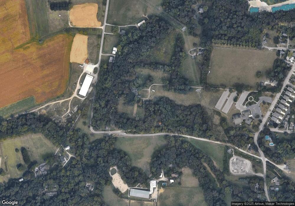
Map
Nearby Homes
- 3226 Church St
- 6809 Jefferson St
- 6716 Treeridge Dr
- 6939 Treeridge Dr
- 3379 Rio Grande Ln
- 2631 Newtown Rd
- 7260 English Dr Unit 8303
- 6420 Copperleaf Ln
- 7269 Anderson Woods Dr
- 2450 Doeview Ct
- 2412 Findlater Ct
- 5555 Beechmont Ave
- 2469 Walnutview Ct
- 3746 Miami Run
- 3767 Miami Run
- 3750 Miami Run
- 3758 Miami Run
- 3771 Miami Run
- 3754 Miami Run
- 3762 Miami Run
- 3304 Turpin Ln
- 3304 Turpin Ln
- 3285 Turpin Ln
- 6732 Linder Ln
- 3340 Turpin Ln
- 6711 Jefferson St
- 6296 Crittenden Dr
- 6750 Linder Ln
- 6738 Linder Ln
- 6758 Linder Ln
- 6726 Linder Ln
- 6710 Linder Ln
- 3211 Church St
- 6298 Crittenden Dr
- 6812 Ragland Rd
- 6704 Linder Ln
- 3143 Newtown Rd
- 6764 Linder Ln
- 6712 Jefferson St
- 6741 Linder Ln
Your Personal Tour Guide
Ask me questions while you tour the home.