6676 S Range Line Rd South Range, WI 54874
Estimated Value: $250,000 - $497,000
--
Bed
--
Bath
--
Sq Ft
41.22
Acres
About This Home
This home is located at 6676 S Range Line Rd, South Range, WI 54874 and is currently estimated at $370,273. 6676 S Range Line Rd is a home located in Douglas County with nearby schools including Northwestern High School.
Ownership History
Date
Name
Owned For
Owner Type
Purchase Details
Closed on
Feb 15, 2022
Sold by
Wild River Holdings Llc
Bought by
M. Smith Jennifer
Current Estimated Value
Purchase Details
Closed on
Mar 22, 2021
Sold by
Smith Jennifer
Bought by
Wild River Holdings Llc
Purchase Details
Closed on
Dec 10, 2010
Sold by
Buyers Match Llc Ea
Bought by
Gundry Adam J and Gundry Darcie M
Purchase Details
Closed on
Feb 26, 2010
Sold by
Lintula Jon E and Lintula Vickie A
Bought by
Buyers Match Llc
Create a Home Valuation Report for This Property
The Home Valuation Report is an in-depth analysis detailing your home's value as well as a comparison with similar homes in the area
Home Values in the Area
Average Home Value in this Area
Purchase History
| Date | Buyer | Sale Price | Title Company |
|---|---|---|---|
| M. Smith Jennifer | $235,000 | Steven J. Ledin | |
| Wild River Holdings Llc | $255,000 | -- | |
| Smith Jennifer | $173,500 | -- | |
| Gundry Adam J | $165,000 | -- | |
| Buyers Match Llc | $164,000 | -- |
Source: Public Records
Tax History Compared to Growth
Tax History
| Year | Tax Paid | Tax Assessment Tax Assessment Total Assessment is a certain percentage of the fair market value that is determined by local assessors to be the total taxable value of land and additions on the property. | Land | Improvement |
|---|---|---|---|---|
| 2024 | $2,958 | $191,900 | $25,100 | $166,800 |
| 2023 | $2,949 | $192,100 | $25,300 | $166,800 |
| 2022 | $2,716 | $192,100 | $25,300 | $166,800 |
| 2021 | $2,452 | $192,000 | $25,200 | $166,800 |
| 2020 | $1,921 | $131,500 | $27,500 | $104,000 |
| 2019 | $1,891 | $131,500 | $27,500 | $104,000 |
| 2018 | $1,992 | $131,500 | $27,500 | $104,000 |
| 2017 | $2,145 | $131,500 | $27,500 | $104,000 |
| 2016 | $2,422 | $131,500 | $27,500 | $104,000 |
| 2015 | $2,357 | $104,000 | $27,500 | $104,000 |
| 2014 | $2,357 | $131,500 | $27,500 | $104,000 |
| 2013 | $2,358 | $131,500 | $27,500 | $104,000 |
Source: Public Records
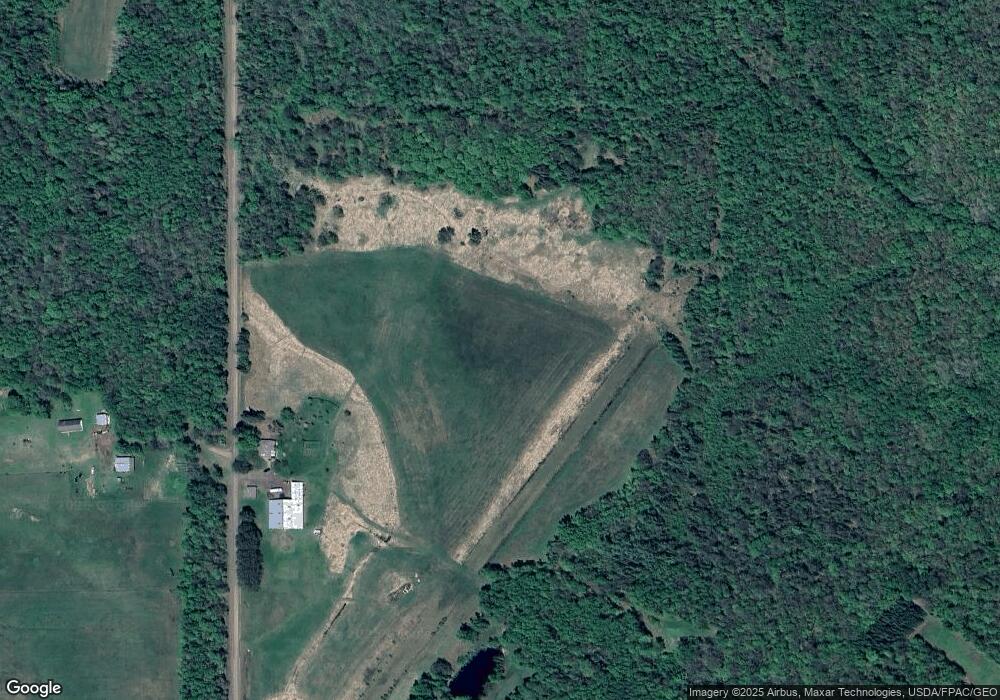
Map
Nearby Homes
- 6474 S Jacksino Rd
- 6509 S Old 11
- 40 acre Lot 1 County Rd L
- 40 acre Lot # 2 County Rd L
- TBD County Rd L Lot 1
- TBD County Rd L Lot 2
- 6XXX Mikrot Rd
- TBD County Road L
- 8562 Kent Rd
- 5629 E Clara Barton Rd
- 5600 Otto Rd
- 5600 Otto Rd
- 59XX Tri Lakes Rd
- XXXX Lackson Rd
- 8515 S Lyman Lake Rd
- 84xx Maki Rd
- 80 acres County Road L
- 8743 S Lyman Lake Rd
- 6692 E County Road C
- 8148 E Spaulding Rd
- 6673 S Range Line Rd
- 7165 E Clara Barton Rd
- 6551 S Range Line Rd
- Lot 2 Range Line Rd
- Lot 3 Range Line Rd
- 0 Range Line Rd
- 6514 S Range Line Rd
- 6836 S Range Line Rd
- 6511 S Range Line Rd
- 6888 S Range Line Rd
- 7031 E Clara Barton Rd
- 7076 E Clara Barton Rd
- 6476 S Range Line Rd
- 7074 E Clara Barton Rd
- 6697 S Pearson Rd
- 7022 E Clara Barton Rd
- 6909 S Range Line Rd
- 6819 S Pearson Rd
- 6938 S Range Line Rd
- 6972 S Range Line Rd