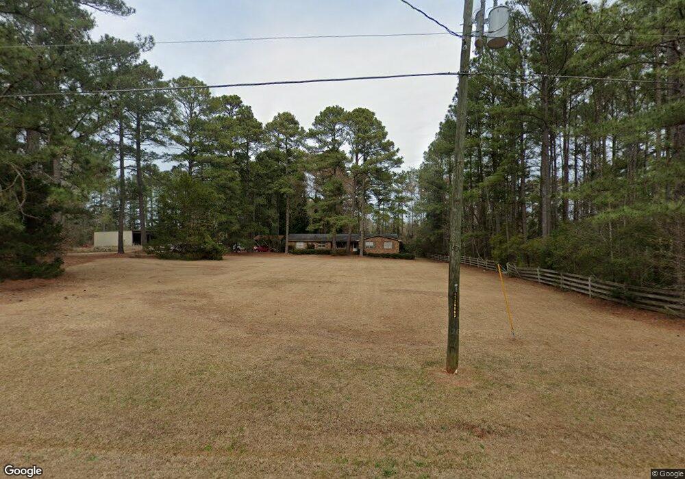
6677 Eubank Dr Appling, GA 30802
Estimated Value: $270,736 - $460,000
3
Beds
3
Baths
2,208
Sq Ft
$171/Sq Ft
Est. Value
About This Home
This home is located at 6677 Eubank Dr, Appling, GA 30802 and is currently estimated at $378,184, approximately $171 per square foot. 6677 Eubank Dr is a home located in Columbia County with nearby schools including North Columbia Elementary School, Harlem Middle School, and Harlem High School.
Ownership History
Date
Name
Owned For
Owner Type
Purchase Details
Closed on
Dec 31, 2010
Sold by
Wheatley David L
Bought by
Wheatley Letitia P
Current Estimated Value
Home Financials for this Owner
Home Financials are based on the most recent Mortgage that was taken out on this home.
Original Mortgage
$103,000
Outstanding Balance
$68,945
Interest Rate
4.48%
Mortgage Type
New Conventional
Estimated Equity
$309,239
Create a Home Valuation Report for This Property
The Home Valuation Report is an in-depth analysis detailing your home's value as well as a comparison with similar homes in the area
Purchase History
| Date | Buyer | Sale Price | Title Company |
|---|---|---|---|
| Wheatley Letitia P | -- | -- |
Source: Public Records
Mortgage History
| Date | Status | Borrower | Loan Amount |
|---|---|---|---|
| Open | Wheatley Letitia P | $103,000 |
Source: Public Records
Tax History
| Year | Tax Paid | Tax Assessment Tax Assessment Total Assessment is a certain percentage of the fair market value that is determined by local assessors to be the total taxable value of land and additions on the property. | Land | Improvement |
|---|---|---|---|---|
| 2025 | $654 | $87,861 | $22,303 | $65,558 |
| 2024 | $564 | $73,458 | $16,940 | $56,518 |
| 2023 | $564 | $63,291 | $10,283 | $53,008 |
| 2022 | $528 | $63,117 | $10,283 | $52,834 |
| 2021 | $513 | $58,427 | $10,283 | $48,144 |
| 2020 | $529 | $57,840 | $9,544 | $48,296 |
| 2019 | $1,484 | $55,428 | $9,544 | $45,884 |
| 2018 | $1,460 | $54,362 | $10,283 | $44,079 |
| 2017 | $1,493 | $55,365 | $10,653 | $44,712 |
| 2016 | $1,274 | $49,288 | $8,505 | $40,783 |
| 2015 | $1,257 | $48,554 | $8,874 | $39,680 |
| 2014 | $1,235 | $47,194 | $8,874 | $38,320 |
Source: Public Records
Map
Nearby Homes
- 3437 Ray Owens Rd
- 6597 Reservoir Rd
- 3428 Ray Owens Rd
- 6494 Washington Rd
- 0 Ridge Rd
- 6452 Washington Rd
- 3324 Ray Owens Rd
- 3320 Ray Owens Rd
- 3316 Ray Owens Rd
- 3405 Tom Bartles Rd
- 3395 Tom Bartles Rd
- 3409 Tom Bartles Rd
- 6982 Moontown Dr E
- 000 Moontown Dr E
- 945 Neptune Trail
- 3204 Ray Owens Rd
- 935 Neptune Trail
- 6710 Washington Rd
- 6978 Moontown Dr E
- 905 Neptune Trail
- 3798 Suan Dr
- 3802 Suan Dr
- 3528 Ray Owens Rd
- 3799 Suan Dr
- 6684 Eubank Dr
- 3808 Suan Dr
- 6664 Eubank Dr
- 3805 Suan Dr
- 3501 Ray Owens Rd
- 6660 Eubank Dr
- 3502 Ray Owens Rd
- 3816 Suan Dr
- 6654 Eubank Dr
- 6650 Eubank Dr
- 6651 Eubank Dr
- 3542 Ray Owens Rd
- 0 Eubank Dr
- 3493 Ray Owens Rd
- 3821 Suan Dr
- 6647 Eubank Dr Unit 29B
Your Personal Tour Guide
Ask me questions while you tour the home.