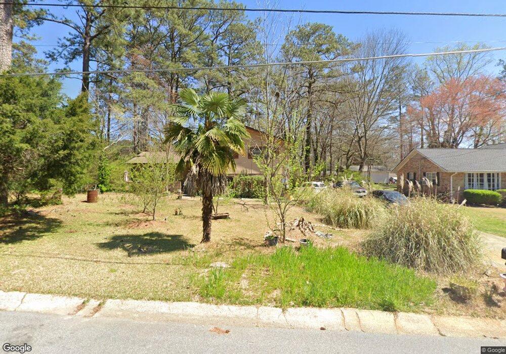
6677 Malvin Dr Austell, GA 30168
Estimated Value: $281,257 - $368,000
3
Beds
3
Baths
1,650
Sq Ft
$190/Sq Ft
Est. Value
About This Home
This home is located at 6677 Malvin Dr, Austell, GA 30168 and is currently estimated at $313,564, approximately $190 per square foot. 6677 Malvin Dr is a home located in Cobb County with nearby schools including Bryant Elementary School, Lindley Middle School, and Pebblebrook High School.
Ownership History
Date
Name
Owned For
Owner Type
Purchase Details
Closed on
Oct 25, 1999
Sold by
Gardner Simeon H and Gardner Shelby H
Bought by
Baylis Brinson T and Baylis Barbara A
Current Estimated Value
Home Financials for this Owner
Home Financials are based on the most recent Mortgage that was taken out on this home.
Original Mortgage
$123,712
Outstanding Balance
$37,525
Interest Rate
7.89%
Mortgage Type
FHA
Estimated Equity
$276,039
Purchase Details
Closed on
Dec 10, 1998
Sold by
Gardner Shelby H
Bought by
Gardner Simeon H and H S
Create a Home Valuation Report for This Property
The Home Valuation Report is an in-depth analysis detailing your home's value as well as a comparison with similar homes in the area
Home Values in the Area
Average Home Value in this Area
Purchase History
| Date | Buyer | Sale Price | Title Company |
|---|---|---|---|
| Baylis Brinson T | $124,400 | -- | |
| Gardner Simeon H | -- | -- |
Source: Public Records
Mortgage History
| Date | Status | Borrower | Loan Amount |
|---|---|---|---|
| Open | Baylis Brinson T | $123,712 |
Source: Public Records
Tax History Compared to Growth
Tax History
| Year | Tax Paid | Tax Assessment Tax Assessment Total Assessment is a certain percentage of the fair market value that is determined by local assessors to be the total taxable value of land and additions on the property. | Land | Improvement |
|---|---|---|---|---|
| 2025 | $518 | $104,752 | $18,400 | $86,352 |
| 2024 | $520 | $104,752 | $18,400 | $86,352 |
| 2023 | $314 | $104,752 | $18,400 | $86,352 |
| 2022 | $444 | $79,356 | $16,000 | $63,356 |
| 2021 | $444 | $79,356 | $16,000 | $63,356 |
| 2020 | $400 | $64,488 | $8,000 | $56,488 |
| 2019 | $368 | $53,904 | $8,000 | $45,904 |
| 2018 | $368 | $53,904 | $8,000 | $45,904 |
| 2017 | $281 | $37,452 | $8,000 | $29,452 |
| 2016 | $282 | $37,452 | $8,000 | $29,452 |
| 2015 | $822 | $37,452 | $8,000 | $29,452 |
| 2014 | $828 | $37,452 | $0 | $0 |
Source: Public Records
Map
Nearby Homes
- 6651 Malvin Dr
- 6675 S Dillon Rd
- 1576 S Gordon Rd
- 6445 Sherwood Trail
- 1784 Brandemere Dr Unit 3
- 6992 Ivy Pointe Row
- 6736 Ivy Log Dr
- 1507 Locust Log Way
- 1151 S Gordon Rd
- 6811 Panda Dr Unit A
- 6854 Panda Ct Unit A
- 6810 Panda Dr Unit B
- 1395 Ling Dr Unit 2
- 6609 Crossing Creek Point
- 1310 Dillon Rd
- 840 Revena Dr
- 6627 Coventry Point
- 6718 Roscommon Dr
- 6689 Malvin Dr
- 6655 Malvin Dr
- 6684 S Dillon Rd
- 6676 Malvin Dr
- 6696 S Dillon Rd
- 6662 S Dillon Rd
- 6670 S Dillon Rd
- 6688 Malvin Dr
- 6664 Malvin Dr
- 6650 S Dillon Rd
- 6702 Malvin Dr
- 6708 S Dillon Rd
- 6637 Malvin Dr
- 6715 Malvin Dr
- 6640 S Dillon Rd
- 6714 Malvin Dr
- 6638 Malvin Dr
- 6720 S Dillon Rd
- 6639 S Dillon Rd
- 6727 Malvin Dr