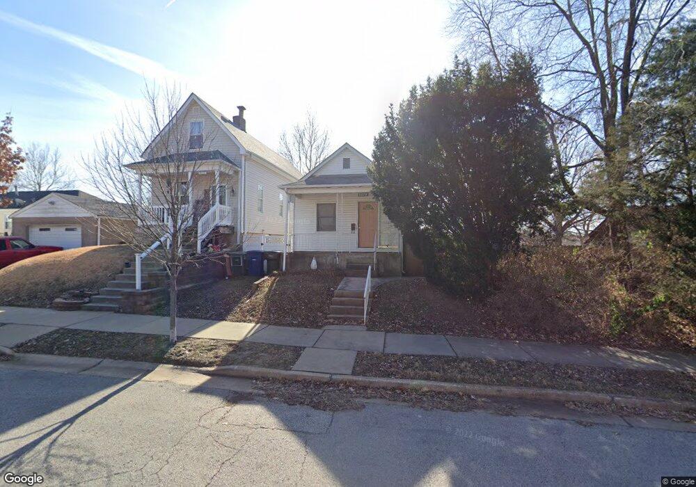
6678 W Park Ave Saint Louis, MO 63139
Hi-Pointe NeighborhoodEstimated Value: $139,722 - $192,000
--
Bed
1
Bath
1,730
Sq Ft
$96/Sq Ft
Est. Value
About This Home
This home is located at 6678 W Park Ave, Saint Louis, MO 63139 and is currently estimated at $166,681, approximately $96 per square foot. 6678 W Park Ave is a home located in St. Louis City with nearby schools including Mason Elementary School, Long International Middle School, and Roosevelt High School.
Ownership History
Date
Name
Owned For
Owner Type
Purchase Details
Closed on
Apr 15, 2005
Sold by
Wood Timothy P and Jaworski Carol A
Bought by
Jaworski Carol A
Current Estimated Value
Home Financials for this Owner
Home Financials are based on the most recent Mortgage that was taken out on this home.
Original Mortgage
$36,300
Interest Rate
5.89%
Mortgage Type
Stand Alone Refi Refinance Of Original Loan
Create a Home Valuation Report for This Property
The Home Valuation Report is an in-depth analysis detailing your home's value as well as a comparison with similar homes in the area
Home Values in the Area
Average Home Value in this Area
Purchase History
| Date | Buyer | Sale Price | Title Company |
|---|---|---|---|
| Jaworski Carol A | -- | -- |
Source: Public Records
Mortgage History
| Date | Status | Borrower | Loan Amount |
|---|---|---|---|
| Closed | Jaworski Carol A | $36,300 |
Source: Public Records
Tax History Compared to Growth
Tax History
| Year | Tax Paid | Tax Assessment Tax Assessment Total Assessment is a certain percentage of the fair market value that is determined by local assessors to be the total taxable value of land and additions on the property. | Land | Improvement |
|---|---|---|---|---|
| 2025 | $1,599 | $20,860 | $1,430 | $19,430 |
| 2024 | $1,522 | $18,770 | $1,430 | $17,340 |
| 2023 | $1,522 | $18,770 | $1,430 | $17,340 |
| 2022 | $1,415 | $16,780 | $1,430 | $15,350 |
| 2021 | $1,413 | $16,780 | $1,430 | $15,350 |
| 2020 | $1,320 | $15,780 | $1,430 | $14,350 |
| 2019 | $1,315 | $15,780 | $1,430 | $14,350 |
| 2018 | $1,144 | $13,270 | $1,430 | $11,840 |
| 2017 | $1,125 | $13,260 | $1,430 | $11,840 |
| 2016 | $992 | $11,500 | $1,430 | $10,070 |
| 2015 | $901 | $11,500 | $1,430 | $10,070 |
| 2014 | $878 | $11,500 | $1,430 | $10,070 |
| 2013 | -- | $11,220 | $1,430 | $9,790 |
Source: Public Records
Map
Nearby Homes
- 1225 Kraft St
- 6719 Nashville Ave
- 1231 Louisville Ave
- 1361 Louisville Ave
- 6756 Dolan Place
- 6819 Clyde Terrace
- 1511 Fairmount Ave
- 6821 W Park Ave
- 6816 Wise Ave
- 1371 Mobile Ct
- 6815 Wise Ave
- 6827 R Dale Ave
- 6614 Oakland Ave Unit A
- 1111 Forest Ave
- 6932 Nashville Ave
- 6454 Wade Ave
- 6608 Oakland Ave
- 6750 Plateau Ave
- 1597 Fairmount Ave
- 1126 Art Hill Place
- 1305 Fairmount Ct
- 1309 Fairmount Ct
- 6676 W Park Ave
- 6686 W Park Ave
- 1311 Fairmount Ct
- 1318 Kraft St
- 1315 Fairmount Ct
- 1240 Kraft St
- 1319 Fairmount Ct
- 1322 Kraft St
- 1236 Kraft St
- 1323 Fairmount Ct
- 1234 Kraft St
- 1326 Kraft St
- 1232 Kraft St
- 1327 Fairmount Ct
- 1330 Kraft St
- 6663 W Park Ave
- 1307 Kraft St
- 1303 Kraft St