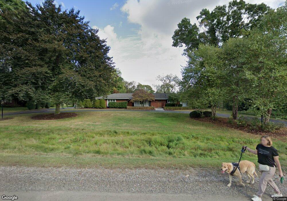
6679 Vachon Ct Unit Bldg-Unit Bloomfield Hills, MI 48301
Estimated Value: $564,000 - $666,000
4
Beds
3
Baths
2,355
Sq Ft
$267/Sq Ft
Est. Value
About This Home
This home is located at 6679 Vachon Ct Unit Bldg-Unit, Bloomfield Hills, MI 48301 and is currently estimated at $628,171, approximately $266 per square foot. 6679 Vachon Ct Unit Bldg-Unit is a home located in Oakland County with nearby schools including Conant Elementary School, South Hills Middle School, and Bloomfield Hills High School.
Ownership History
Date
Name
Owned For
Owner Type
Purchase Details
Closed on
Jul 12, 2018
Sold by
Selinger Kenneth L and Selinger Elizabeth A
Bought by
Foster Sharon K
Current Estimated Value
Home Financials for this Owner
Home Financials are based on the most recent Mortgage that was taken out on this home.
Original Mortgage
$344,000
Outstanding Balance
$298,127
Interest Rate
4.5%
Mortgage Type
New Conventional
Estimated Equity
$330,044
Purchase Details
Closed on
Jun 28, 2004
Sold by
Willer Curtis A and Willer Gloria J
Bought by
Selinger Kenneth L and Selinger Elizabeth A
Home Financials for this Owner
Home Financials are based on the most recent Mortgage that was taken out on this home.
Original Mortgage
$348,000
Interest Rate
5.37%
Mortgage Type
Purchase Money Mortgage
Create a Home Valuation Report for This Property
The Home Valuation Report is an in-depth analysis detailing your home's value as well as a comparison with similar homes in the area
Home Values in the Area
Average Home Value in this Area
Purchase History
| Date | Buyer | Sale Price | Title Company |
|---|---|---|---|
| Foster Sharon K | $430,000 | Premier Title | |
| Selinger Kenneth L | $435,000 | -- |
Source: Public Records
Mortgage History
| Date | Status | Borrower | Loan Amount |
|---|---|---|---|
| Open | Foster Sharon K | $344,000 | |
| Previous Owner | Selinger Kenneth L | $348,000 |
Source: Public Records
Tax History Compared to Growth
Tax History
| Year | Tax Paid | Tax Assessment Tax Assessment Total Assessment is a certain percentage of the fair market value that is determined by local assessors to be the total taxable value of land and additions on the property. | Land | Improvement |
|---|---|---|---|---|
| 2024 | $4,098 | $249,730 | $0 | $0 |
| 2023 | $3,966 | $237,550 | $0 | $0 |
| 2022 | $8,220 | $220,590 | $0 | $0 |
| 2021 | $7,399 | $214,680 | $0 | $0 |
| 2020 | $3,627 | $203,030 | $0 | $0 |
| 2019 | $6,973 | $187,120 | $0 | $0 |
| 2018 | $4,953 | $180,650 | $0 | $0 |
| 2017 | $4,865 | $175,480 | $0 | $0 |
| 2016 | $4,874 | $172,120 | $0 | $0 |
| 2015 | -- | $162,090 | $0 | $0 |
| 2014 | -- | $121,960 | $0 | $0 |
| 2011 | -- | $138,210 | $0 | $0 |
Source: Public Records
Map
Nearby Homes
- 6750 Wing Lake Rd
- 6701 Franklin Rd
- 4456 W Maple Rd
- 7100 Wing Lake Rd
- 6572 Spruce Dr
- 4428 Old Trinity Ct
- 6720 Castle Dr
- 7005 Cathedral Dr
- 6660 Woodbank Dr
- 6940 Castle Dr
- 4200 Surrey Cross
- 7303 Brookside Village Ct
- 6952 Sandalwood Dr
- 4665 W Maple Rd
- 4647 Private Lake Dr
- 750 Trailwood Path Unit B
- 450 Billingsgate Ct Unit C
- 1760 Trailwood Path
- 7310 Sandy Creek Ln
- 25690 W 14 Mile Rd