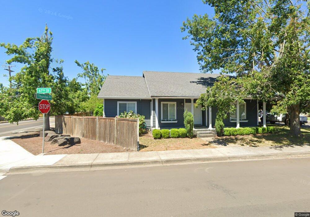
668 67th St Springfield, OR 97478
Thurston NeighborhoodEstimated Value: $398,495 - $462,000
3
Beds
2
Baths
1,356
Sq Ft
$312/Sq Ft
Est. Value
About This Home
This home is located at 668 67th St, Springfield, OR 97478 and is currently estimated at $422,874, approximately $311 per square foot. 668 67th St is a home located in Lane County with nearby schools including Thurston Elementary School, Thurston Middle School, and Thurston High School.
Ownership History
Date
Name
Owned For
Owner Type
Purchase Details
Closed on
Apr 10, 2001
Sold by
Freytag Robin W and Freytag Luisa A
Bought by
Gilbert Alan R and Gilbert Shawna R
Current Estimated Value
Home Financials for this Owner
Home Financials are based on the most recent Mortgage that was taken out on this home.
Original Mortgage
$118,539
Outstanding Balance
$42,850
Interest Rate
7.09%
Mortgage Type
FHA
Estimated Equity
$380,024
Purchase Details
Closed on
Sep 23, 1998
Sold by
Potter Stan G
Bought by
Freytag Robin W and Freytag Luisa A
Home Financials for this Owner
Home Financials are based on the most recent Mortgage that was taken out on this home.
Original Mortgage
$112,098
Interest Rate
6.88%
Mortgage Type
VA
Create a Home Valuation Report for This Property
The Home Valuation Report is an in-depth analysis detailing your home's value as well as a comparison with similar homes in the area
Home Values in the Area
Average Home Value in this Area
Purchase History
| Date | Buyer | Sale Price | Title Company |
|---|---|---|---|
| Gilbert Alan R | $120,400 | Fidelity National Title Ins | |
| Freytag Robin W | $109,900 | Cascade Title Co |
Source: Public Records
Mortgage History
| Date | Status | Borrower | Loan Amount |
|---|---|---|---|
| Open | Gilbert Alan R | $118,539 | |
| Previous Owner | Freytag Robin W | $112,098 |
Source: Public Records
Tax History
| Year | Tax Paid | Tax Assessment Tax Assessment Total Assessment is a certain percentage of the fair market value that is determined by local assessors to be the total taxable value of land and additions on the property. | Land | Improvement |
|---|---|---|---|---|
| 2025 | $4,046 | $220,614 | -- | -- |
| 2024 | $3,980 | $214,189 | -- | -- |
| 2023 | $3,980 | $207,951 | $0 | $0 |
| 2022 | $3,686 | $201,895 | $0 | $0 |
| 2021 | $3,620 | $196,015 | $0 | $0 |
| 2020 | $3,514 | $190,306 | $0 | $0 |
| 2019 | $3,409 | $184,764 | $0 | $0 |
| 2018 | $3,213 | $174,158 | $0 | $0 |
| 2017 | $3,090 | $174,158 | $0 | $0 |
| 2016 | $3,025 | $169,085 | $0 | $0 |
| 2015 | $2,939 | $164,160 | $0 | $0 |
| 2014 | $2,894 | $159,379 | $0 | $0 |
Source: Public Records
Map
Nearby Homes
- 6898 Thurston Rd
- 6885 Simeon Dr
- 555 66th St
- 7080 Thurston Rd Unit 2
- 545 65th St
- 753 64th St
- 6540 B St
- 6875 B St
- 250 68th St
- 0 Omlid Dr Unit 1 706471345
- 0 Omlid Dr Unit 11
- 0 Omlid Dr Unit 27 796722689
- 0 Omlid Dr Unit 26 256458253
- 0 Omlid Dr Unit 10
- 0 Omlid Dr Unit 3 154724851
- 0 Omlid Dr Unit 2 312357104
- 6445 B St
- 468 72nd St
- 353 71st St
- 246 S 70th St
Your Personal Tour Guide
Ask me questions while you tour the home.