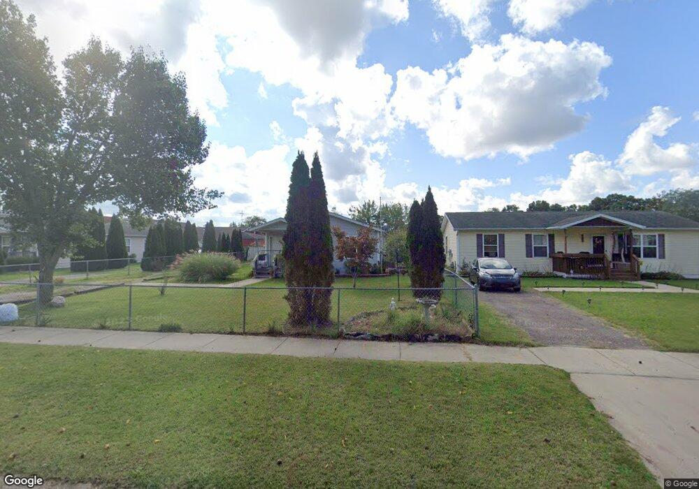
668 E High St Benton Harbor, MI 49022
Estimated Value: $87,000 - $176,054
4
Beds
1
Bath
1,248
Sq Ft
$102/Sq Ft
Est. Value
About This Home
This home is located at 668 E High St, Benton Harbor, MI 49022 and is currently estimated at $127,014, approximately $101 per square foot. 668 E High St is a home located in Berrien County with nearby schools including Fair Plain Middle School, Benton Harbor High School, and Mildred C. Wells Preparatory Academy.
Ownership History
Date
Name
Owned For
Owner Type
Purchase Details
Closed on
Feb 22, 2019
Sold by
Hines Larry
Bought by
Hines Serena
Current Estimated Value
Purchase Details
Closed on
Jul 19, 2005
Sold by
Harbor Habitat For Humanity Inc
Bought by
Hines Larry and Hines Serena
Home Financials for this Owner
Home Financials are based on the most recent Mortgage that was taken out on this home.
Original Mortgage
$73,000
Interest Rate
5.8%
Mortgage Type
Seller Take Back
Create a Home Valuation Report for This Property
The Home Valuation Report is an in-depth analysis detailing your home's value as well as a comparison with similar homes in the area
Home Values in the Area
Average Home Value in this Area
Purchase History
| Date | Buyer | Sale Price | Title Company |
|---|---|---|---|
| Hines Serena | -- | None Available | |
| Hines Larry | $73,000 | -- |
Source: Public Records
Mortgage History
| Date | Status | Borrower | Loan Amount |
|---|---|---|---|
| Closed | Hines Larry | $73,000 |
Source: Public Records
Tax History Compared to Growth
Tax History
| Year | Tax Paid | Tax Assessment Tax Assessment Total Assessment is a certain percentage of the fair market value that is determined by local assessors to be the total taxable value of land and additions on the property. | Land | Improvement |
|---|---|---|---|---|
| 2025 | $1,373 | $81,900 | $0 | $0 |
| 2024 | $1,300 | $78,400 | $0 | $0 |
| 2023 | $954 | $62,500 | $0 | $0 |
| 2022 | $1,180 | $51,100 | $0 | $0 |
| 2021 | $1,207 | $49,600 | $1,200 | $48,400 |
| 2020 | $1,193 | $49,800 | $0 | $0 |
| 2019 | $1,172 | $47,600 | $0 | $0 |
| 2018 | $1,170 | $25,600 | $0 | $0 |
| 2017 | $1,620 | $36,800 | $0 | $0 |
| 2016 | $1,588 | $37,200 | $0 | $0 |
| 2015 | $1,584 | $35,800 | $0 | $0 |
| 2014 | $1,688 | $43,400 | $0 | $0 |
Source: Public Records
Map
Nearby Homes
- 710 Buss Ave
- 696 Highland Ave
- 419 Packard St
- 363 Brunson Ave
- 391 Pipestone St
- 378 Pipestone St
- 309 High St
- 416 E Britain Ave
- 806 Pitkins Ave
- 137 Cornelia St
- 992 Highland Ave
- 255 High St
- 6525 Territorial Rd
- 238 Pine St
- 470 N Mccord St
- 1069 E Main St
- 688 S Fair Ave
- 730 Superior St
- 614 Pavone St
- 234 Walnut St