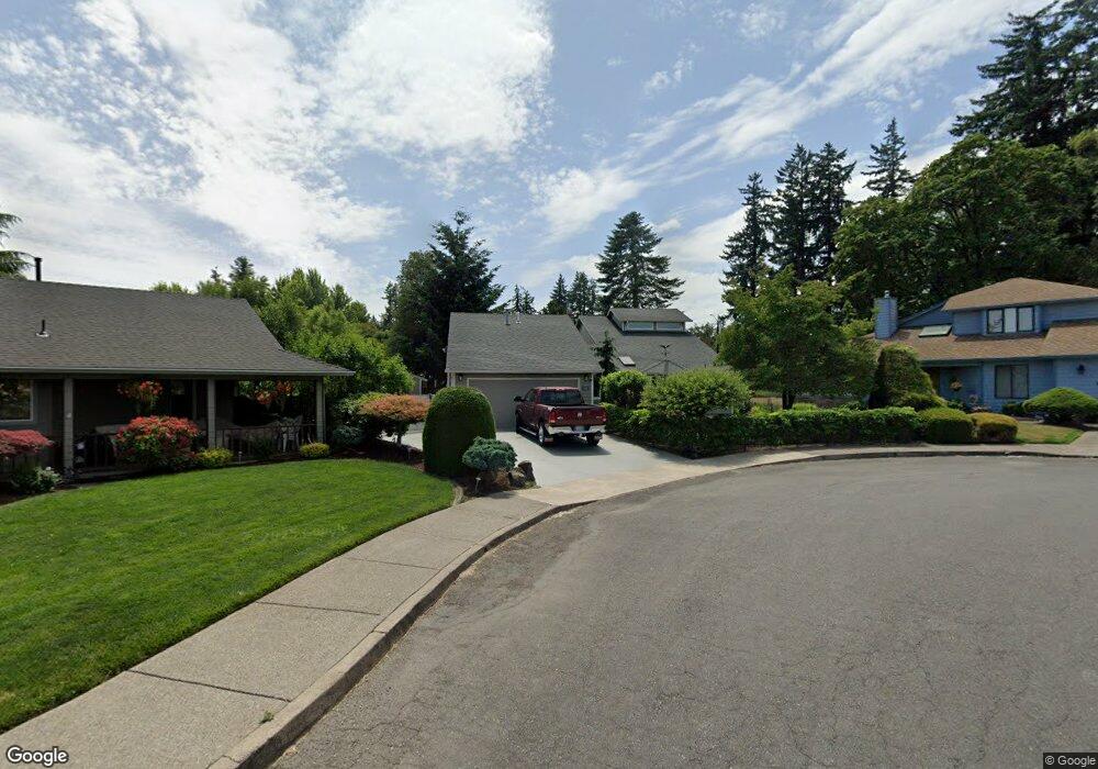
668 Garland Ct N Keizer, OR 97303
Estimated Value: $509,000 - $560,000
1
Bed
2
Baths
2,510
Sq Ft
$216/Sq Ft
Est. Value
About This Home
This home is located at 668 Garland Ct N, Keizer, OR 97303 and is currently estimated at $542,647, approximately $216 per square foot. 668 Garland Ct N is a home located in Marion County with nearby schools including Cummings Elementary School, Claggett Creek Middle School, and McNary High School.
Ownership History
Date
Name
Owned For
Owner Type
Purchase Details
Closed on
Jul 3, 2024
Sold by
Lebold Donald L and Lebold Anna M
Bought by
Lebold Family Trust and Lebold
Current Estimated Value
Purchase Details
Closed on
Dec 14, 2009
Sold by
Lebold Donald L and Lebold Anna M
Bought by
Lebold Donald L and Lebold Anna M
Purchase Details
Closed on
Dec 27, 2007
Sold by
Lebold Donald L and Lebold Anna M
Bought by
Lebold Donald L and Lebold Anna M
Home Financials for this Owner
Home Financials are based on the most recent Mortgage that was taken out on this home.
Original Mortgage
$111,000
Interest Rate
6.15%
Mortgage Type
Stand Alone Refi Refinance Of Original Loan
Purchase Details
Closed on
Jun 5, 2003
Sold by
Lebold Donald L and Lebold Anna M
Bought by
Lebold Donald L and Lebold Anna M
Create a Home Valuation Report for This Property
The Home Valuation Report is an in-depth analysis detailing your home's value as well as a comparison with similar homes in the area
Home Values in the Area
Average Home Value in this Area
Purchase History
| Date | Buyer | Sale Price | Title Company |
|---|---|---|---|
| Lebold Family Trust | -- | None Listed On Document | |
| Lebold Donald L | -- | Amerititle | |
| Lebold Donald L | -- | None Available | |
| Lebold Donald L | -- | Ticor Title | |
| Lebold Donald L | -- | -- |
Source: Public Records
Mortgage History
| Date | Status | Borrower | Loan Amount |
|---|---|---|---|
| Previous Owner | Lebold Donald L | $111,000 |
Source: Public Records
Tax History Compared to Growth
Tax History
| Year | Tax Paid | Tax Assessment Tax Assessment Total Assessment is a certain percentage of the fair market value that is determined by local assessors to be the total taxable value of land and additions on the property. | Land | Improvement |
|---|---|---|---|---|
| 2025 | $5,289 | $319,130 | -- | -- |
| 2024 | $5,289 | $309,840 | -- | -- |
| 2023 | $5,034 | $300,820 | $0 | $0 |
| 2022 | $4,887 | $292,060 | $0 | $0 |
| 2021 | $4,731 | $283,560 | $0 | $0 |
| 2020 | $4,607 | $275,310 | $0 | $0 |
| 2019 | $4,429 | $267,300 | $0 | $0 |
| 2018 | $4,376 | $0 | $0 | $0 |
| 2017 | $3,930 | $0 | $0 | $0 |
| 2016 | $3,766 | $0 | $0 | $0 |
| 2015 | $3,789 | $0 | $0 | $0 |
| 2014 | $3,653 | $0 | $0 | $0 |
Source: Public Records
Map
Nearby Homes
- 359 Apple Blossom Ave N
- 220 Gardenia Dr N Unit 222
- 3297 River Rd N
- 3796 Hart Dr N
- 500 Bever Dr NE
- 1001 Ring St NE Unit 1007
- 132 Sunset Ave N Unit 168
- 530 Larry Ave N
- 1009 Ring St NE Unit 1015
- 211 Sunset Ave N
- 567 Bliler Ave NE
- 3030 River Bend Rd NW
- 3030 Riverbend Rd
- 3774 Homestead Ct NE
- 675 Johnson St NE
- 2635 5th St NE
- 1202 Leo St NE
- 1377 Krysti Ct NE
- 4407 Toni Ave N
- 3515 Brooks Ave NE
- 688 Garland Ct N
- 648 Garland Ct N
- 3420 Willamette Dr N
- 659 Apple Blossom Ave N
- 628 Garland Ct N
- 3410 Willamette Dr N
- 689 Garland Ct N
- 609 Apple Blossom Ave N
- 649 Garland Ct N
- 598 Garland Ct N
- 629 Garland Ct N
- 669 Garland Ct N
- 679 Garland Ct N
- 559 Apple Blossom Ave N
- 558 Garland Ct N
- 3435 Willamette Dr N
- 599 Garland Ct N
- 569 Garland Ct N
- 3390 Willamette Dr N
- 660 Apple Blossom Ave N