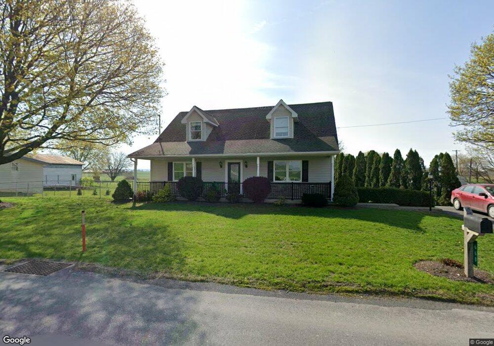
668 Lancaster Ave New Holland, PA 17557
Estimated Value: $371,000 - $395,653
2
Beds
1
Bath
1,188
Sq Ft
$322/Sq Ft
Est. Value
About This Home
This home is located at 668 Lancaster Ave, New Holland, PA 17557 and is currently estimated at $382,413, approximately $321 per square foot. 668 Lancaster Ave is a home located in Lancaster County with nearby schools including Garden Spot Middle School, Garden Spot Senior High School, and Hinkletown Mennonite School.
Ownership History
Date
Name
Owned For
Owner Type
Purchase Details
Closed on
Sep 8, 2023
Sold by
Hollingshead Walter R and Hollingshead Rhonda M
Bought by
Horning Shane B
Current Estimated Value
Home Financials for this Owner
Home Financials are based on the most recent Mortgage that was taken out on this home.
Original Mortgage
$120,000
Outstanding Balance
$117,455
Interest Rate
6.96%
Mortgage Type
New Conventional
Estimated Equity
$264,958
Purchase Details
Closed on
Jun 23, 2009
Sold by
Zimmerman Wendell R and Zimmerman Dawn L
Bought by
Hollingshead Walter R and Hollingshead Rhonda M
Create a Home Valuation Report for This Property
The Home Valuation Report is an in-depth analysis detailing your home's value as well as a comparison with similar homes in the area
Home Values in the Area
Average Home Value in this Area
Purchase History
| Date | Buyer | Sale Price | Title Company |
|---|---|---|---|
| Horning Shane B | $350,000 | None Listed On Document | |
| Hollingshead Walter R | $95,000 | None Available |
Source: Public Records
Mortgage History
| Date | Status | Borrower | Loan Amount |
|---|---|---|---|
| Open | Horning Shane B | $120,000 |
Source: Public Records
Tax History Compared to Growth
Tax History
| Year | Tax Paid | Tax Assessment Tax Assessment Total Assessment is a certain percentage of the fair market value that is determined by local assessors to be the total taxable value of land and additions on the property. | Land | Improvement |
|---|---|---|---|---|
| 2025 | $4,244 | $246,900 | $63,700 | $183,200 |
| 2024 | $4,244 | $246,900 | $63,700 | $183,200 |
| 2023 | $4,180 | $246,900 | $63,700 | $183,200 |
| 2022 | $4,133 | $246,900 | $63,700 | $183,200 |
| 2021 | $4,064 | $246,900 | $63,700 | $183,200 |
| 2020 | $4,064 | $246,900 | $63,700 | $183,200 |
| 2019 | $4,018 | $246,900 | $63,700 | $183,200 |
| 2018 | $960 | $246,900 | $63,700 | $183,200 |
| 2017 | $3,188 | $159,200 | $37,100 | $122,100 |
Source: Public Records
Map
Nearby Homes
- 575 Red Run Rd
- 61 Gentle Dr
- 232 New St
- 200 E Main St
- 205 E Main St
- 412 Linden St
- 420 Linden St
- 133 Millstone Dr
- 111 Oatfield Dr
- 1258 Main St
- 20 N Kinzer Ave
- 210 Musser Rd
- 3 Whitetail Dr
- 148 E Broad St
- 322 Wissler Rd
- 220 Sycamore Ln
- 391 E Jackson St
- 144 W Conestoga St
- 385 Valley View Dr
- 41 Ashlea Village
- 670 Lancaster Ave
- 672 Lancaster Ave
- 674 Lancaster Ave
- 528 White Oak Rd
- 680 Lancaster Ave
- 525 White Oak Rd
- 675 Lancaster Ave
- 681 Lancaster Ave
- 517 White Oak Rd
- 684 Lancaster Ave
- 685 Lancaster Ave
- 578 White Oak Rd
- 515 White Oak Rd
- 687 Lancaster Ave
- 576 Blue Rock Rd
- 992 Lancaster Ave
- 622 White Oak Rd
- 628 White Oak Rd
- 1088 Martindale Rd
- 119 Hurst Rd