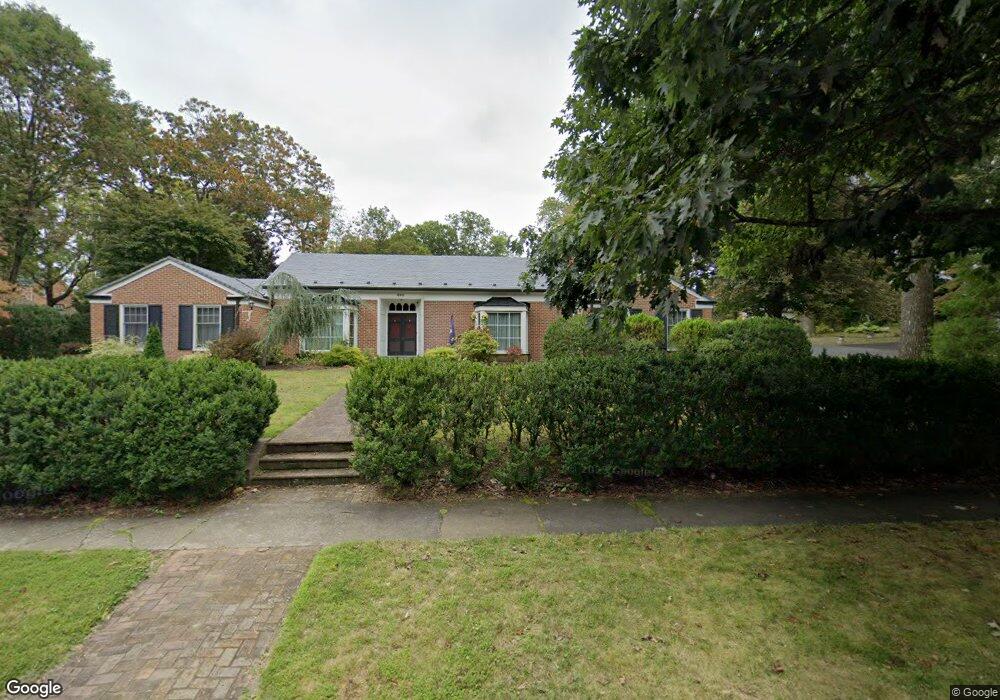
668 Locust Ave Waynesboro, VA 22980
Estimated Value: $504,000 - $683,000
4
Beds
3
Baths
2,785
Sq Ft
$208/Sq Ft
Est. Value
About This Home
This home is located at 668 Locust Ave, Waynesboro, VA 22980 and is currently estimated at $579,034, approximately $207 per square foot. 668 Locust Ave is a home located in Waynesboro City with nearby schools including Berkeley Glenn Elementary School, Kate Collins Middle School, and Waynesboro High School.
Ownership History
Date
Name
Owned For
Owner Type
Purchase Details
Closed on
Sep 23, 2016
Sold by
Bobsin Timothy W and Bobsin Lorin L
Bought by
Hunt Zachary A and Hunt Jennifer B
Current Estimated Value
Home Financials for this Owner
Home Financials are based on the most recent Mortgage that was taken out on this home.
Original Mortgage
$342,000
Outstanding Balance
$273,352
Interest Rate
3.45%
Mortgage Type
Adjustable Rate Mortgage/ARM
Estimated Equity
$305,682
Purchase Details
Closed on
Sep 15, 2008
Sold by
Froehlich Donald K
Bought by
Bobsin Timothy
Home Financials for this Owner
Home Financials are based on the most recent Mortgage that was taken out on this home.
Original Mortgage
$295,000
Interest Rate
6.58%
Mortgage Type
New Conventional
Create a Home Valuation Report for This Property
The Home Valuation Report is an in-depth analysis detailing your home's value as well as a comparison with similar homes in the area
Home Values in the Area
Average Home Value in this Area
Purchase History
| Date | Buyer | Sale Price | Title Company |
|---|---|---|---|
| Hunt Zachary A | $380,000 | Attorney | |
| Bobsin Timothy | $385,000 | -- |
Source: Public Records
Mortgage History
| Date | Status | Borrower | Loan Amount |
|---|---|---|---|
| Open | Hunt Zachary A | $342,000 | |
| Previous Owner | Bobsin Timothy | $295,000 |
Source: Public Records
Tax History Compared to Growth
Tax History
| Year | Tax Paid | Tax Assessment Tax Assessment Total Assessment is a certain percentage of the fair market value that is determined by local assessors to be the total taxable value of land and additions on the property. | Land | Improvement |
|---|---|---|---|---|
| 2025 | $5,063 | $617,400 | $100,000 | $517,400 |
| 2024 | $4,181 | $543,000 | $97,500 | $445,500 |
| 2023 | $4,181 | $543,000 | $97,500 | $445,500 |
| 2022 | $3,974 | $441,500 | $95,000 | $346,500 |
| 2021 | $3,974 | $441,500 | $95,000 | $346,500 |
| 2020 | $3,397 | $377,400 | $95,000 | $282,400 |
| 2019 | $3,397 | $377,400 | $95,000 | $282,400 |
| 2018 | $3,064 | $340,400 | $95,000 | $245,400 |
| 2017 | $2,961 | $340,400 | $95,000 | $245,400 |
| 2016 | $2,653 | $331,600 | $95,000 | $236,600 |
| 2015 | $2,653 | $331,600 | $95,000 | $236,600 |
| 2014 | -- | $305,800 | $80,000 | $225,800 |
| 2013 | -- | $0 | $0 | $0 |
Source: Public Records
Map
Nearby Homes
- 645 Maple Ave
- 548 Pine Ave
- 705 Oak Ave
- 844 Lyndhurst Rd
- 477 Chestnut Ave
- 833 Jefferson Ave
- 1215 W 12th St
- 529 S Linden Ave
- 373 S Magnolia Ave
- 528 Arch Ave
- 407 Crompton Rd
- 1013 Ohio St
- 701 Western Rd
- 636 Rosser Ave
- 1637 Mulberry St
- 812 Meadowbrook Rd
- 252 Port Republic Rd
- 222 James Ave
- 124 Loudoun Ave
- 233 Camden Dr