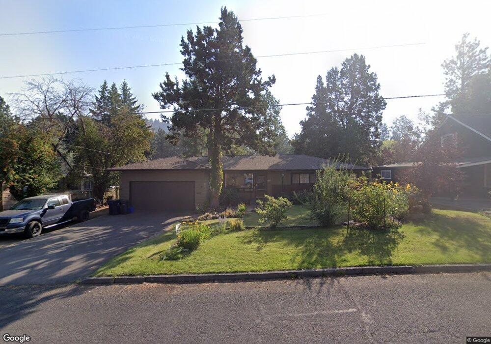
668 NE 10th St Bend, OR 97701
Orchard District NeighborhoodEstimated Value: $537,000 - $618,000
3
Beds
2
Baths
1,339
Sq Ft
$438/Sq Ft
Est. Value
About This Home
This home is located at 668 NE 10th St, Bend, OR 97701 and is currently estimated at $586,574, approximately $438 per square foot. 668 NE 10th St is a home located in Deschutes County with nearby schools including Juniper Elementary School, Bend Senior High School, and The Waldorf School of Bend.
Ownership History
Date
Name
Owned For
Owner Type
Purchase Details
Closed on
Jul 27, 2006
Sold by
Dalrymple Bret
Bought by
Dalrymple Bret S and Dalrymple Tami D
Current Estimated Value
Home Financials for this Owner
Home Financials are based on the most recent Mortgage that was taken out on this home.
Original Mortgage
$105,000
Interest Rate
6.57%
Mortgage Type
Stand Alone Refi Refinance Of Original Loan
Create a Home Valuation Report for This Property
The Home Valuation Report is an in-depth analysis detailing your home's value as well as a comparison with similar homes in the area
Home Values in the Area
Average Home Value in this Area
Purchase History
| Date | Buyer | Sale Price | Title Company |
|---|---|---|---|
| Dalrymple Bret S | -- | Accommodation |
Source: Public Records
Mortgage History
| Date | Status | Borrower | Loan Amount |
|---|---|---|---|
| Closed | Dalrymple Bret S | $105,000 |
Source: Public Records
Tax History Compared to Growth
Tax History
| Year | Tax Paid | Tax Assessment Tax Assessment Total Assessment is a certain percentage of the fair market value that is determined by local assessors to be the total taxable value of land and additions on the property. | Land | Improvement |
|---|---|---|---|---|
| 2025 | $3,334 | $197,350 | -- | -- |
| 2024 | $3,208 | $191,610 | -- | -- |
| 2023 | $2,974 | $186,030 | $0 | $0 |
| 2022 | $2,775 | $175,360 | $0 | $0 |
| 2021 | $2,779 | $170,260 | $0 | $0 |
| 2020 | $2,637 | $170,260 | $0 | $0 |
| 2019 | $2,563 | $165,310 | $0 | $0 |
| 2018 | $2,491 | $160,500 | $0 | $0 |
| 2017 | $2,418 | $155,830 | $0 | $0 |
| 2016 | $2,306 | $151,300 | $0 | $0 |
| 2015 | $2,242 | $146,900 | $0 | $0 |
| 2014 | $2,176 | $142,630 | $0 | $0 |
Source: Public Records
Map
Nearby Homes
- 608 NE 10th St
- 438 NE 9th St
- 845 NE 8th St
- 649 NE Kearney Ave
- 429 NE Irving Ave
- 645 NE Marshall Ave
- 643 NE Marshall Ave
- 1401 NE 10th St
- 970 NE Norton Ave Unit Lot 7
- 717 NE Olney Ct
- 1532 NE 9th St
- 1622 NE Parkridge Dr
- 1630 NE 13th St
- 468 NE Olney Ave
- 3843 NE Petrosa Ave
- 1767 NE Lotus Dr Unit 1 and 2
- 322 SE 5th St
- 1072 NE Parkview Ct
- 1419 NE Lucinda Ct
- 98 NE Telima Ln