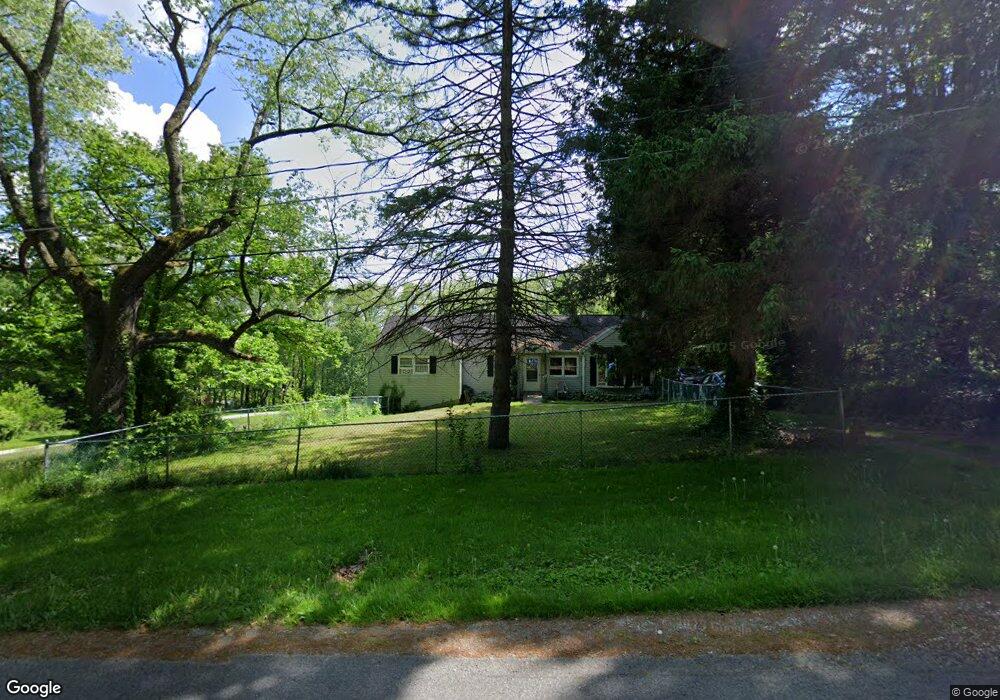
668 Ott Dr Clinton, OH 44216
Estimated Value: $105,000 - $163,000
3
Beds
1
Bath
788
Sq Ft
$172/Sq Ft
Est. Value
About This Home
This home is located at 668 Ott Dr, Clinton, OH 44216 and is currently estimated at $135,540, approximately $172 per square foot. 668 Ott Dr is a home located in Summit County with nearby schools including Manchester Middle School, Nolley Elementary School, and Manchester High School.
Ownership History
Date
Name
Owned For
Owner Type
Purchase Details
Closed on
May 5, 2025
Sold by
Benchmark Properties Of Ohio Ltd
Bought by
Residential Solutions Inc
Current Estimated Value
Purchase Details
Closed on
Mar 5, 2025
Sold by
Sheriff Of Summit County Ohio
Bought by
Benchmark Properties Of Ohio Ltd
Purchase Details
Closed on
Aug 10, 2004
Sold by
Michel Donald R
Bought by
Michel Nancy
Create a Home Valuation Report for This Property
The Home Valuation Report is an in-depth analysis detailing your home's value as well as a comparison with similar homes in the area
Home Values in the Area
Average Home Value in this Area
Purchase History
| Date | Buyer | Sale Price | Title Company |
|---|---|---|---|
| Residential Solutions Inc | $110,100 | None Listed On Document | |
| Benchmark Properties Of Ohio Ltd | $110,100 | None Listed On Document | |
| Michel Nancy | -- | -- |
Source: Public Records
Tax History
| Year | Tax Paid | Tax Assessment Tax Assessment Total Assessment is a certain percentage of the fair market value that is determined by local assessors to be the total taxable value of land and additions on the property. | Land | Improvement |
|---|---|---|---|---|
| 2025 | $1,620 | $41,602 | $11,610 | $29,992 |
| 2024 | $1,620 | $41,602 | $11,610 | $29,992 |
| 2023 | $1,620 | $41,602 | $11,610 | $29,992 |
| 2022 | $1,441 | $31,182 | $8,663 | $22,519 |
| 2021 | $1,446 | $31,182 | $8,663 | $22,519 |
| 2020 | $1,421 | $31,180 | $8,660 | $22,520 |
| 2019 | $1,376 | $28,200 | $8,660 | $19,540 |
| 2018 | $1,187 | $28,200 | $8,660 | $19,540 |
| 2017 | $1,067 | $28,200 | $8,660 | $19,540 |
| 2016 | $1,055 | $24,580 | $8,660 | $15,920 |
| 2015 | $1,067 | $24,580 | $8,660 | $15,920 |
| 2014 | $1,059 | $24,580 | $8,660 | $15,920 |
| 2013 | $1,179 | $26,440 | $8,660 | $17,780 |
Source: Public Records
Map
Nearby Homes
- 6407 Southview Dr
- 402 Yager Rd
- 0 W Comet Rd Unit 5079117
- 6235 Manchester Rd
- 0 Babst Ave NW
- 6090 Manchester Rd Unit 6096
- 8690 Elmfield St NW
- 8524 Manchester Ave NW
- 1420 Trails End Dr
- 6775 Grove Rd
- 781 Leeman Dr
- 715 Highland Park Dr
- 8618 Turnstone Cir NW
- 789 Meadow View Dr NW
- 765 Goodland Ave NW
- 8470 Shadyview Ave NW
- 700 Denshire Dr NW
- 7651 Brownwood Ave NW
- 460 Layden Ave
- 5042 Laddie Dr
Your Personal Tour Guide
Ask me questions while you tour the home.