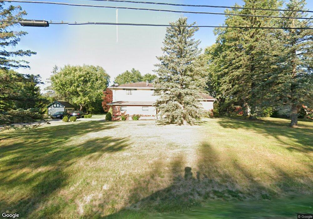
668 Ransom Rd Lancaster, NY 14086
Estimated Value: $390,000 - $471,000
3
Beds
2
Baths
2,201
Sq Ft
$190/Sq Ft
Est. Value
About This Home
This home is located at 668 Ransom Rd, Lancaster, NY 14086 and is currently estimated at $419,002, approximately $190 per square foot. 668 Ransom Rd is a home located in Erie County with nearby schools including William Street School, Lancaster Middle School, and Lancaster High School.
Ownership History
Date
Name
Owned For
Owner Type
Purchase Details
Closed on
Nov 1, 2016
Sold by
Rydzynski Anthony J and Rydzynski Antoinette M
Bought by
Mohn Karen A and Pajak Lynne
Current Estimated Value
Purchase Details
Closed on
Jul 30, 2013
Sold by
Bundy Brian N Brian N
Bought by
Speyer Robert J Robert J
Purchase Details
Closed on
Mar 9, 2006
Sold by
Rydzynski Antoinette M
Bought by
Rydzynski Anthony J and Rydzynski Antoinette M
Purchase Details
Closed on
Mar 1, 2001
Sold by
Rydzynski Anthony J and Rydzynski Antoinette M
Bought by
Rydzynski Antoinette M
Create a Home Valuation Report for This Property
The Home Valuation Report is an in-depth analysis detailing your home's value as well as a comparison with similar homes in the area
Home Values in the Area
Average Home Value in this Area
Purchase History
| Date | Buyer | Sale Price | Title Company |
|---|---|---|---|
| Mohn Karen A | -- | None Available | |
| Speyer Robert J Robert J | $59,900 | -- | |
| Rydzynski Anthony J | -- | None Available | |
| Rydzynski Antoinette M | -- | -- |
Source: Public Records
Tax History
| Year | Tax Paid | Tax Assessment Tax Assessment Total Assessment is a certain percentage of the fair market value that is determined by local assessors to be the total taxable value of land and additions on the property. | Land | Improvement |
|---|---|---|---|---|
| 2024 | $6,531 | $247,000 | $49,500 | $197,500 |
| 2023 | $6,531 | $247,000 | $49,500 | $197,500 |
| 2022 | $6,364 | $247,000 | $49,500 | $197,500 |
| 2021 | $6,282 | $247,000 | $49,500 | $197,500 |
| 2020 | $5,144 | $247,000 | $49,500 | $197,500 |
| 2019 | $4,287 | $172,000 | $39,300 | $132,700 |
| 2018 | $4,430 | $172,000 | $39,300 | $132,700 |
| 2017 | $2,361 | $172,000 | $39,300 | $132,700 |
| 2016 | $4,312 | $172,000 | $39,300 | $132,700 |
| 2015 | -- | $172,000 | $39,300 | $132,700 |
| 2014 | -- | $172,000 | $39,300 | $132,700 |
Source: Public Records
Map
Nearby Homes
- 731 Ransom Rd
- 0 V L Ransom Lot 1 Unit B1664378
- 2099 Town Line Rd
- 0 V L Ransom Lot 2 Unit B1664383
- 0 V L Ransom Lot 3 Unit B1664384
- 11086 Jane Dr
- 6218 Broadway St
- 2241 Town Line Rd
- 145 William Kidder Rd
- v/l William St N
- 5924 Broadway St
- 11076 Westwood Rd
- 5502 William St
- 6 Fieldstream Ln
- 30 Sedge Run
- 11 Cemetery Rd
- 24 Sedge Run
- 5472 William St
- 4 Fieldstream Ln
- 5869 Broadway St
Your Personal Tour Guide
Ask me questions while you tour the home.