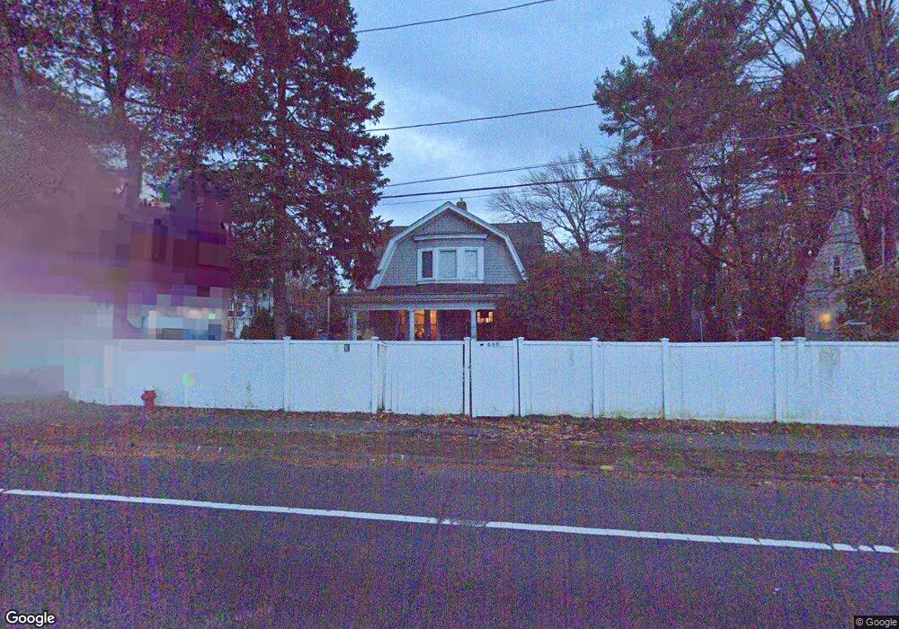
668 Worcester St Wellesley, MA 02482
Estimated Value: $1,147,606
3
Beds
2
Baths
1,619
Sq Ft
$709/Sq Ft
Est. Value
About This Home
This home is located at 668 Worcester St, Wellesley, MA 02482 and is currently estimated at $1,147,606, approximately $708 per square foot. 668 Worcester St is a home located in Norfolk County with nearby schools including Sprague Elementary School, Wellesley Middle School, and Wellesley Sr High School.
Ownership History
Date
Name
Owned For
Owner Type
Purchase Details
Closed on
May 25, 2011
Sold by
Aeneas Reo Llc
Bought by
Elevation Chapel
Current Estimated Value
Home Financials for this Owner
Home Financials are based on the most recent Mortgage that was taken out on this home.
Original Mortgage
$371,250
Outstanding Balance
$258,713
Interest Rate
4.94%
Mortgage Type
Commercial
Estimated Equity
$894,786
Purchase Details
Closed on
Dec 21, 2010
Sold by
Deeb Nagila H and Foley Elizabeth D
Bought by
Aeneas Reo Llc
Home Financials for this Owner
Home Financials are based on the most recent Mortgage that was taken out on this home.
Original Mortgage
$210,000
Interest Rate
4.23%
Mortgage Type
Commercial
Create a Home Valuation Report for This Property
The Home Valuation Report is an in-depth analysis detailing your home's value as well as a comparison with similar homes in the area
Purchase History
| Date | Buyer | Sale Price | Title Company |
|---|---|---|---|
| Elevation Chapel | $495,000 | -- | |
| Aeneas Reo Llc | $300,000 | -- |
Source: Public Records
Mortgage History
| Date | Status | Borrower | Loan Amount |
|---|---|---|---|
| Open | Elevation Chapel | $371,250 | |
| Previous Owner | Aeneas Reo Llc | $210,000 |
Source: Public Records
Tax History
| Year | Tax Paid | Tax Assessment Tax Assessment Total Assessment is a certain percentage of the fair market value that is determined by local assessors to be the total taxable value of land and additions on the property. | Land | Improvement |
|---|---|---|---|---|
| 2025 | -- | $890,000 | $732,000 | $158,000 |
| 2024 | -- | $820,000 | $666,000 | $154,000 |
| 2023 | $0 | $649,000 | $511,000 | $138,000 |
| 2022 | $0 | $638,000 | $473,000 | $165,000 |
| 2021 | $0 | $617,000 | $452,000 | $165,000 |
| 2020 | $0 | $573,000 | $420,000 | $153,000 |
| 2019 | $0 | $554,000 | $401,000 | $153,000 |
| 2018 | $0 | $544,000 | $426,000 | $118,000 |
| 2017 | $0 | $544,000 | $426,000 | $118,000 |
| 2016 | -- | $532,000 | $418,000 | $114,000 |
| 2015 | -- | $476,000 | $368,000 | $108,000 |
Source: Public Records
Map
Nearby Homes
- 16 Stearns Rd Unit 207
- 16 Stearns Rd Unit 106
- 16 Stearns Rd Unit 304
- 16 Stearns Rd Unit 104
- 18 Sprague Rd
- 63 Oak St Unit B
- 81 Audubon Rd
- 201 Lowell Rd
- 11 Oak St Unit 43
- 26B Pleasant St Unit B
- 34 Pleasant St Unit 5
- 16 Oak St
- 45 Kingsbury St
- 138 Lowell Rd
- 241 Lowell Rd
- 29 Pinewood Rd
- 40 Pinewood Rd
- 25 Mansfield Rd
- 71 Westgate Rd
- 100 Linden St Unit 111
- 666 Worcester St
- 670 Worcester St
- 670 Worcester St Unit 1
- 664 Worcester St
- 664 Worcester St Unit 2
- 664 Worcester St Unit 1
- 2 Francis Rd Unit 1
- 2 Francis Rd
- 671 Worcester St
- 676 Worcester St
- 3 Francis Rd
- 675 Worcester St
- 4 Roberts Rd
- 9 Massachusetts 9 Unit 5
- 5 Stearns Rd
- 8 Roberts Rd
- 6 Francis Rd
- 3 Stearns Rd
- 9 Stearns Rd
- 10 Roberts Rd
Your Personal Tour Guide
Ask me questions while you tour the home.