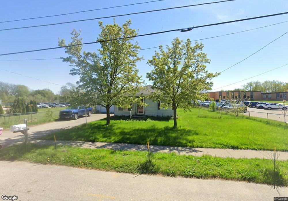
6680 12th Ave Jenison, MI 49428
Estimated Value: $215,000 - $232,000
2
Beds
1
Bath
906
Sq Ft
$251/Sq Ft
Est. Value
About This Home
This home is located at 6680 12th Ave, Jenison, MI 49428 and is currently estimated at $227,052, approximately $250 per square foot. 6680 12th Ave is a home located in Ottawa County with nearby schools including Bursley School, Jenison Junior High School, and Jenison High School.
Ownership History
Date
Name
Owned For
Owner Type
Purchase Details
Closed on
Apr 29, 2011
Sold by
Wolters Robert and Wolters Mildred
Bought by
Vosburg Joshua O
Current Estimated Value
Home Financials for this Owner
Home Financials are based on the most recent Mortgage that was taken out on this home.
Original Mortgage
$63,839
Outstanding Balance
$44,345
Interest Rate
4.87%
Mortgage Type
FHA
Estimated Equity
$182,707
Purchase Details
Closed on
Aug 17, 2010
Sold by
The Bank Of New York Mellon
Bought by
Wolters Robert
Purchase Details
Closed on
Jan 14, 2010
Sold by
Docter Jodie L
Bought by
The Bank Of New York Mellon
Purchase Details
Closed on
Nov 1, 2004
Sold by
Kaufman Robert and Kaufman Kathleen Joyc
Bought by
Docter Jodie L
Home Financials for this Owner
Home Financials are based on the most recent Mortgage that was taken out on this home.
Original Mortgage
$99,000
Interest Rate
5.37%
Mortgage Type
New Conventional
Create a Home Valuation Report for This Property
The Home Valuation Report is an in-depth analysis detailing your home's value as well as a comparison with similar homes in the area
Home Values in the Area
Average Home Value in this Area
Purchase History
| Date | Buyer | Sale Price | Title Company |
|---|---|---|---|
| Vosburg Joshua O | $65,500 | None Available | |
| Wolters Robert | $55,000 | Attorneys Title Agency Llc | |
| The Bank Of New York Mellon | $67,500 | None Available | |
| Docter Jodie L | $110,000 | -- |
Source: Public Records
Mortgage History
| Date | Status | Borrower | Loan Amount |
|---|---|---|---|
| Open | Vosburg Joshua O | $63,839 | |
| Previous Owner | Docter Jodie L | $99,000 |
Source: Public Records
Tax History Compared to Growth
Tax History
| Year | Tax Paid | Tax Assessment Tax Assessment Total Assessment is a certain percentage of the fair market value that is determined by local assessors to be the total taxable value of land and additions on the property. | Land | Improvement |
|---|---|---|---|---|
| 2025 | $1,081 | $90,600 | $0 | $0 |
| 2024 | $10 | $90,500 | $0 | $0 |
| 2023 | $992 | $83,600 | $0 | $0 |
| 2022 | $1,089 | $75,800 | $0 | $0 |
| 2021 | $1,057 | $68,200 | $0 | $0 |
| 2020 | $1,046 | $58,300 | $0 | $0 |
| 2019 | $1,046 | $57,800 | $0 | $0 |
| 2018 | $976 | $49,900 | $0 | $0 |
| 2017 | $959 | $47,800 | $0 | $0 |
| 2016 | $953 | $45,100 | $0 | $0 |
| 2015 | $910 | $43,800 | $0 | $0 |
| 2014 | $910 | $34,700 | $0 | $0 |
Source: Public Records
Map
Nearby Homes
- 1520 Winifred St
- 1109 Fairfield Dr
- 6374 Clover Ln
- 674 Waterview Ct SW Unit 26
- 1049 Fairfield Dr Unit 49
- 6501 Andre's Crossing Unit 14
- 7234 Sunset Ave
- 1519 Eagle Shore Court Plan at Glen Eagle Shores
- 1519 Eagle Shore Ct
- 6835 Kay Boer Dr
- 5954 Gleneagle Dr
- 1034 Castlebay Way Unit 16
- 1036 Castlebay Way Unit 17
- 7425 Boulder Bluff Dr Unit 112
- 925 Parsons St SW
- 776 Chancellor Dr SW
- 1025 Parsons St
- 7373 Pinegrove Dr Unit 109
- 6029 Hillsborough Ct SW
- 7528 Pinegrove Dr
- 6668 12th Ave
- 4152 12th Ave
- 6656 12th Ave
- 6691 12th Ave
- 0 N Marymark Dr Unit PAR B
- 6671 12th Ave
- 1232 N Marymark Dr
- 6723 12th Ave
- 1195 Port Sheldon St
- 1233 S Marymark Dr
- 1231 N Marymark Dr
- 1238 N Marymark Dr
- 1212 S Marymark Dr
- 6725 12th Ave
- 6725 12th Ave Unit 6727
- 1243 N Marymark Dr
- 1228 S Marymark Dr
- 1157 Port Sheldon St
- 1256 N Marymark Dr
- 1145 Port Sheldon St