Estimated Value: $229,000 - $322,000
Studio
--
Bath
--
Sq Ft
23,087
Sq Ft Lot
About This Home
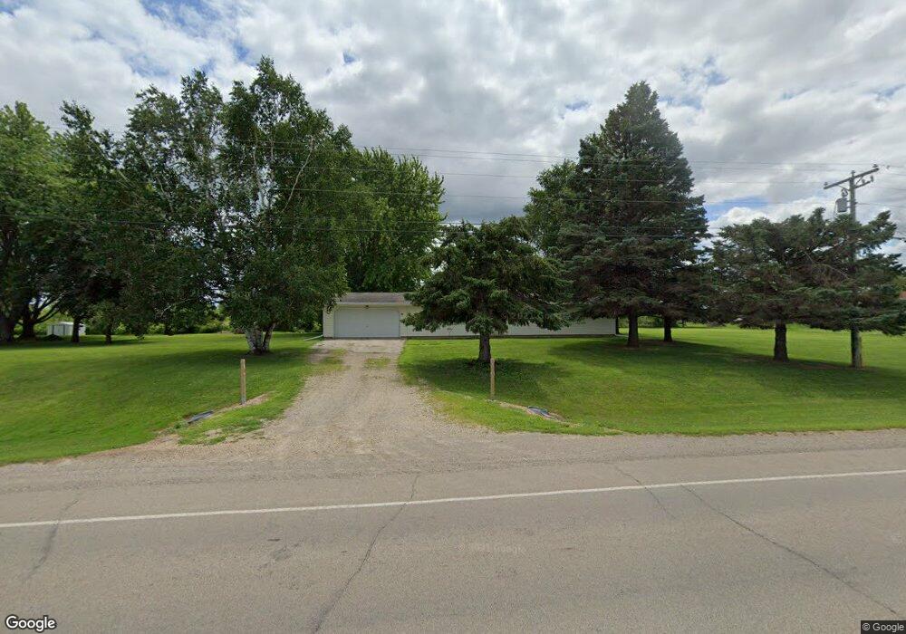
This home is located at 6681 County Rd E, Omro, WI 54963 and is currently estimated at $267,939. 6681 County Rd E is a home located in Winnebago County with nearby schools including Patch Elementary School, Omro Elementary School, and Omro Middle School.
Ownership History
Date
Name
Owned For
Owner Type
Purchase Details
Closed on
Apr 13, 2017
Sold by
Cartwright Paula M
Bought by
Coe Michael J and Coe Lynn R
Current Estimated Value
Home Financials for this Owner
Home Financials are based on the most recent Mortgage that was taken out on this home.
Original Mortgage
$107,100
Outstanding Balance
$88,912
Interest Rate
4.21%
Mortgage Type
New Conventional
Estimated Equity
$179,027
Create a Home Valuation Report for This Property
The Home Valuation Report is an in-depth analysis detailing your home's value as well as a comparison with similar homes in the area
Purchase History
| Date | Buyer | Sale Price | Title Company |
|---|---|---|---|
| Coe Michael J | $119,000 | None Available |
Source: Public Records
Mortgage History
| Date | Status | Borrower | Loan Amount |
|---|---|---|---|
| Open | Coe Michael J | $107,100 |
Source: Public Records
Tax History
| Year | Tax Paid | Tax Assessment Tax Assessment Total Assessment is a certain percentage of the fair market value that is determined by local assessors to be the total taxable value of land and additions on the property. | Land | Improvement |
|---|---|---|---|---|
| 2024 | $1,889 | $139,700 | $19,600 | $120,100 |
| 2023 | $1,678 | $139,700 | $19,600 | $120,100 |
| 2022 | $1,629 | $130,300 | $19,600 | $110,700 |
| 2021 | $1,572 | $130,300 | $19,600 | $110,700 |
| 2020 | $1,860 | $115,500 | $12,200 | $103,300 |
| 2019 | $1,719 | $115,500 | $12,200 | $103,300 |
| 2018 | $1,819 | $115,500 | $12,200 | $103,300 |
| 2017 | $1,813 | $115,500 | $12,200 | $103,300 |
| 2016 | $1,776 | $115,500 | $12,200 | $103,300 |
| 2015 | $1,785 | $115,500 | $12,200 | $103,300 |
| 2014 | -- | $115,500 | $12,200 | $103,300 |
| 2013 | -- | $115,500 | $12,200 | $103,300 |
Source: Public Records
Map
Nearby Homes
- 0 County Rd E Unit 50318875
- 861 Carissa Ct
- 730 E Scott St
- 351 E Scott St
- 224 E Scott St
- 613 Mckinley Ave
- 336 Mckinley Ave
- 523 Michigan St
- 320 Lincoln Ave
- 651 E River Dr
- 5987 County Rd E
- 336 Wintergreen Dr
- 0 Poygan Rd
- 5866 State Road 91
- 1 Reighmoor Rd
- 5340 Wisconsin 21
- 0 Broderick Rd
- 5316 Cornhusk Ln
- 5304 Fenceline Ln
- 5289 Cornhusk Ln
- 2292 Harrison Ave
- 6665 County Rd E
- 6639 County Rd E
- 3489 Bradley Rd
- 3411 Bradley Rd
- 6631 County Rd E
- 3400 Bradley Rd
- 3456 Bradley Rd
- 2089 Harrison Ave
- 2191 Harrison Ave
- 2285 Harrison Ave
- 2151 Harrison Ave
- 6619 County Rd E
- 3376 Bradley Rd
- 6755 County Rd E
- 3375 Bradley Rd
- 6763 County Rd E
- 0 County Rd E Unit 50293039
- 0 County Rd E Unit 50270030
- 6777 County Rd E
Your Personal Tour Guide
Ask me questions while you tour the home.