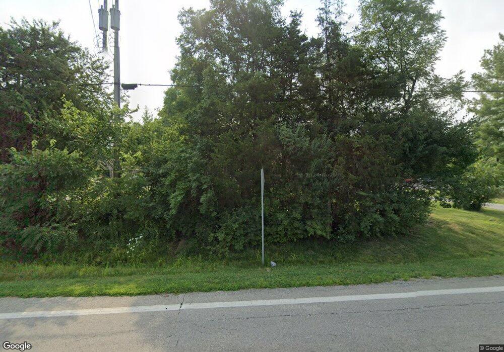
6682 State Route 132 Goshen, OH 45122
Estimated Value: $332,000 - $465,000
4
Beds
2
Baths
2,800
Sq Ft
$136/Sq Ft
Est. Value
About This Home
This home is located at 6682 State Route 132, Goshen, OH 45122 and is currently estimated at $381,169, approximately $136 per square foot. 6682 State Route 132 is a home located in Clermont County with nearby schools including Marr/Cook Elementary School, Spaulding Elementary School, and Goshen Middle School.
Ownership History
Date
Name
Owned For
Owner Type
Purchase Details
Closed on
Jan 6, 2022
Sold by
Lutz Eric N and Lutz Cynthia G
Bought by
Green Dennis Lee and Green Kathryn C
Current Estimated Value
Home Financials for this Owner
Home Financials are based on the most recent Mortgage that was taken out on this home.
Original Mortgage
$247,474
Outstanding Balance
$228,108
Interest Rate
3.12%
Mortgage Type
New Conventional
Estimated Equity
$153,061
Purchase Details
Closed on
Jun 3, 1991
Create a Home Valuation Report for This Property
The Home Valuation Report is an in-depth analysis detailing your home's value as well as a comparison with similar homes in the area
Home Values in the Area
Average Home Value in this Area
Purchase History
| Date | Buyer | Sale Price | Title Company |
|---|---|---|---|
| Green Dennis Lee | $245,000 | Thomson Douglas W | |
| -- | $11,000 | -- |
Source: Public Records
Mortgage History
| Date | Status | Borrower | Loan Amount |
|---|---|---|---|
| Open | Green Dennis Lee | $247,474 |
Source: Public Records
Tax History Compared to Growth
Tax History
| Year | Tax Paid | Tax Assessment Tax Assessment Total Assessment is a certain percentage of the fair market value that is determined by local assessors to be the total taxable value of land and additions on the property. | Land | Improvement |
|---|---|---|---|---|
| 2024 | $3,712 | $83,230 | $16,380 | $66,850 |
| 2023 | $3,597 | $83,230 | $16,380 | $66,850 |
| 2022 | $2,907 | $59,190 | $11,660 | $47,530 |
| 2021 | $2,924 | $59,190 | $11,660 | $47,530 |
| 2020 | $2,732 | $59,190 | $11,660 | $47,530 |
| 2019 | $2,656 | $55,230 | $11,060 | $44,170 |
| 2018 | $2,668 | $55,230 | $11,060 | $44,170 |
| 2017 | $2,498 | $55,230 | $11,060 | $44,170 |
| 2016 | $2,498 | $48,450 | $9,700 | $38,750 |
| 2015 | $2,254 | $48,450 | $9,700 | $38,750 |
| 2014 | $2,254 | $48,450 | $9,700 | $38,750 |
| 2013 | $2,253 | $50,550 | $9,700 | $40,850 |
Source: Public Records
Map
Nearby Homes
- 1868 Kirbett Rd
- 6677 Wood St
- 6490 Tralee Ln
- 2213 Ohio 132
- 1775 E Huntley Rd
- 2045 Irwin Cemetery Ln
- 1947 Main St
- 2005 Pebble Grove Way
- 1811 Louis Ln
- 2113 Shallow Cove Ct
- 2103 Shallow Cove Ct
- Jensen Plan at Pebble Grove - Maple Street Collection
- Charles Plan at Pebble Grove - Designer Collection
- Avery Plan at Pebble Grove - Designer Collection
- Yosemite Plan at Pebble Grove - Maple Street Collection
- Fairfax Plan at Pebble Grove - Maple Street Collection
- Breckenridge Plan at Pebble Grove - Maple Street Collection
- Wyatt Plan at Pebble Grove - Designer Collection
- Cumberland Plan at Pebble Grove - Maple Street Collection
- Wesley Plan at Pebble Grove - Maple Street Collection
- 6686 State Route 132
- 6686 Ohio 132
- 6662 State Route 132
- 6709 State Route 132
- 6709 State Route 132
- 6705 St Rt 132
- 6705 State Route 132
- 6691 Ohio 132
- 6691 State Route 132
- 6685 State Route 132
- 6685 State Route 132
- 6685 Ohio 132
- 6703 State Route 132
- 6654 State Route 132
- 6681 State Route 132
- 6646 State Route 132
- 1894 Kirbett Rd
- 1892 Kirbett Rd
- 1817 State Route 28
- 6722 Ohio 132 Unit B
