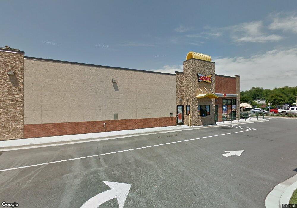
6685 Crain Hwy La Plata, MD 20646
Estimated Value: $2,101,748
--
Bed
--
Bath
960
Sq Ft
$2,189/Sq Ft
Est. Value
About This Home
This home is located at 6685 Crain Hwy, La Plata, MD 20646 and is currently estimated at $2,101,748, approximately $2,189 per square foot. 6685 Crain Hwy is a home located in Charles County with nearby schools including Walter J. Mitchell Elementary School, Milton M. Somers Middle School, and Maurice J. McDonough High School.
Ownership History
Date
Name
Owned For
Owner Type
Purchase Details
Closed on
Apr 28, 2022
Sold by
Mpi-Lp-Somar Llc
Bought by
Cft Nv Developments Llc
Current Estimated Value
Purchase Details
Closed on
May 27, 2016
Sold by
Blue Laplata Llc
Bought by
Mpi Lp Somar Llc
Purchase Details
Closed on
Dec 21, 2012
Sold by
Blue Star Development Company Inc
Bought by
Blue Laplata Llc
Home Financials for this Owner
Home Financials are based on the most recent Mortgage that was taken out on this home.
Original Mortgage
$112,109
Interest Rate
3.35%
Mortgage Type
Commercial
Create a Home Valuation Report for This Property
The Home Valuation Report is an in-depth analysis detailing your home's value as well as a comparison with similar homes in the area
Home Values in the Area
Average Home Value in this Area
Purchase History
| Date | Buyer | Sale Price | Title Company |
|---|---|---|---|
| Cft Nv Developments Llc | $1,900,000 | Stewart Title Guaranty Company | |
| Cft Nv Developments Llc | $1,900,000 | Stewart Title Guaranty Company | |
| Mpi Lp Somar Llc | $1,550,000 | Multiple | |
| Blue Laplata Llc | $525,000 | Robert W Moses Title Inc |
Source: Public Records
Mortgage History
| Date | Status | Borrower | Loan Amount |
|---|---|---|---|
| Previous Owner | Blue Laplata Llc | $112,109 | |
| Previous Owner | Blue Laplata Llc | $460,000 |
Source: Public Records
Tax History Compared to Growth
Tax History
| Year | Tax Paid | Tax Assessment Tax Assessment Total Assessment is a certain percentage of the fair market value that is determined by local assessors to be the total taxable value of land and additions on the property. | Land | Improvement |
|---|---|---|---|---|
| 2025 | $59,600 | $1,929,800 | $389,900 | $1,539,900 |
| 2024 | $29,458 | $1,929,800 | $389,900 | $1,539,900 |
| 2023 | $36,404 | $2,081,400 | $389,900 | $1,691,500 |
| 2022 | $28,462 | $1,902,100 | $0 | $0 |
| 2021 | $51,592 | $1,722,800 | $0 | $0 |
| 2020 | $23,193 | $1,543,500 | $389,900 | $1,153,600 |
| 2019 | $20,927 | $1,387,400 | $0 | $0 |
| 2018 | $16,216 | $1,231,300 | $0 | $0 |
| 2017 | $9,939 | $1,075,200 | $0 | $0 |
| 2016 | -- | $660,100 | $0 | $0 |
| 2015 | $15,683 | $672,833 | $0 | $0 |
| 2014 | $15,683 | $1,003,500 | $0 | $0 |
Source: Public Records
Map
Nearby Homes
- 107 Howard St
- 45 Hibiscus Ct
- 6 Gramby Ct
- 9 Gramby Ct
- 203 Port Tobacco Rd
- 110 Quail Ct
- Lot 241 Washington
- The Adelina Plan at Fischer's Grant
- The Willow Plan at Fischer's Grant
- The Westminster Plan at Fischer's Grant
- The Somerset Plan at Fischer's Grant
- The Lancaster Plan at Fischer's Grant
- The Belmont Plan at Fischer's Grant
- The Glenwood Plan at Fischer's Grant
- The Oxford Plan at Fischer's Grant
- The Brentwood Plan at Fischer's Grant
- The Hampton Plan at Fischer's Grant
- The Fairfax Plan at Fischer's Grant
- The Ashland Plan at Fischer's Grant
- The Winchester Plan at Fischer's Grant
- 3 Port Tobacco Rd
- 6705 Crain Hwy
- 101 E Charles St
- 101 E Charles St Unit 206
- 101 E Charles St Unit 300
- 101 E Charles St Unit 200
- 101 E Charles St Unit 208
- 101 E Charles St Unit 202
- 101 E Charles St Unit 214
- 101 E Charles St Unit 106
- 101 E Charles St Unit 104
- 101 E Charles St Unit 312
- 101 E Charles St Unit 204
- 101 E Charles St Unit 212
- 101 E Charles St Unit 210
- 101 SUITE 302 E Charles St
- 6700 Crain Hwy
- 6649 Crain Hwy
- 6720 Crain Hwy
- 100 Wesley Dr