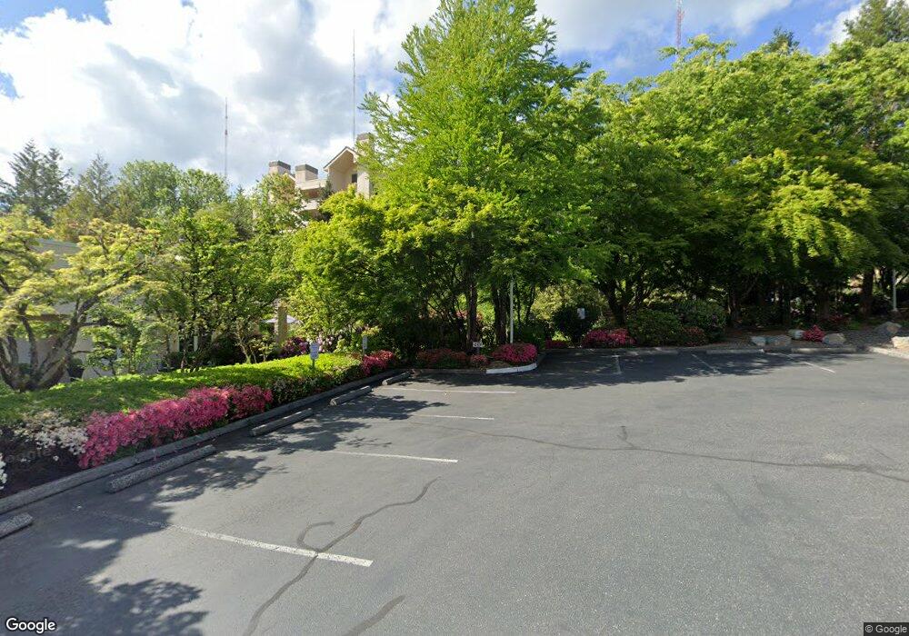
6685 W Burnside Rd Unit 352 Portland, OR 97210
Estimated Value: $307,000 - $350,000
2
Beds
2
Baths
1,062
Sq Ft
$310/Sq Ft
Est. Value
About This Home
This home is located at 6685 W Burnside Rd Unit 352, Portland, OR 97210 and is currently estimated at $329,328, approximately $310 per square foot. 6685 W Burnside Rd Unit 352 is a home located in Washington County with nearby schools including West Tualatin View Elementary School, Cedar Park Middle School, and Beaverton High School.
Ownership History
Date
Name
Owned For
Owner Type
Purchase Details
Closed on
Apr 23, 2015
Sold by
Kern Thomas R and Kern Sonya L
Bought by
Nojima Tamio and Nojima Yukimi
Current Estimated Value
Home Financials for this Owner
Home Financials are based on the most recent Mortgage that was taken out on this home.
Original Mortgage
$150,000
Outstanding Balance
$114,842
Interest Rate
3.67%
Mortgage Type
New Conventional
Estimated Equity
$214,486
Purchase Details
Closed on
Nov 6, 2012
Sold by
Gray Harvey V
Bought by
Kern Thomas R and Kern Sonya L
Purchase Details
Closed on
Oct 31, 1995
Sold by
Cascade Estates Corp
Bought by
Gray Harvey V
Home Financials for this Owner
Home Financials are based on the most recent Mortgage that was taken out on this home.
Original Mortgage
$105,500
Interest Rate
7.59%
Mortgage Type
Seller Take Back
Create a Home Valuation Report for This Property
The Home Valuation Report is an in-depth analysis detailing your home's value as well as a comparison with similar homes in the area
Home Values in the Area
Average Home Value in this Area
Purchase History
| Date | Buyer | Sale Price | Title Company |
|---|---|---|---|
| Nojima Tamio | $300,000 | Wfg Title | |
| Kern Thomas R | $189,900 | Lawyers Title | |
| Gray Harvey V | $125,500 | Oregon Title Insurance Co |
Source: Public Records
Mortgage History
| Date | Status | Borrower | Loan Amount |
|---|---|---|---|
| Open | Nojima Tamio | $150,000 | |
| Previous Owner | Gray Harvey V | $105,500 |
Source: Public Records
Tax History Compared to Growth
Tax History
| Year | Tax Paid | Tax Assessment Tax Assessment Total Assessment is a certain percentage of the fair market value that is determined by local assessors to be the total taxable value of land and additions on the property. | Land | Improvement |
|---|---|---|---|---|
| 2026 | $5,386 | $309,560 | -- | -- |
| 2025 | $5,386 | $300,550 | -- | -- |
| 2024 | $5,111 | $291,800 | -- | -- |
| 2023 | $5,111 | $283,310 | $0 | $0 |
| 2022 | $4,945 | $283,310 | $0 | $0 |
| 2021 | $4,738 | $267,050 | $0 | $0 |
| 2020 | $4,624 | $259,280 | $0 | $0 |
| 2019 | $4,473 | $251,730 | $0 | $0 |
| 2018 | $4,326 | $244,400 | $0 | $0 |
| 2017 | $4,171 | $237,290 | $0 | $0 |
| 2016 | $4,022 | $230,380 | $0 | $0 |
| 2015 | $3,856 | $223,670 | $0 | $0 |
| 2014 | -- | $181,170 | $0 | $0 |
Source: Public Records
Map
Nearby Homes
- 6665 W Burnside Rd Unit 410
- 6665 W Burnside Rd Unit 447
- 6685 W Burnside St Unit 350
- 6685 W Burnside St Unit 324
- 6645 W Burnside Rd Unit 550
- 6625 W Burnside St Unit 250
- 6605 W Burnside Rd Unit 152
- 6605 W Burnside St Unit 131
- 6827 SW Windemere Loop
- 6865 SW Windemere Loop
- 262 NW Royal Blvd
- 6103 SW Salmon St
- 5912 SW Yamhill St
- 0 W Side 841 Nw Greenlea Rd Unit 24522408
- 1503 SW 61st Dr
- 5720-5724 SW Barnes Rd
- 6371 NW Winston Dr
- 955 SW Summit View Dr
- 8588 SW Summit Ct
- 0 SW Ascot Ct
- 6685 W Burnside Rd Unit 325
- 6685 W Burnside Rd Unit 332
- 6685 W Burnside Rd
- 6685 W Burnside Rd Unit 353
- 6685 W Burnside Rd
- 6685 W Burnside Rd
- 6685 W Burnside Rd
- 6685 W Burnside Rd
- 6685 W Burnside Rd Unit 345
- 6685 W Burnside Rd Unit 344
- 6685 W Burnside Rd
- 6685 W Burnside Rd Unit 342
- 6685 W Burnside Rd Unit 341
- 6685 W Burnside Rd Unit 340
- 6685 W Burnside Rd Unit 338
- 6685 W Burnside Rd Unit 337
- 6685 W Burnside Rd Unit 336
- 6685 W Burnside Rd Unit 335
- 6685 W Burnside Rd Unit 334
- 6685 W Burnside Rd Unit 333
