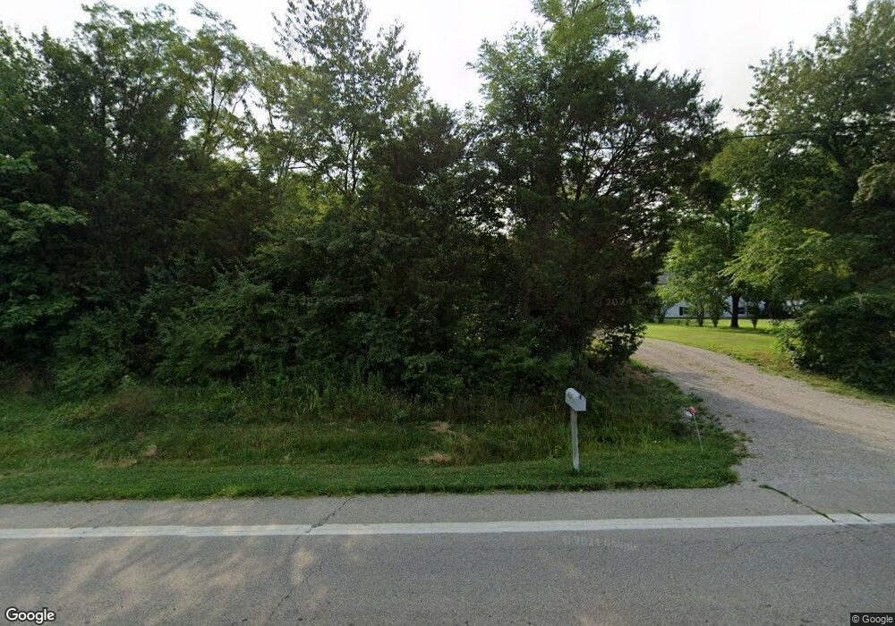
6686 State Route 132 Goshen, OH 45122
Estimated Value: $261,000 - $346,000
3
Beds
2
Baths
1,520
Sq Ft
$204/Sq Ft
Est. Value
About This Home
This home is located at 6686 State Route 132, Goshen, OH 45122 and is currently estimated at $309,452, approximately $203 per square foot. 6686 State Route 132 is a home located in Clermont County with nearby schools including Marr/Cook Elementary School, Spaulding Elementary School, and Goshen Middle School.
Ownership History
Date
Name
Owned For
Owner Type
Purchase Details
Closed on
May 22, 1995
Sold by
Watts Thomas
Bought by
Morency Dorothy
Current Estimated Value
Home Financials for this Owner
Home Financials are based on the most recent Mortgage that was taken out on this home.
Original Mortgage
$83,700
Interest Rate
8.42%
Mortgage Type
New Conventional
Purchase Details
Closed on
Apr 8, 1994
Purchase Details
Closed on
Sep 1, 1993
Create a Home Valuation Report for This Property
The Home Valuation Report is an in-depth analysis detailing your home's value as well as a comparison with similar homes in the area
Home Values in the Area
Average Home Value in this Area
Purchase History
| Date | Buyer | Sale Price | Title Company |
|---|---|---|---|
| Morency Dorothy | $93,000 | -- | |
| -- | $90,200 | -- | |
| -- | $12,900 | -- |
Source: Public Records
Mortgage History
| Date | Status | Borrower | Loan Amount |
|---|---|---|---|
| Closed | Morency Dorothy | $83,700 |
Source: Public Records
Tax History Compared to Growth
Tax History
| Year | Tax Paid | Tax Assessment Tax Assessment Total Assessment is a certain percentage of the fair market value that is determined by local assessors to be the total taxable value of land and additions on the property. | Land | Improvement |
|---|---|---|---|---|
| 2024 | $3,640 | $81,620 | $16,380 | $65,240 |
| 2023 | $3,528 | $81,620 | $16,380 | $65,240 |
| 2022 | $2,850 | $58,040 | $11,660 | $46,380 |
| 2021 | $2,867 | $58,040 | $11,660 | $46,380 |
| 2020 | $2,679 | $58,040 | $11,660 | $46,380 |
| 2019 | $2,153 | $44,770 | $11,060 | $33,710 |
| 2018 | $2,162 | $44,770 | $11,060 | $33,710 |
| 2017 | $2,164 | $44,770 | $11,060 | $33,710 |
| 2016 | $2,025 | $39,280 | $9,700 | $29,580 |
| 2015 | $1,827 | $39,280 | $9,700 | $29,580 |
| 2014 | $1,827 | $39,280 | $9,700 | $29,580 |
| 2013 | $1,973 | $44,280 | $9,700 | $34,580 |
Source: Public Records
Map
Nearby Homes
- 1868 Kirbett Rd
- 6677 Wood St
- 2213 Ohio 132
- 6490 Tralee Ln
- 1775 E Huntley Rd
- 2045 Irwin Cemetery Ln
- 1947 Main St
- 2005 Pebble Grove Way
- 2113 Shallow Cove Ct
- 2103 Shallow Cove Ct
- Jensen Plan at Pebble Grove - Maple Street Collection
- Charles Plan at Pebble Grove - Designer Collection
- Avery Plan at Pebble Grove - Designer Collection
- Yosemite Plan at Pebble Grove - Maple Street Collection
- Fairfax Plan at Pebble Grove - Maple Street Collection
- Breckenridge Plan at Pebble Grove - Maple Street Collection
- Wyatt Plan at Pebble Grove - Designer Collection
- Cumberland Plan at Pebble Grove - Maple Street Collection
- Wesley Plan at Pebble Grove - Maple Street Collection
- Beacon Plan at Pebble Grove - Maple Street Collection
- 6686 Ohio 132
- 6682 State Route 132
- 6709 State Route 132
- 6709 State Route 132
- 6705 State Route 132
- 6705 St Rt 132
- 6662 State Route 132
- 6691 Ohio 132
- 6691 State Route 132
- 6703 State Route 132
- 6685 State Route 132
- 6685 State Route 132
- 6685 Ohio 132
- 6654 State Route 132
- 6681 State Route 132
- 6646 State Route 132
- 6722 Ohio 132 Unit B
- 6722 Ohio 132
- 6722 State Route 132
- 1817 State Route 28
