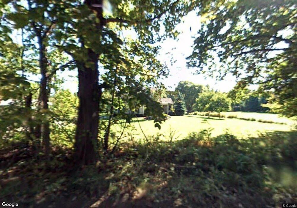
66870 Campground Rd Washington, MI 48095
Estimated Value: $385,445 - $581,000
Studio
3
Baths
1,795
Sq Ft
$261/Sq Ft
Est. Value
About This Home
This home is located at 66870 Campground Rd, Washington, MI 48095 and is currently estimated at $468,361, approximately $260 per square foot. 66870 Campground Rd is a home located in Macomb County with nearby schools including Indian Hills Elementary School, Cross Of Glory Lutheran School, and Bible Truth Christian Academy.
Ownership History
Date
Name
Owned For
Owner Type
Purchase Details
Closed on
Apr 22, 2020
Sold by
Malek Carol S and Malek Carol
Bought by
Malek Carol S
Current Estimated Value
Purchase Details
Closed on
Aug 8, 2018
Sold by
Malek Kenneth and Malek Carol
Bought by
Malek Carol S and Malek Carol
Home Financials for this Owner
Home Financials are based on the most recent Mortgage that was taken out on this home.
Original Mortgage
$223,200
Interest Rate
4.5%
Mortgage Type
New Conventional
Create a Home Valuation Report for This Property
The Home Valuation Report is an in-depth analysis detailing your home's value as well as a comparison with similar homes in the area
Home Values in the Area
Average Home Value in this Area
Purchase History
| Date | Buyer | Sale Price | Title Company |
|---|---|---|---|
| Malek Carol S | -- | None Available | |
| Malek Carol S | -- | None Available |
Source: Public Records
Mortgage History
| Date | Status | Borrower | Loan Amount |
|---|---|---|---|
| Closed | Malek Carol S | $223,200 |
Source: Public Records
Tax History
| Year | Tax Paid | Tax Assessment Tax Assessment Total Assessment is a certain percentage of the fair market value that is determined by local assessors to be the total taxable value of land and additions on the property. | Land | Improvement |
|---|---|---|---|---|
| 2025 | $2,637 | $203,200 | $0 | $0 |
| 2024 | $25 | $175,000 | $0 | $0 |
| 2023 | $2,427 | $164,200 | $0 | $0 |
| 2022 | $3,373 | $149,200 | $0 | $0 |
| 2021 | $3,300 | $142,200 | $0 | $0 |
| 2020 | $2,248 | $142,700 | $0 | $0 |
| 2019 | $3,028 | $118,500 | $0 | $0 |
| 2018 | $2,967 | $124,500 | $0 | $0 |
| 2017 | $2,861 | $118,300 | $37,100 | $81,200 |
| 2016 | $2,866 | $118,300 | $0 | $0 |
| 2015 | -- | $113,300 | $0 | $0 |
| 2013 | $3,233 | $106,800 | $31,000 | $75,800 |
| 2012 | $3,233 | $93,800 | $0 | $0 |
Source: Public Records
Map
Nearby Homes
- 6281 31 Mile Rd
- 8200 Campground Rd
- 67300 Campground Rd
- 67736 Overlook Trail
- 67748 Overlook Trail
- 67773 Quail Ridge
- 7699 Orchard Ln
- 7557 Orchard Ln
- 65723 Mound Rd
- 65589 Mound Rd
- 67091 Van Dyke Rd
- 72160 Van Dyke Ave
- 7583 Brunswick Unit 52
- 7583 Brunswick
- 7496 Brunswick Unit 49
- 7496 Brunswick
- 7538 Brunswick Unit 48
- 7538 Brunswick
- 7474 Brunswick Unit 50
- 7474 Brunswick
- 66900 Campground Rd
- 66773 Campground Rd
- 8100 31 Mile Rd
- 66723 Campground Rd
- 8200 31 Mile Rd
- 66800 Campground Rd
- 66825 Campground Rd
- 66850 Campground Rd
- 8250 31 Mile Rd
- 66700 Campground Rd
- 7830 31 Mile Rd
- 66597 Campground Rd
- 66600 Campground Rd
- 7788 31 Mile Rd
- Parcel B Campground Rd
- 66673 Campground Rd
- 67723 Autumn Hollow
- 66591 Campground Rd
- 7764 31 Mile Rd
- North 31 Mile Rd
Your Personal Tour Guide
Ask me questions while you tour the home.