669 County Road 2425 Decatur, TX 76234
Estimated Value: $447,970 - $776,000
--
Bed
--
Bath
2,262
Sq Ft
$257/Sq Ft
Est. Value
About This Home
This home is located at 669 County Road 2425, Decatur, TX 76234 and is currently estimated at $580,993, approximately $256 per square foot. 669 County Road 2425 is a home located in Wise County with nearby schools including Slidell Schools.
Ownership History
Date
Name
Owned For
Owner Type
Purchase Details
Closed on
Aug 24, 2007
Sold by
Candioto David and Candioto Lauri
Bought by
Myers Keith and Myers Caroline
Current Estimated Value
Home Financials for this Owner
Home Financials are based on the most recent Mortgage that was taken out on this home.
Original Mortgage
$165,000
Outstanding Balance
$104,790
Interest Rate
6.72%
Mortgage Type
New Conventional
Estimated Equity
$476,203
Purchase Details
Closed on
Oct 11, 2004
Sold by
Candioto David
Bought by
Meyers Keith and Meyers Caroline
Purchase Details
Closed on
Jan 1, 1901
Bought by
Meyers Keith and Meyers Caroline
Create a Home Valuation Report for This Property
The Home Valuation Report is an in-depth analysis detailing your home's value as well as a comparison with similar homes in the area
Home Values in the Area
Average Home Value in this Area
Purchase History
| Date | Buyer | Sale Price | Title Company |
|---|---|---|---|
| Myers Keith | -- | -- | |
| Meyers Keith | -- | -- | |
| Meyers Keith | -- | -- |
Source: Public Records
Mortgage History
| Date | Status | Borrower | Loan Amount |
|---|---|---|---|
| Open | Myers Keith | $165,000 |
Source: Public Records
Tax History Compared to Growth
Tax History
| Year | Tax Paid | Tax Assessment Tax Assessment Total Assessment is a certain percentage of the fair market value that is determined by local assessors to be the total taxable value of land and additions on the property. | Land | Improvement |
|---|---|---|---|---|
| 2025 | $2,396 | $367,232 | -- | -- |
| 2024 | $2,396 | $333,847 | $0 | $0 |
| 2023 | $4,030 | $303,497 | $0 | $0 |
| 2022 | $3,963 | $275,906 | $0 | $0 |
| 2021 | $3,670 | $250,820 | $11,490 | $239,330 |
| 2020 | $3,471 | $235,560 | $7,740 | $227,820 |
| 2019 | $3,570 | $231,700 | $8,000 | $223,700 |
| 2018 | $3,574 | $226,910 | $7,480 | $219,430 |
| 2017 | $3,258 | $210,980 | $6,720 | $204,260 |
| 2016 | $2,943 | $192,000 | $5,980 | $186,020 |
| 2015 | -- | $171,480 | $5,480 | $166,000 |
| 2014 | -- | $157,680 | $4,480 | $153,200 |
Source: Public Records
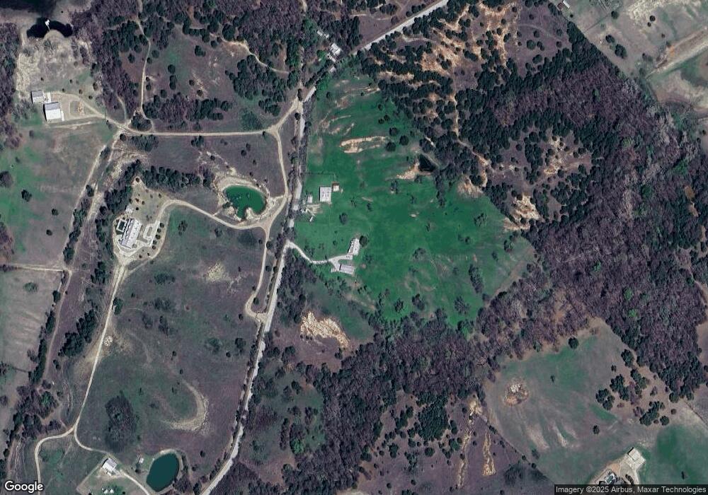
Map
Nearby Homes
- 145 County Road 2327
- 124 Blackstar Ln
- 116 Blackstar Ln
- 132 Blackstar Ln
- 159 Blackstar Ln
- 0 Highway 287 Unit 21102120
- 0 Highway 287 Unit 21094377
- 2727 Greenwood Rd
- TBD Pr 2454
- 459 Private Road 2625
- 2080 County Road 2445
- 2454 Private Rd
- TBD3 N Fm 730
- 853 County Road 2215
- 392 Pr Road 2625
- 0000 Fm N 730
- TBD County Rd 2735
- TBD County Road 2740
- 200 Pr 2462
- 1430 County Road 2735
- Lot10 County Road 2425
- 0000 County Rd 2425
- 0000 County Rd 2425
- 514 County Road 2425
- 577 County Road 2937 Unit 2429
- 577 County Road 2937 Unit 2429
- Lot 3 County Road 2425
- 806 County Road 2425
- 400 County Road 2425
- 428 County Road 2425
- 738 County Road 2425
- 4995 N Fm 51
- 999 County Road 2425
- 365 County Road 2425
- 317 County Road 2430
- 784 County Road 2425
- 323 County Road 2430
- 224 Private Road 2431
- 224 Private Road 2431
- 321 County Road 2430